This trip was one heck of way to start the 2015 hiking season!
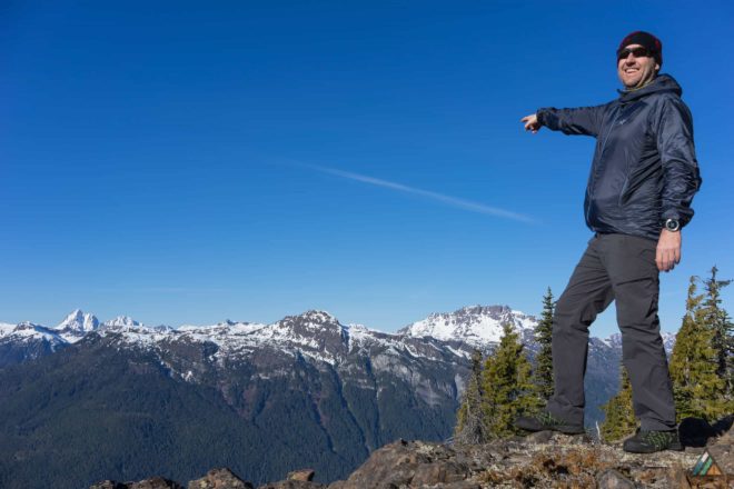
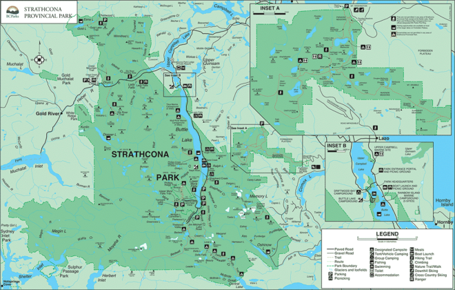
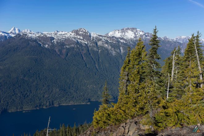
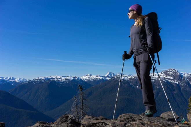
After hibernating all winter, my out-of-shape hiking legs were still sore from the climb a week later. Would I do it again? Yes, most definitely! Jack’s Trail in Strathcona Provincial Park is described as a knee-jarring, brutal descent. It is usually ignored until the last day of the popular east to west Augerpoint Traverse. Jack Shark built the outcast trail after a forest fire burned the original one 30 years ago. However, it’s a well engineered track, similar to other Buttle Lake corridor trails like Flower Ridge or Marble Meadows. The views of Mount McBride, Marble Peak, the Golden Hinde, Mount Phillips, and Mount Myra are more than worth the climb!
Driving Directions
- Drive 4 h (332 km) from Victoria to trailhead on Westmin Mines Road (20 km south of Hwy #28 junction, 1 km north of Augerpoint Picnic Area). Watch for flagging on east side of road and faded blue painted arrow on pavement. Google Map
Permits & Fees
- There are no permits or fees associated with this area and no facilities are provided. Check out the BC Parks website for more details.
Books & Maps
- Stone P. Island Alpine: A Guide to the Mountains of Strathcona Park and Vancouver Island. 1st ed. Wild Isle Publications; 2003. wildisle.ca
- 92-F/12. Scale 1:50,000. Edition 05. Buttle Lake. British Columbia. Produced by the Canada Centre for Mapping, Department of Energy, Mines and Resources. Published 1991.
Route Conditions
Weather Updates
Trip Report
Jack’s Trail – February 21-22, 2015

- Distance: 10 km
- Duration: 2 days
- Peak: 1400 m
- Gain: 1160 m
We initiated a subalpine start from Victoria on Saturday at 0500 h, drove four hours to the Jack’s Trailhead, hiked up to the “no-snow” line, pitched a tent, ate some backcountry gourmet yummies, watched the sunset over the Golden Hinde, took some photos, went to bed in sub-zero temps, woke-up, watched the sunrise, took some photos, warmed-up in the sunshine, hiked down Jack’s Trail, drove back to Victoria, and arrived home at 2100 h Sunday night. We predicted the trail would be in top-notch shape that weekend. The route had basked in the sun during the unseasonably warm and clear blue days of February!


