Welcome to our Juan de Fuca Marine Trail Guide! This resource includes information and tips to help plan your adventure in Juan de Fuca Provincial Park. To skip to a specific topic of interest, use the quick links below for easier navigation.
Highlights
Overall the Juan de Fuca Marine Trail is worth hiking! There are many reasons to include this one on your Vancouver Island coastal bucket list.
- Obtainable wilderness. The trail is easily accessible to day-hikers and backpackers, and offers all kinds of beach and forest terrain. Even though the Juan de Fuca Marine Trail is relatively close to Highway 14, there is lots of marine wildlife to observe and secluded pockets to explore.
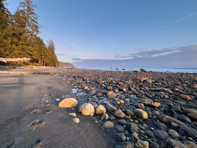
- Excellent training. The Juan de Fuca Marine Trail is a great place to train your body and test your gear for longer coastal trips like the West Coast Trail or the North Coast Trail. Most of the important terrain features are encountered: steep forest slopes, mud, tidal shelves, boardwalks, tide problems, pebbles, bridges, and boulders.
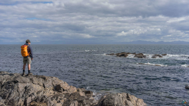
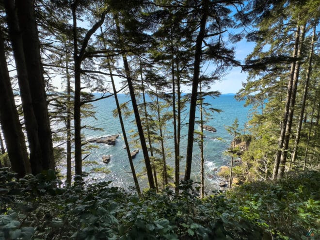
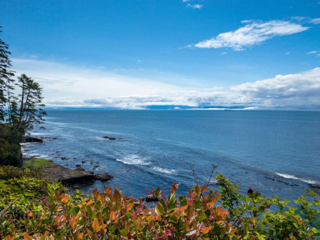
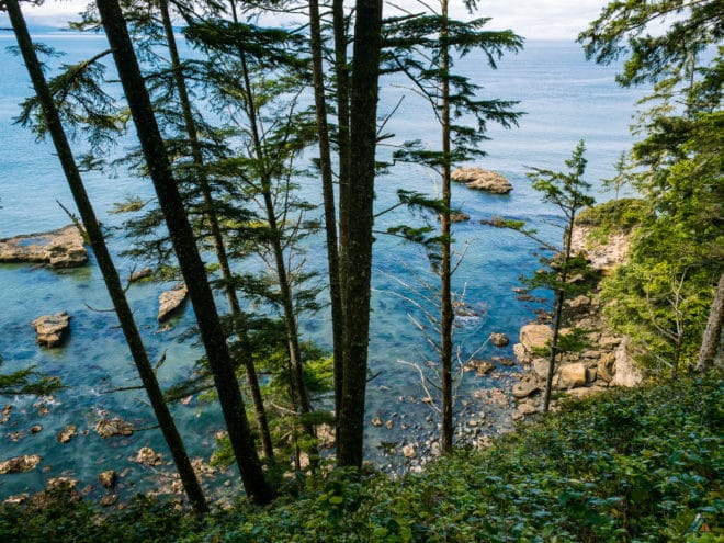
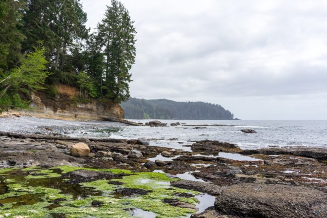
- Waterfront views. Most of the Juan de Fuca Marine Trail is in second-growth forest. However, the coastal sections have tremendous views in spectacular seascapes. Of particular note are the views across the Straight of Juan de Fuca into the mountains of Olympic National Park.
Overview
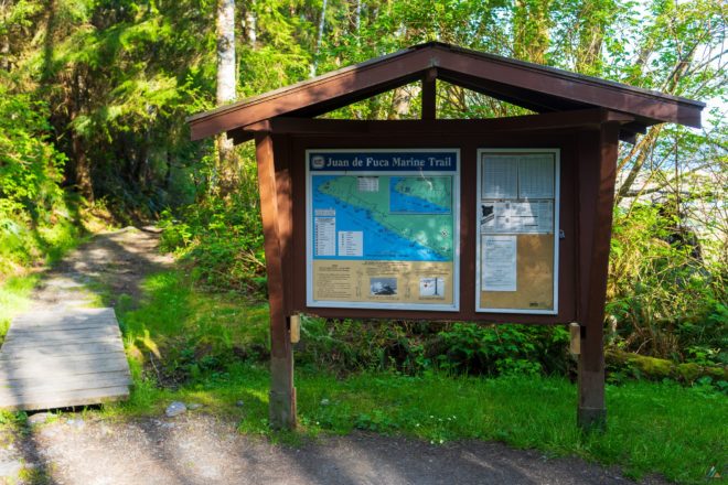
- Location: West Coast of Vancouver Island, British Columbia, Canada
- Park: Juan de Fuca Provincial Park
- First Nations: Dididaht, Pacheedaht, T’Souke
- Distance: 47 km
- Duration: Typically completed in 3-5 days, depending on fitness and desire
- Difficulty: Complex coastal and rainforest terrain
- Open: Year-round
- Peak season: July to September
- Permits: Required year-round
- Fees: $10 per person per night ($5 for children six to 15 years old)
- Reservations: Recommended for shuttles
- Pets: Not recommended
- Trailheads: China Beach, Sombrio Beach, Parkinson Creek, Botanical Beach
- Shuttles: West Coast Trail Express
- Cable car crossings: None
- Camping: 6 sites (water sources, food lockers, pit toilets)
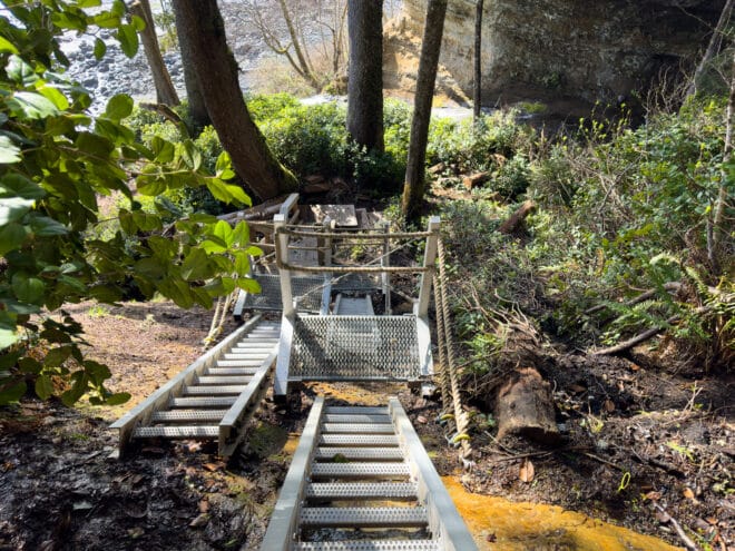
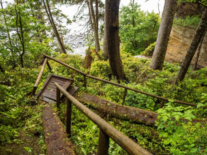
- Structures: Stairs, suspension bridges, wood bridges
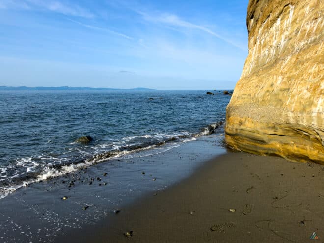
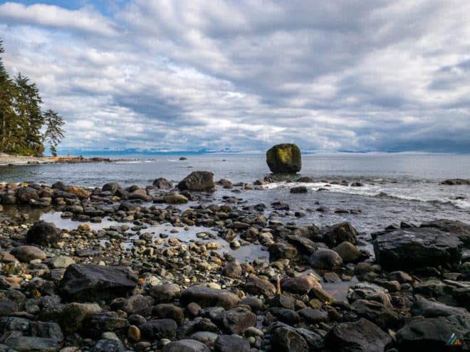
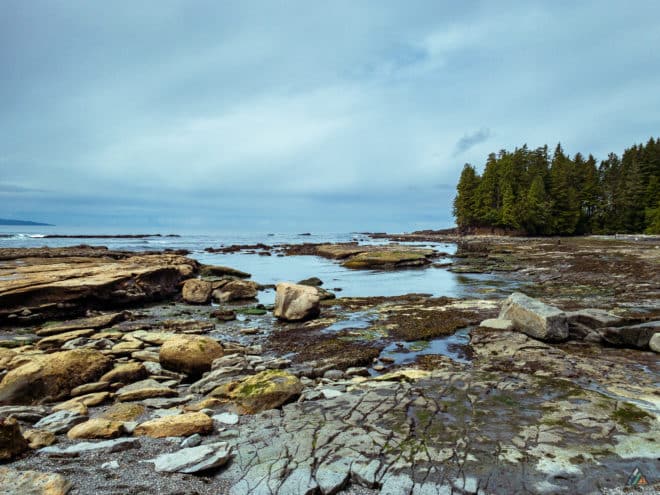
- Geologic features: Rock shelves, sandstone cliffs, headlands
- Wildlife: Gray whales, humpback whales, orcas, seals, sea lions, black bears, wolves, cougars, eagles, ravens, sea birds, river otters, slugs, intertidal animals
- Weather: Heavy rain, cool temperatures, high winds, damp fog, hot sun
- Hazards: Slippery roots, deep mud, steep slopes, washouts, blowdowns, fallen logs, tide problems, deep sand, pebbles, boulders, tidal shelves, rocky shorelines, impassible headlands, creek crossings, tsunamis, rouge waves, floods, landslides, broken structures
- Emergency help: There is intermittent cell phone service from USA towers (we carry a satellite messenger)
Map
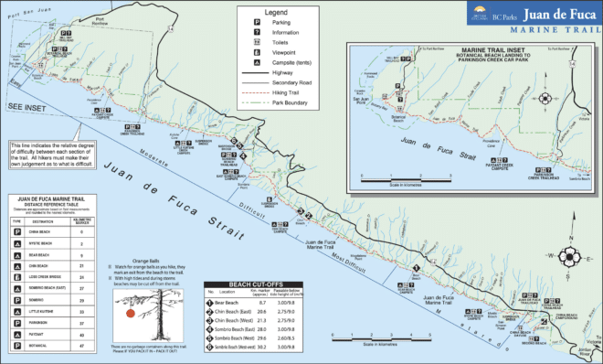
The official BC Parks Juan de Fuca trail map is good for an overview. Check out our route on CalTopo for more detailed topographical map layers.
Guide Book
There are two guide books to help plan your hike on the Juan de Fuca Trail. Giant Cedars, White Sands: The Juan de Fuca Marine Trail Guidebook by Donald C. Mills and Coastal Hikes by Philip Stone (temporarily out of stock in print and new edition is underway).
- Mills D. Giant Cedars, White Sands: The Juan de Fuca Marine Trail Guidebook. Pallas*Trine Services. 1999, 2008. www.donaldcmills.com
- Stone P. Coastal Hikes: A Guide to West Coast Hiking in British Columbia and Washington State. 1st ed. Wild Isle Publications. 2007. www.wildisle.ca
- Digital eBook edition is available: Apple iTunes Store, Google Play Books
Permit
BC Parks charges each person $10 per night to hike the Juan de Fuca Marine Trail. Children from six to 15 years old are $5 per person per night. There are two ways to pay:
- Online. BC Parks Backcountry Reservation System allows you to purchase a backcountry permit before leaving home. The system does not reserve a campsite, but eliminates the inconvenience of carrying cash.
- Cash. You can still pay the old fashioned way by depositing an exact amount of Canadian currency into self-registration envelopes at the trailheads.
Access
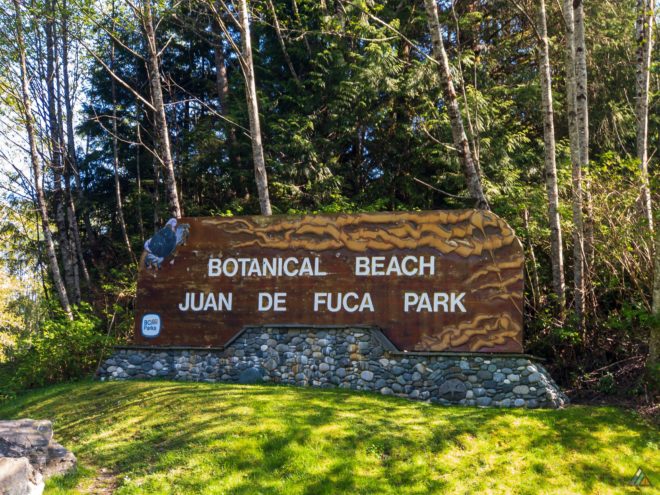
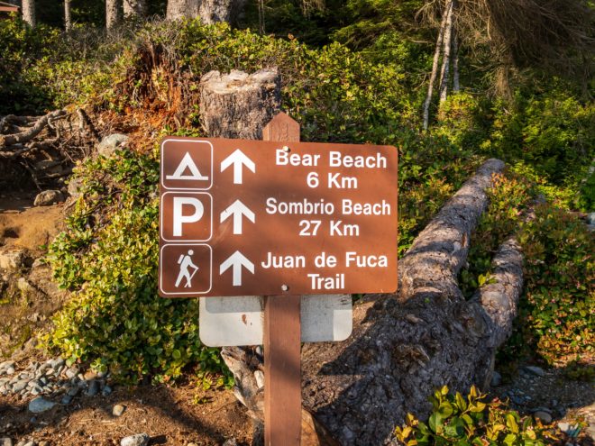
There are many ways to hike the Juan de Fuca Marine Trail. There are four official trailheads: China Beach, Sombrio Beach, Parkinson Creek, and Botanical Beach. All are accessible off Highway 14 between Jordan River and Port Renfrew.
Shuttle
The West Coast Trail Express shuttle stops in Victoria, Sooke, China Beach, Sombrio Beach, Parkinson Creek, Port Renfrew, and connects to Nanaimo. Fares range from $30-140 per person depending on distance between shuttle stops. Be prepared to walk a few kilometres along the road to Port Renfrew from Botanical Beach (or hope for a ride). Another option would be to shuttle a second car to the opposite trailhead.
- West Coast Trail Express Juan de Fuca Trail Schedule
- West Coast Trail Express Juan de Fuca Trail Fares
Campsites
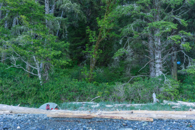
New for 2023
Brand new tent pads have been installed at several of the established campsites. In total, 50 new ones for 2023: ten at Mystic Beach, five at Bear Creek East, five at Bear Creek West, five at Chin Beach East, five at Chin Beach West, ten at Little Kuitshe Creek, and ten at Payzant Creek.
There are six established campsites along the Juan de Fuca Marine Trail. All sites have tent pads, pit toilets, food caches, and a water source.
Mystic Beach
The Mystic Beach Camp (2.2 km) is very pretty with a waterfall at the east end and stretches of sand. The beach is small and camping can be crowded as Mystic is close to the China Beach Trailhead. It may be a reasonable location for a short over-night beginner backpacking trip. Most hikers completing the Juan de Fuca Trail from China Beach will pass through Mystic Beach and camp at Bear Beach.
Bear Beach
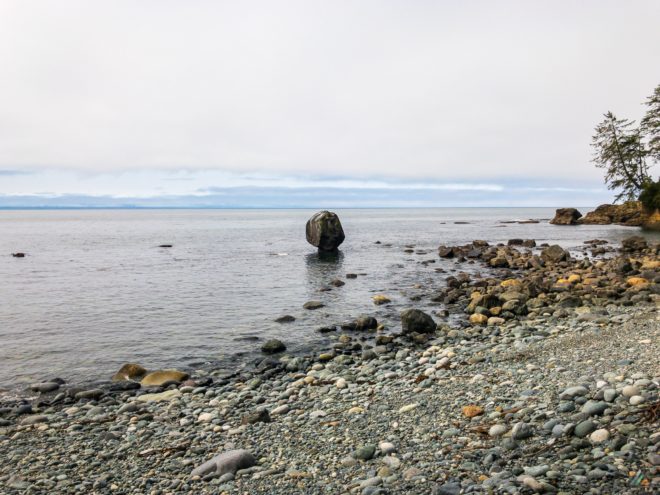
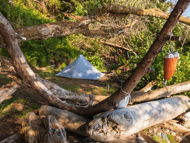
There are three camping zones on Bear Beach: east (8.2 km), west (10 km), and west-west (10.5 km). There is a tide problem at 8.7 km. Each zone has it’s own pit toilet, food cache, and major creek (Rosemond, Clinch, and Ledingham respectively). The nicest area is the west-west camp, as it is quieter and close to the west forest entrance. It also has a great view of the unusual mushroom-shaped formation called Rock-on-a-Pillar.
Chin Beach
There are two camping zones at Chin Beach: east (20) and west (21 km). The main beach is a bright, welcome sanctuary from the darker forest sections. The space is smaller than Bear Beach, so competition is higher. There are places along the central beach and above the high-tide logs to create a tent platform away from the fray. It’s a fantastic place to watch for whales and relax after backpacking. There are tide problems at the east end (20.6 km) and the west end (21.3 km) of Chin Beach.
Sombrio Beach
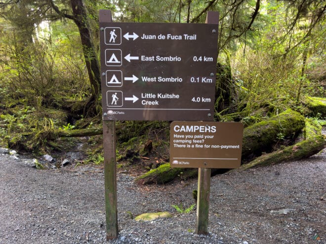
A long, classic west coast beach awaits at Sombrio Beach (27 km) with many places to pitch your tent. You can camp on either side of the Sombrio Beach east tide problem (28 km). West Sombrio Beach (29 km) is super-popular with day-users, weekend campers, and surfers. East Sombrio is probably the nicest camping zone on the entire Juan de Fuca Trail as there is more space to find some seclusion. This is the place to stay for more than one night if planning an extended trip. There are is a tide problem at West Sombrio Bluff (29.3) and one west of the bluff (30.2 km).
Little Kuitshe Creek
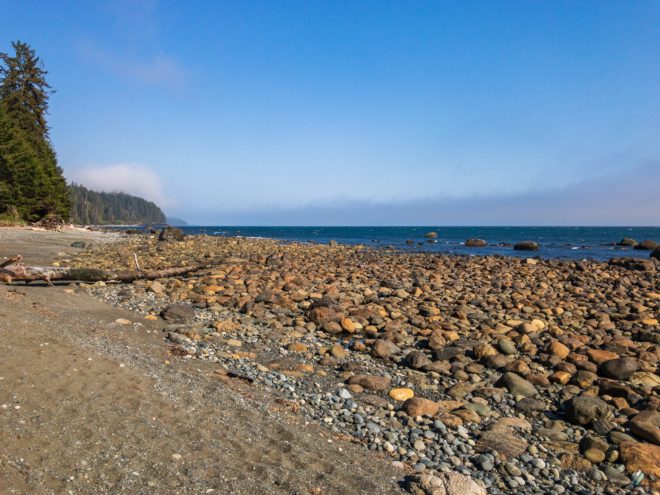
The one redeeming quality of Little Kuitshe Creek Camp (33 km) is access to a gorgeous rocky shoreline. There are lots of opportunities for resting, exploring, and scrambling by the ocean. There is even a small lagoon pool for swimming or bathing if you embrace the chill. However, the main tent area is not very inspiring in the thin, dark, brown forest. There are a couple of secret tent spots with excellent views of the water. If you don’t snag one of these nice locations, you probably won’t want to hang out at Little Kuitshe Creek Camp too long.
Payzant Creek
The tent sites at Payzant Creek Camp (40 km) are scattered around Payzant Creek on multiple forest levels. The space is cool, pretty and green, much like the Ewok Village minus the teddy bears. It’s close to the popular Botanical Beach Trailhead and falls along the easiest part of the Juan de Fuca Trail. Payzant Creek Camp is nicer than Little Kuitshe Creek Camp, but there is no access to ocean views or the shoreline.
Route
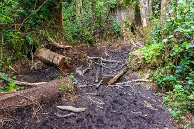
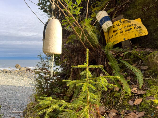
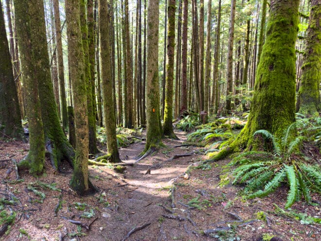
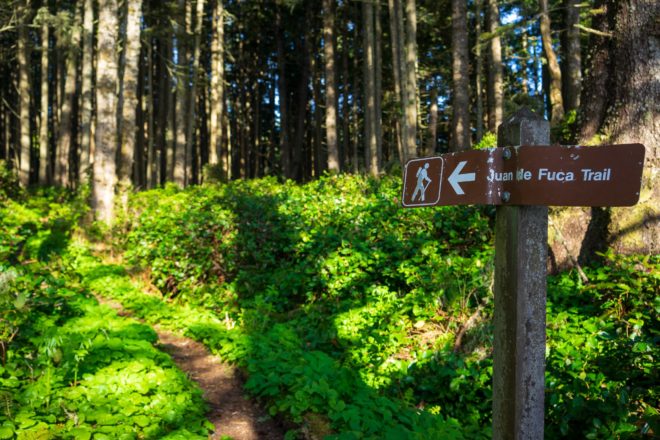
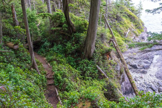
The Juan de Fuca Marine Trail was a challenging coastal experience. Mostly in second-growth forest, the route bumped up-and-down endless creek gullies. The trail was dry that weekend, with only a few boggy “permanent” mud holes. Several sections of trail had decent cliff exposure and drop-offs. Don’t trip or stumble through the salal into the void! There were only a few sections where beach hiking was possible, with the longest beach chunk around the Sombrio area. Be prepared for sand, pebbles, tidal shelves, and slippery boulders. We hiked westbound from the China Beach Trailhead to the Botanical Beach Trailhead, completing the more difficult sections of the Juan de Fuca Trail first. Our feet were hot in water-resistant hiking boots plus low gaiters. We may have been okay with grippy-soled trail shoes and nimble steps because the trail was fairly dry. In fact, we were able to easily ford the Sombrio River on stepping-stones. We used trekking poles for all sections. Forest entrances were well-marked with orange floats hanging from trees. BC Parks boards and maps were located at each camp and trailhead. There are six fun tide problems to navigate, so tide tables must be printed and carried for appropriate planning.
Tides
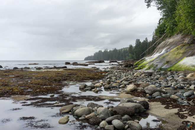
There are six major tide problems along the Juan de Fuca Marine Trail. Coastal hikers must learn how to use tide tables before they start their trip. Tables should be printed and carried at all times.
1. Bear Beach east (west of Rosemond Creek): 8.7 km
2. Chin Beach east: 20.6 km
3. Chin Beach west: 21.3 km
4. Sombrio Beach east: 28 km
5. Sombrio Beach west: 29.6 km
6. West of West Sombrio Bluff: 30.2 km
At high tide, alternate forest routes are available at Chin Beach West (#3). A slope failure at Sombrio Beach west (#5) has made the West Sombrio alternate trail (located between 29.3 km and 29.9 km) inaccessible from the east end. Hikers traveling in either direction must plan accordingly and use tide tables to pass the West Sombrio Bluff along the shoreline.
Port Renfrew (#8525) 7 Days Tidal Predictions
Trip Reports
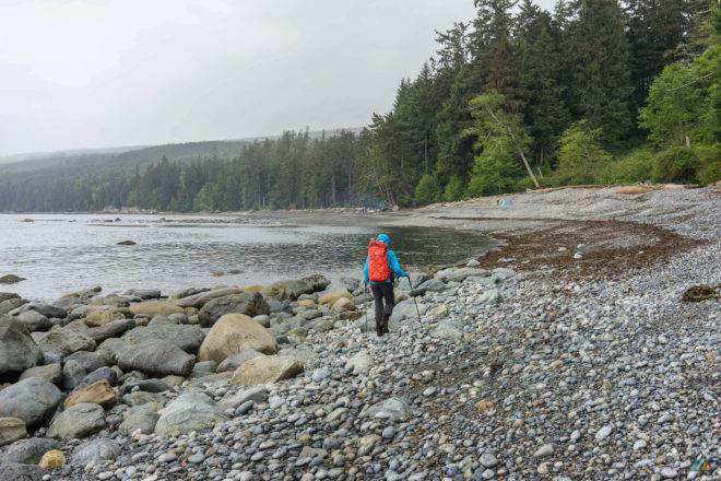
- Sombrio Beach to Chin Beach – April 26-28, 2023
- China Beach to Bear Beach – March 15-17, 2023
- China Beach to Botanical Beach – June 10-13, 2020
- China Beach to Chin Beach – May 28-31, 2019
- Botanical Beach to East Sombrio Beach – April 30-May 2, 2019
- China Beach to Botanical Beach – May 20-23, 2016
Sombrio Beach to Chin Beach – April 26-28, 2023
- Distance: 26 km
- Duration: 3 days
- Route: CalTopo
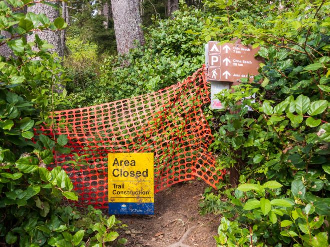
Another nice weather window opened so it was time for Juan de Fuca Trail Part 2! I started my second trip at Sombrio Beach trailhead and headed east towards Chin Beach. There were still trail closures at the western end, so a full through-hike was not possible. However, I wanted to complete more physical conditioning and visit the new tent pads at Chin Beach.
Day 1: Sombrio Beach to Chin Beach
- Distance: 8.8 km
- Duration: 3 h 4 min
- Track: Suunto
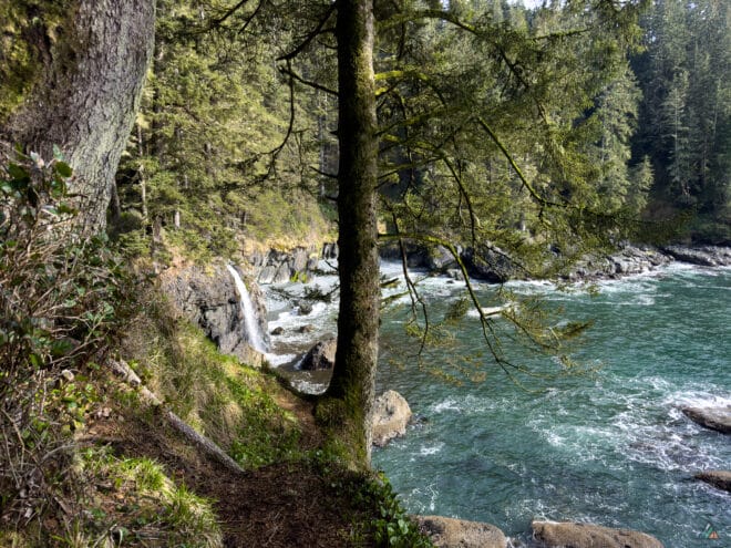
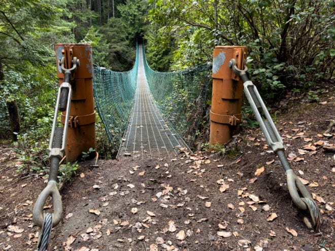
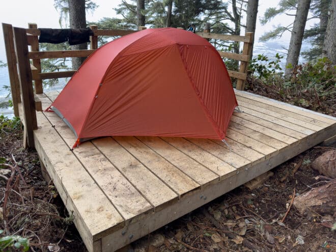
I walked by happy Sombrio campers and headed to the waterfall viewpoint. Weather was favourable, with scattered clouds, no precipitation, temperatures around 9°C, and a light west wind. The trail near Sombrio Point meandered along the cliff edge. Mud met my boots as I hiked up the biggest hill of the day. I then enjoyed an easy cruise along a graded old logging road. The JDF includes a variety of structures, but the Loss Creek suspension bridge is the most dramatic. I moved up and down the roller coaster of small creek drainages and finally arrived at the first Chin Beach access. The tide was too high to continue along the coast, so I headed into the forest to the next beach access. Lots of campers had settled at the main Chin campground, but the new tent pads at East Chin were empty. The location of these pads are where the old Emergency Shelter used to be. This penthouse suite overlooked the beach 50 m below. There was no food cache yet, and the closest fresh water was a few hundred metres away. I enjoyed a beautiful night of ocean sounds. Wildlife sightings included a fisher or mink, plus lots of birds.
Day 2: Chin Beach to Magdalena Point
- Distance: 13.2 km
- Duration: 5 h 38 min
- Track: Suunto
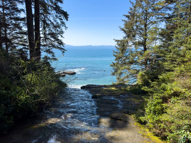
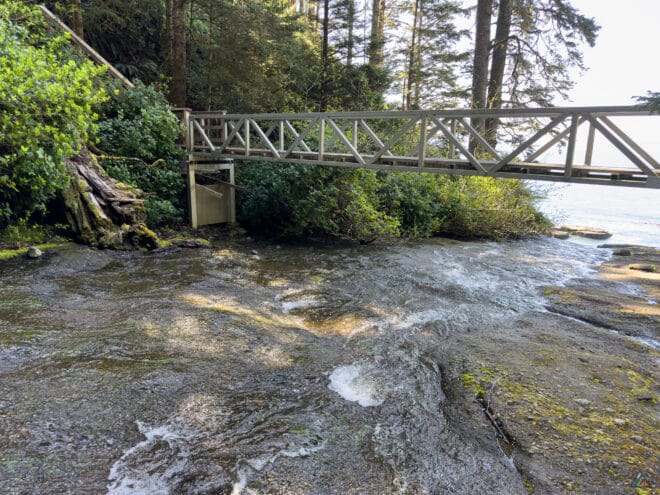
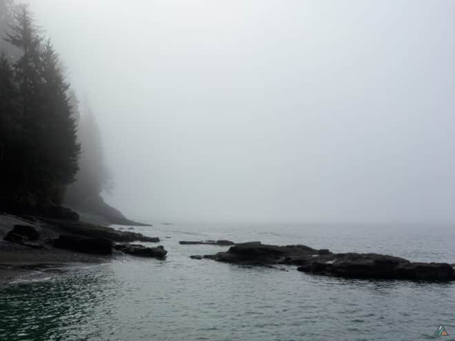
Day 2 started foggy, but hot sunshine burned the moisture off by noon. Air temperatures ranges from 7.2°C to 15.3°C with light east winds. The section east of Chin Beach is one of the most challenging parts of the JDF. The physical training is excellent, with lots of mud, roots, blowdowns, bushy sections, metal bridges, wooden stairs, and boardwalks. Lots of new infrastructure has been built in last couple of years, but there is still work to do. There are some detour routes required. Pay careful attention, as it is easy to go off in the wrong direction. Wildlife sightings included hummingbirds excited for fresh salmon berry nectar, Pacific wrens, Cooper’s hawks, robins, ravens, and eagles. I stayed awake to record a sunset time-lapse video, then early to bed after a challenging day. At 2100 h, swimming and barking sea lions woke me up!
Day 3: Chin Beach to Sombrio Beach
- Distance: 8.6 km
- Duration: 3 h 16 min
- Track: Suunto
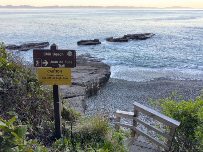
Day 3 started early as I had a full schedule back at the office. I was up at 0500 h with the birds, which felt easier with springtime light. My last night was warmer, with an overnight low temperature of 9.4°C and no wind. Sleeping on wooden tent pads can feel cold because air moves underneath and does not insulate like the ground. I tried out a new Thermarest Neoair Xlite NXT sleeping pad. This product is quieter and was the perfect R value 4.2 for single digit nights. I was happy with no overnight moisture and a dry tent fly for the pack-up. The hike back to Sombrio seemed easier after a few days yo-yoing on the trail. We’re looking forward to the full Juan de Fuca Trail reopening for a complete thru-hike later in the season!
China Beach to Bear Beach – March 15-17, 2023
- Distance: 28 km
- Duration: 3 days
- Route: CalTopo
It was time to stretch the legs and hit the trails! I caught a nice weather window with the first warm days of the year, clear skies, and no precipitation in the forecast. Considering my time constraints and the partial trail closure between Little Kuitshe Creek Campground and the Parkinson Creek Trailhead, I opted for a quick yo-yo hike on the east end from China Beach Trailhead to Bear Beach. I planned for two nights of backcountry camping with day-hiking to test gear and train for bigger trips ahead.
Day 1: China Beach Trailhead to Bear Beach
- Distance: 10.1 km
- Duration: 3 h 39 min
- Track: Suunto
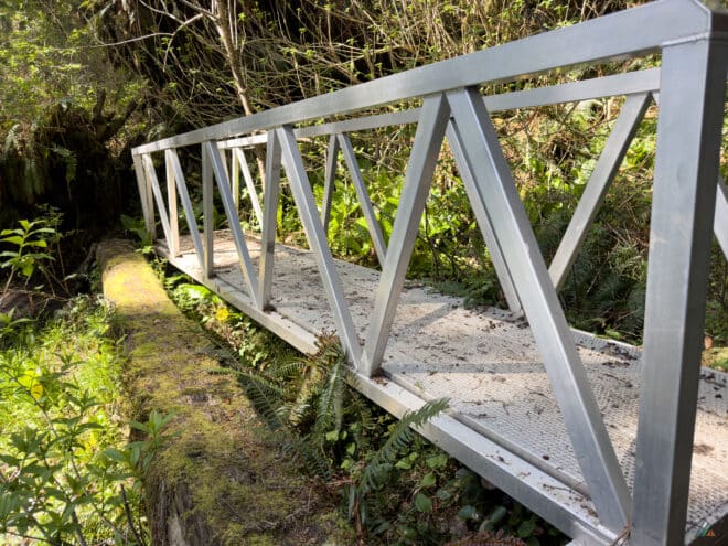
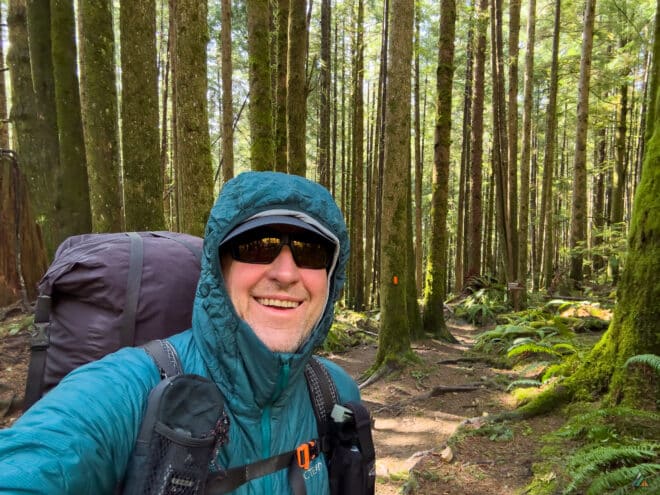
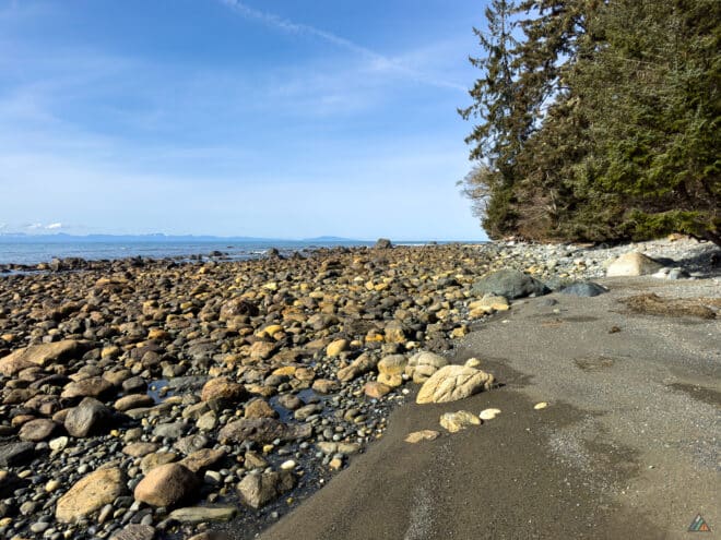
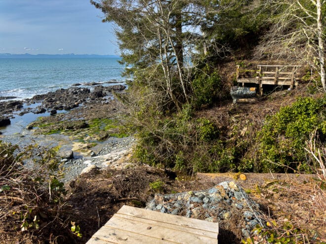
I arrived at the China Beach Trailhead parking lot just after noon. There were many day-hikers around with the same idea to enjoy sunny weather. The late winter weather conditions were optimal: clear skies, no precipitation, cool temperature of 6.7ºC, humidity at 74.7%, and no wind. After gearing up and checking instruments, I plodded down the trail towards Mystic Beach. The section between China Beach Trailhead and Mystic Beach was the only zone where I passed other hikers. I encountered four other campers during my three days at Bear Beach. Mystic Beach was busy, but after hiking the beach and back into the forest, it was just me and the birds. I hadn’t been on the trail since the new infrastructure improvements. It was a delight to see the bright metal bridges and ladders, wooden stairs and boardwalks, and fresh tent pads strategically placed.
Day 2: Bear Beach to Magdalena Point
- Distance: 9.1 km
- Duration: 3 h 26 min
- Track: Suunto
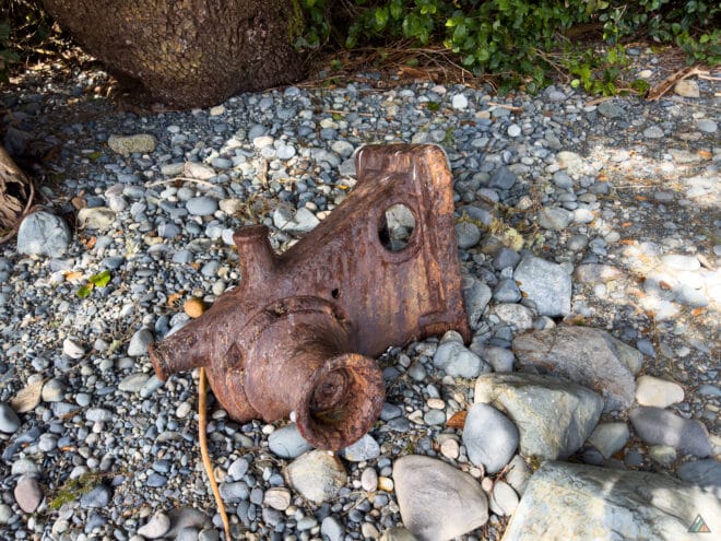
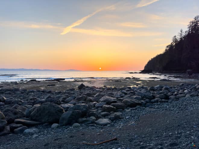
My first night out was clear and cold with a low temperature of 1.8ºC. I was happy to have my long base layers, cozy insulating layers, and a high R-value sleeping pad for an overnight on the sand. A mellow morning of stove-testing and tea-drinking eventually led to packing a day-bag and hiking towards Magdalena Point. The weather was perfect for hiking with clear skies, no precipitation, a mid-day high temperature of 11.2ºC, low humidity of 58.7%, and a light, cooling breeze. Wildlife viewing included ravens, cormorants, seagulls, eagles, pacific wrens, robins, other unidentified thrushes, and river otter tracks in the sand. I did not observe any bear tracks or sign, which was odd because this was supposed to be Bear Beach! The hike climbed up, down, and around nicely graded paths. The familiar switchbacking drainages now included improved infrastructure such as metal bridges, wooden boardwalks, and staircases. The blown out bridge over Hoard Creek is still waiting for replacement. Take it easy on the reroute across the creek; the path to the beach is super slippery. At around 14 km, I enjoyed the waterfall and retraced my steps. I arrived at camp for a relaxing afternoon of testing dehydrated dinners and capturing a time-lapse of a beautiful coastal sunset.
Day 3: Bear Beach to China Beach Trailhead
- Distance: 10.0 km
- Duration: 2 h 46 min
- Track: Suunto
My second night was clear and cool again, but slightly warmer with a low temperature of 2.8ºC. At this time of year, the Bear Beach campsites don’t get direct sun until a couple hours after sunrise. I moved my hot breakfast and tea out onto the sunny driftwood logs and enjoyed the morning listening to birds and looking at tide charts. The last few days had only two low and two high tides with a 12-hour change between them. Today the tide was 3.0 m high at 0930 h, right when I wanted to cross the only tidal obstacle on this section of trail at 8.7 km on Bear Beach. After much lingering and breaking camp slowly, I departed at 0930 h and headed towards the tidal obstacle, hoping for the best. Luckily, it was easily passible with a sprint around the rock between the waves. I didn’t see any other hikers until arriving at Mystic Beach a couple of hours later. I knew I would run into trail crew when I heard the chainsaw running at the beach. A few workers were busy building new tent pads in the forest edge, the last infrastructure going in this season. Besides the new pads at Bear Beach, there are also new pads freshly installed at Little Kuitshe Creek and Payzant Creek. It’s wonderful to experience all the new BC Parks projects. I am looking forward to returning when the JDF Trail reopens in full.
China Beach to Botanical Beach – June 10-13, 2020
- Distance: 44 km
- Duration: 4 days
- Peak: 124 m
- Gain: 2062 m
- Route: CalTopo
The Juan de Fuca Marine Trail officially reopened on June 1, 2020. I was eager for an outdoor adventure after a prolonged trail closure. It was time to get my trail legs back in shape. My backpack was loaded with the essentials and a few extra pieces of gear to test, plus some new dehydrated food recipes. The goal was to hike the northbound route over four days and three nights. I had a family picnic and pickup scheduled for Botanical Beach and was already thinking about the picnic basket!
Weather
The weather forecast called for an unstable onshore flow with clouds and scattered showers. I started the hike in light rain and warm temperatures. The evenings brought breaks in the clouds, cooler temperatures, and intermittent showers. The winds were calm for most of the trip.
- Day 1: China Beach Trailhead to Bear Beach. Sky: overcast, Precipitation: light rain, Temperature: 12.5-18.3ºC, Humidity: 70.8-99.9%, Wind: calm, Pressure: 1018.1 mb.
- Day 2: Bear Beach to East Sombrio Beach. Sky: scattered, Precipitation: nil, Temperature: 10.8-15.8ºC, Humidity: 76.6-100.0%, Wind: calm, Pressure: 1017.1 mb.
- Day 3: East Sombrio Beach to Payzant Creek. Sky: broken, Precipitation: light rain, Temperature: 10.8-15.4ºC, Humidity: 89.9-100.0%, Wind: calm, Pressure: 1015.4 mb.
- Day 4: Payzant Creek to Botanical Beach Trailhead. Sky: broken, Precipitation: nil, Temperature: 9.5-18.0ºC, Humidity:73.00-100.0%, Wind: calm, Pressure: 1013.6 mb.
Route
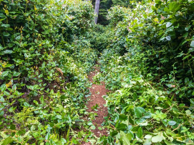
Trail maintenance was just starting for the 2020 season. China Beach Trailhead to Mystic Beach was clear with minimal mud. The path became bushy past Mystic Beach, but fresh pruning at 7 km opened up the trail. Bear Beach to East Sombrio Beach was the most difficult section because of cumulative elevation gain. Obstacles compounded the challenge, including a massive multi-tree blowdown at 16 km. Sporadic flagging led hikers over a big pile of fallen trees. Trail improvements from the 2019 construction project included rebuilt bridges, rope fences, and railed staircases above the Sombrio Point cliffs. The trail from West Sombrio Beach to Little Kuitshe Creek was bushy and muddy, with overgrown salal through the clear cut. The old logging roads at Parkinson Creek and the sandstone shelves on the Parkinson to Payzant Creek low tide route delivered easier hiking. Boardwalk sections punctuated the smoother trail from Payzant Creek to Botanical Beach Trailhead.
- Day 1: China Beach Trailhead to Bear Beach. Distance: 9.49 km, Duration: 3:47’19, Peak: 105 m. Ascent: 286 m, Ascent time: 1:12’55, Descent: 425 m, Descent time: 1:26’44. Suunto
- Day 2: Bear Beach to East Sombrio Beach. Distance: 16.19 km, Duration: 8:19’04, Peak: 124 m. Ascent: 968 m, Ascent time: 3:22’25, Descent: 951 m, Descent time: 3:19’37. Suunto
- Day 3: East Sombrio Beach to Payzant Creek. Distance: 11.47 km, Duration: 2:40’09, Peak: 75 m. Ascent: 605 m, Ascent time: 1:42’19, Descent: 558 m, Descent time: 1:31’39. Suunto
- Day 4: Payzant Creek to Botanical Beach Trailhead. Distance: 6.8 km, Duration: 4:42’23, Peak: 58 m. Ascent: 203 m, Ascent time: 0:52’36, Descent: 178 m, Descent time: 0:57’4. Suunto 1/2
Wildlife
Wildlife sightings were plentiful. Daily birds included eagles, hummingbirds, hermit thrushes, ravens, sapsuckers, varied thrushes, and an owl. Mammals included angry red squirrels, a mink, surfing seals, whales, and two separate black bear sightings. I spotted whales on the first night at Bear Beach Camp. Seals rolled with the surf at East Sombrio Camp and the mink ran from view at West Sombrio Point. The wildlife highlight of the trip included a black bear feeding in tide pools 500 m west of Parkinson Creek. Our picnic group saw a second black bear at Botanical Beach on the final day. That bear became the famous Botanical Beach resident that closed access to the Botanical Beach trailhead for much of the 2020 summer hiking season.

China Beach to Chin Beach – May 28-31, 2019
- Distance: 40 km
- Duration: 4 days
- Peak: 130 m
- Gain: 1934 m
- Route: CalTopo
Completed a second shakedown trip testing gear and food on southeast section of the Juan de Fuca Marine Trail. Started and finished the trip at Mystic Beach trailhead. Camped at Bear Beach the 1st and 3rd night and Chin Beach the 2nd night. Weather was cool and foggy in the mornings, warm and windy in the afternoons, cool and foggy again overnight. Route conditions were pretty dry from Mystic trailhead to just southeast of Chin, where it got muddier and full length gaiters were appreciated. Some downed trees and bushwhacking through a few sections of overgrown salal on the way in, and was pleasantly surprised to see that the entire Bear to Mystic section had been freshly pruned on the way out. Wildlife viewing included lots of birds, especially eagles, a fisher, seals, and few other humans between Mystic and Chin.
Day 1: China Beach Trailhead to Bear Beach
- Distance: 8.98 km
- Duration: 2 h 56 min
- Peak: 105 m
- Ascent: 315 m
- Descent: 385 m
- Track: Suunto
Started late in the day at 1730. Weather was clear, winds light southwest, temperature 18ºC, and pressure 1021 hPa. Route was mainly dry with a few downed trees, and overgrown with salal at 7km. Spotted a fisher at Bear Beach campsite!
Day 2: Bear Beach to Chin Beach
- Distance: 10.75 km
- Duration: 6 h 24 min
- Peak: 123 m
- Gain: 635 m
- Track: Suunto
Woke to a foggy morning. Sky was obscured, no wind, temperature 13ºC and pressure steady at 1022 hPa. Route was mainly dry until 1km east of Chin, where it became overgrown and muddy. Lots of eagles. Saw only three other hikers all day. Found a great campsite tucked into the forest at Chin Beach!
Day 3: Chin Beach to Bear Beach
- Distance: 10.46 km
- Duration: 5 h 46 min
- Peak: 136 m
- Gain: 610 m
- Track: Suunto
Woke to another foggy morning. Sky was obscured, winds light west, temperature 11ºC and pressure steady at 1020 hPa. It got warm and windy in the afternoon, becoming cool and foggy again by sunset. Route back to Bear Beach seemed easier after two days of conditioning. Saw only one other hiker all day!
Day 4: Bear Beach to China Beach Trailhead
- Distance: 9.97 km
- Duration: 3 h 27 min
- Peak: 114 m
- Ascent: 374 m
- Descent: 297 m
- Track: Suunto
Got an early start at 0600 in the cool misty fog. Sky was obscured, winds light west, temperature 10ºC and pressure steady at 1020 hPa. Smooth sailing back to the trailhead. The entire Bear to Mystic section had been freshly pruned and avoided bushwhacking through overgrown salal!
Botanical Beach to East Sombrio Beach – April 30-May 2, 2019
- Distance: 36 km
- Duration: 3 days
- Peak: 75 m
- Gain: 861 m
- Route: CalTopo
Completed a successful yo-yo on northwest section of the Juan de Fuca Marine Trail. The extended partial trail closure from East Sombrio to Mystic faded any hopes of a thru-hike until after Jun 30. Still had a fun few days of hiking, camping, and testing gear and food. Stayed at Payzant and East Sombrio campsites. Weather was sunny, calm and warm on day one. Cloudy, cool, and windy on days two and three. Route conditions were very dry northwest of Payzant, muddier and bushier to West-West Sombrio. Notable wildlife sightings included lots and lots of birds, a fisher, a couple of river otters, a raccoon camped beside me at Sombrio, and just missed a thrashing stinky bear southeast of Parkinson’s!
Day 1: Botanical Beach Trailhead to Payzant Creek
- Distance: 6.74 km
- Duration: 2 h 10 min
- Peak: 75 m
- Ascent: 160 m
- Descent: 178 m
- Track: Suunto
Got a late start departing Botanical Beach Trailhead at 1730. Weather was clear and calm, temperature 16ºC, and pressure 1023 hPa. Route was very dry with only a couple of small mud holes easily passed. A few day hikers coming up from Botanical Beach. No other hikers until Payzant Creek. Found a great campsite on west camping area overlooking ocean through tall trees. Saw lots of eagles and robins, and gear many Pacific wrens. Spring vegetation was bursting!
Day 2: Payzant Creek to East Sombrio Beach
- Distance: 11.2 km
- Duration: 5 h 11 min
- Peak: 66 m
- Ascent: 246 m
- Descent: 293 m
- Track: Suunto
Woke to overcast skies. Winds were calm, temperature 12ºC, and pressure steady at 1022 hPa. Broke camp and departed Payzant Creek at 0900. More mud holes today, but all easily passed. Lots of overgrown salal whacking at 37-34 km. Scared a bear at 36 km. Didn’t see him but heard, smelt and saw his steam! Saw a fisher climb and jump through the trees at Little Kuitshe Creek camp. Past only two hikers of day heading the opposite way. Startled a big river otter at WW Sombrio bluff. Arrived at East Sombrio 1430 and only a half dozen camps on all of Sombrio Beach. The trail was closed beyond East Sombrio Beach. Sun finally appeared at 1530. The East Sombrio waterfall was beautiful in the glistening light!
Day 3: East Sombrio Beach to Botanical Beach Trailhead
- Distance: 18.2 km
- Duration: 8 h 26 min
- Peak: 75 m
- Ascent: 456 m
- Descent: 389 m
- Track: Suunto
Woke to another morning of overcast skies. Winds were light southwest, temperature 10ºC, and pressure steady at 1024 hPa. Got an early start at 0700 and enjoyed the low tide coastal route. Only 11 other hikers on trail. Had good momentum and pushed through to end of trail, arriving at Botanical Beach Trailhead by 1535. Best wildlife sighting of trip was along tidal shelves northwest of Parkinson Creek, viewing a lazy river otter enjoying his solitude rolling around sunbathing!
China Beach to Botanical Beach – May 20-23, 2016
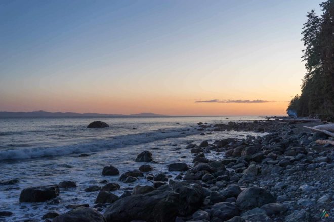
- Distance: 47 km
- Duration: 4 days
- Peak: 126 m
- Gain: 948 m
- Route: CalTopo
We were probably a little crazy to hike the Juan de Fuca Marine Trail on a long weekend in May. This trail is not as remote or untouched as other Vancouver Island coastal routes; however, it was still on our bucket list to complete together. Even though we got an early start, the drive out of Victoria on Friday afternoon was frustratingly slow. The China Beach Trailhead area spawned weekenders with coolers and heavily-loaded backpackers. The main parking lot was completely full, so we scrambled to snag a spot in the adjacent lot and get organized. A set of prescription insoles fractured, requiring surgery with athletic tape. The first few kilometres felt stiff and awkward. Our minds had trouble shaking the city and we weren’t “feeling the flow” as quickly as usual. Fortunately, the tension didn’t last forever. We pushed through the evening and felt refreshed after our first sleep on the trail. Over the long weekend, we opened and relaxed, finding many pockets of wilderness and solitude. We grew to appreciate and love the Juan de Fuca Trail as a special and accessible hiking experience. This coastal adventure is a Vancouver Island essential along with it’s wilder counterparts: the West Coast Trail, the North Coast Trail, and the Nootka Trail.
Day 1: China Beach Trailhead to Bear Beach
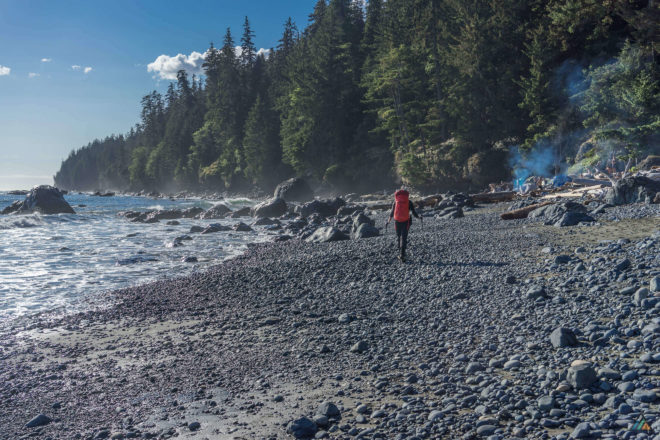
The section from the China Beach Trailhead (0 km) to Bear Beach is one of moderate difficulty. To complete the entire trail in four days, we utilized Friday by hiking to Bear Beach in the late afternoon. The section to Mystic Beach (2.2 km) was easy and relatively mud free. The biggest hazard was the air quality, as the smoke of many campfires billowed into the trees. Once leaving the crowds at Mystic, the trail bumped up and down creek gullies until one final descent to Bear Beach (8.2 km). We took a short break at Rosemond Creek to fill our water bottles for the evening. The first camp at Bear Beach was extremely busy. People who had already claimed prime spots looked upon us with a mix of triumph and pity. The tide was low enough for us to solve the first tide problem (8.7 km) and hike to the western sections of Bear Beach Camp. We dumped our packs in the fading light and checked out the second camp zone near Clinch Creek (9.6 km). It was busier than the first, so we set up just east of the fray on a tiny patch of beach rocks. The food cache was out of reasonable “walking-in-the-dark-and-disturbing-people” range so we did a bear hang. We guessed at the water mark and settled into our spot behind a large log. High tide was predicted at 0034h. Both of us woke at midnight to the sound of waves loud and close. At high tide, we exited the tent to watch a molten silver ocean swell and crash. The moon was 98% full and Mars glowed like a red ember just below. Once the clock changed to 0035h, we knew we were safe from floating away to Olympic National Park. We returned to bed on the turning tide.
Day 2: Bear Beach to Chin Beach
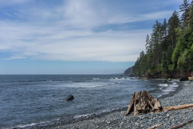
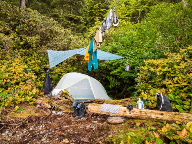
Our goal for the second day was to have fun, but also to get to the next camp early! The section from Bear Beach to Chin Beach is notorious for its roller coaster terrain. After passing through the third camp zone of Bear Beach near Ledingham Creek (10.5 km), we spent our day climbing up and down endless creek valleys. It was a great workout, and the trail was almost completely dry. There were excellent views of Juan de Fuca Strait on the high points. We took a break near one creek while a pack of trail runners raced through. The best wildlife of the day was hearing an eagle family in a tall tree near the ocean. After many hours on the trail, we were happy to arrive at the emergency cabin that marked the east entrance to Chin Beach. Our final descent brought us to a rock shelf and pebble beach. Despite the elevation changes, we made excellent time that day and were over-confident about camp. Surely, a premium spot awaited! As we hiked past the tide problem and into the Chin Beach Camp (21 km), we realized that a crowd was already well established. There were a couple of empty tent areas close to a pit toilet and food cache, but these did not appeal. We hiked on to the centre of the beach and excavated a spot on the rocks. After setting up early and feeling accomplished, we ate a snack of vegan cheese and crackers. The sun was warm, but there was a breeze to make us keep our jackets on. A few folks braved the ocean for a cold, splashy bird-bath. As the afternoon wore on, we were astounded to watch wave after wave of hikers invade the beach over the sandstone cliffs at the west end. Where would they go? The best sighting was a group of about twenty glum-looking boy scouts. All were headed for the same small campsite area. When it was time for dinner, we reluctantly visited the main camp to collect water. The scene was like Everest Basecamp minus the mountains, the yaks, and the altitude. Tents were pitched within inches of each other. Half-hearted bear hangs decorated the trees in reach of any creature taller than a chipmunk. Campfires smoldered. Cooking gear and clothing were piled all over the beach and in the forest. Even the two sorry tent sites near the pit toilets were crammed with unsmiling hikers scraping noodles out of pots. We hurriedly collected water from VERY high upstream, treated it, and rushed back to our tiny oasis on the rocks.
Day 3: Chin Beach to Little Kuitshe Creek
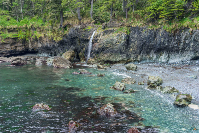
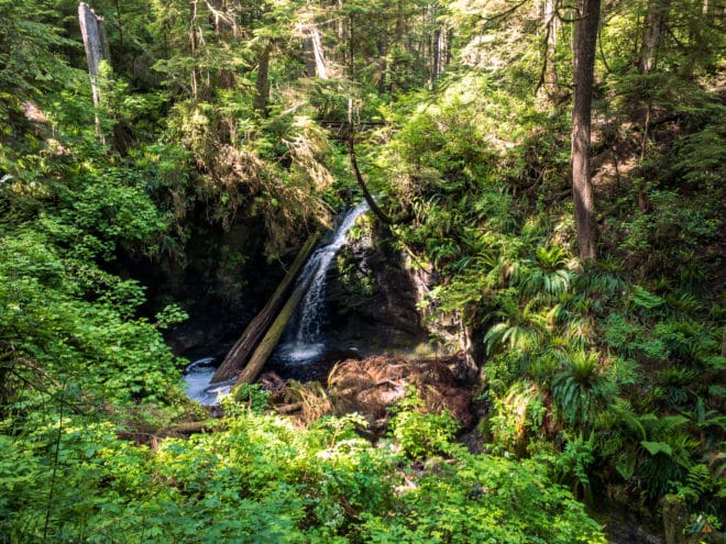
There were big climbs out of the gate once leaving Chin Beach. A bottle-neck of hikers climbing a headland gave us the chance to find the sea lion barking for his breakfast. Our reward for the long ascent from the Loss Creek suspension bridge (23.8 km) was a cruisey green section of flat road. Soon we reached a dry ridge that ultimately descended down to gorgeous Sombrio Point and beyond. As we took a break to photograph the waterfall, a trail runner slipped and fell hard on the slime-covered rocks. His body made a loud thud, but he insisted he was okay as he picked himself up and sped onward. I almost fell on my face while being careful; the rocks within waterfall view were like ice. We hiked on and finally dropped to the sand for a walk along the best beach of the trail (27 km). The east camping zone was the preferable space to camp. We took a snack break on this quiet stretch (28 km) while rain tried to break through the clouds. A conversation with a fellow revealed a secret camp spot at Little Kuitshe Creek. High tide was at 1439h, so we got moving to tackle the boulder field (29 km) and solve our last tide problem of the trip. The rest of the day involved gentle forest hiking and another beautiful suspension bridge at Minute Creek (32 km). Little Kuitshe Creek was an underwhelming campsite on arrival. We chose to stay because it split our last two days of hiking into even distances. The secret tent spot was available along the eastern beach access trail. We took our meal to the rocky shoreline and watched for whales. As the evening wore on, more and more people crowded into camp. Some folks pitched tents right on the main trail. Again, almost everyone had a fire, even though they are illegal in forest zones. The poor, thin, second-growth trees felt choked with smoke, crowds, and food smells. The undergrowth was barren and dusty. Happy and grateful to get the “balcony camp” with fresh air, we went to bed early and hit the trail while the dawn robins sang.
Day 4: Little Kuitshe Creek to Botanical Beach Trailhead
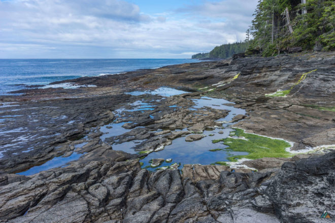
On our last day, we relished the fact that we didn’t have to beat crowds to a campsite. We took our time and enjoyed the easy flow of this section. There were lots of boardwalk sections and high bluffs to view the ocean. The Parkinson Creek Trailhead (37 km) was an open, flat area with an emergency campsite. Near this green place, we encountered our first hiker coming the opposite way. He remarked that he was glad to see us, because that meant that all the spider webs were clear from that point forward! Shoreline access gave us the chance to hike a massive tidal shelf for about one kilometre. Huge tide pools and surge channels punctuated the landscape. It was a wonderful break to hike freely along the ocean. We ate a hot lunch on the fascinating tilted rock that dominates the area. One of us (who shall remain nameless) spilled the freshly boiled lunch water down the uneven surface. Finally, the weathered sandstone layers of Botanical Beach (45 km) came into sight, and we took a moment to rest on a log. The tide was too high to enjoy the famous tide pools, plus we were out of water, so we didn’t stay too long. We climbed the last kilometre to the Botanical Beach Trailhead (47 km), excited to have achieved this goal together. After photos, we walked along the hot pavement to Port Renfrew for French fries and cold beverages. With thirsty brains, we realized halfway to town that we could remove our hot gaiters. The pub in Port Renfrew had a huge deck overlooking a tiny bay. Swallows and other birds swooped for bugs while we devoured salty food. After a walk along the pier, we met the West Coast Trail Shuttle for our ride back to the China Beach Trailhead. The car was there, lonely in the vast empty parking lot. A raven croaked in the trees above. Mission accomplished!
