Welcome to our Augerpoint Traverse Guide! This resource includes information and tips to help plan your adventure in Strathcona Provincial Park. To skip to a specific topic of interest, use the quick links below for easier navigation.
Table of contents
Highlights
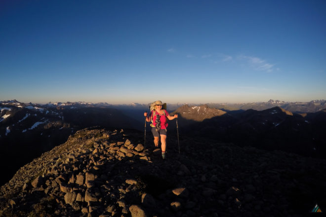
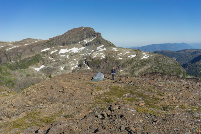
- Scenery. The Augerpoint Traverse accesses some of the best mountain scenery in Strathcona Provincial Park.
- Route-finding. Most of the Augerpoint Traverse follows an unmarked route versus an established trail. Wilderness navigation skills are required, enhancing the fun!
- Buttle Lake. Whether you start or finish at Buttle Lake, the views of the lake are impressive from Jack’s Trail. The surface water changes colour over the day.
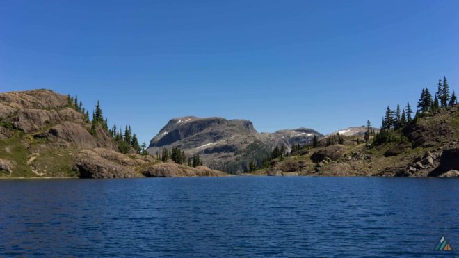
- Ruth Masters Lake. The best wilderness camp zone on the Augerpoint Traverse is at Ruth Masters Lake. A swim in this subalpine gemstone is refreshing on a hot day.
- Mount Albert Edward. This peak is the 6th highest on Vancouver Island at 2093 m. A non-technical approach rewards the hiker with expansive alpine views in all directions of Strathcona Park.
Overview
- Location: Central Vancouver Island, British Columbia, Canada
- Park: Strathcona Provincial Park
- First Nations: Mowachaht and Muchalaht people of the Nuu-chah-nulth First Nation
- Distance: 30 km (longer with extensions such as the Moat Lake Circuit)
- Duration: Typically completed in 4-5 days, depending on fitness and route plan
- Difficulty: Subalpine and alpine terrain (experienced backpackers only)
- Hiking Season: June – October. The Augerpoint Traverse route is typically snow-covered from late October/November until at least June, and sometimes July.
- Permit: Required June 15 to September 30 for camping in Backcountry Fee Collection Area (Forbidden Plateau). Affected campsites: Lake Helen Mackenzie, Kwai Lake, and Circlet Lake.
- Fees: $10 per person per night ($5 for children six to 15 years old). Collected from June 15 to September 30.
- Reservations: Required for Ambassador Transportation Shuttle
- Pets: Pets/domestic animals must be on a leash and under control at all times.
- Trailheads: Paradise Meadows, Jack’s Trail (Buttle Lake)
- Camping: Mix of designated campsites in Backcountry Fee Collection Area (water sources, food lockers, and pit toilets) and Leave-No-Trace wilderness camping. Random camping is not permitted within 1 km of main roads or in Backcountry Fee Collection Areas.
- Structures: Boardwalks, bridges (Paradise Meadows)
- Geologic features: Lakes, tarns, ponds, creeks, hills, plateaus, mountains, summits, cliffs, gullies, scree, ridges, valleys.
- Flora: Western red cedar, Douglas fir, grand fir, western hemlock, sub-alpine fir, mountain hemlock, creeping juniper, heather, lupine, monkey flowers, violets, Indian paintbrush, phlox, moss campion.
- Mammals: Roosevelt elk, wolf, coastal black-tailed deer, cougars, black bears, Vancouver Island marmot
- Birds: Gray jays, Stellar’s jays, ravens, varied thrush, American robins, hummingbirds, eagles, blue grouse, ruffled grouse, white-tailed ptarmigan, chestnut-backed chickadee, red-breasted nuthatch, pacific wren
- Weather: Heavy rain, snow, fog, freezing temperatures, high winds, hot sun
- Hazards: Topographical (rugged terrain, rockfalls, steep slopes, loose scree, landslides, dangerous drops, exposure); weather (bad visibility, lightening, rain, wind, hypothermia, sun burn, heat exhaustion); human (inappropriate gear, missing equipment)
- Emergency help: Cell phone service is not reliable in Strathcona Provincial Park. We carry a satellite messenger.
Map
We prefer British Columbia Geographic System (BCGS) 1:20,000 scale grid topographic maps. These maps are based on the most current Terrain Resource Information Mapping (TRIM) data available.
- MAP 092F063. Scale 1:20,000. Copyright 2016, Province of British Columbia.
- MAP 092F064. Scale 1:20,000. Copyright 2016, Province of British Columbia.
- MAP 092F074. Scale 1:20,000. Copyright 2016, Province of British Columbia.
Guide Book
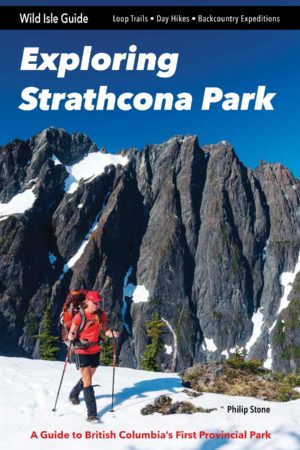
We refer to Philip Stone’s Exploring Strathcona Park guide book to plan hiking trips on the Augerpoint Traverse. We write pre-trip notes and carry digital scans of the relevant pages on our devices.
- Stone P. Exploring Strathcona Park: A Guide to British Columbia’s First Provincial Park. 1st ed. Wild Isle Publications. 2018. www.wildisle.ca
Permit
BC Parks charges each person $10 per night to camp in the Backcountry Fee Collection Area. Children from six to 15 years old are $5 per person per night. On the Augerpoint Traverse, the Forbidden Plateau Backcountry Fee Collection Area applies to the zone east of Mount Albert Edward. These overnight camping fees are only collected from June 15 to September 30. There are two ways to pay:
- Online. BC Parks Backcountry Registration System allows you to purchase a backcountry permit before leaving home. The system does not reserve a campsite, but eliminates the inconvenience of carrying cash.
- Cash. You can still pay the old fashioned way by depositing an exact amount of Canadian currency into self-registration envelopes at the trailheads.
Access
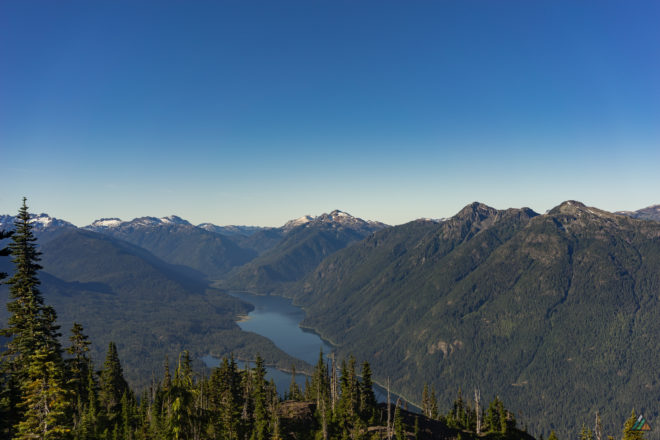
The Augerpoint Traverse is a thru-hike and has two trailheads: Paradise Meadows (east) Trailhead and Jack’s Trailhead (west). Vehicle logistics must be planned in advance. The drive between trailheads is approximately 125 km.
- Paradise Meadows Trailhead: The eastern access is at the Paradise Meadows parking lot of the Mount Washington ski resort. The latitude and longitude coordinate for the trailhead is 49.7451, -125.3195.
- Jack’s Trailhead: The western access is on Westmin Road (east shore of Buttle Lake). The latitude and longitude coordinate for the forest access is 49.6835, -125.5428. Look for a blue arrow painted on the road and flagging in the bushes.
Ambassador Transportation
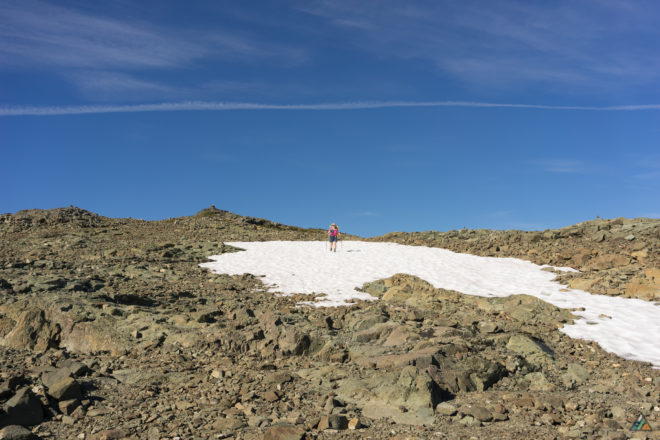
Ambassador Transportation provides shuttle service to hikers virtually anywhere on Vancouver Island. Trailhead shuttle transportation must be reserved in advance.
Base: Comox Valley
Website: ambassadortransportation.net
Phone: 1-877-339-5252
Email: gowithambassador@gmail.com
Accommodations
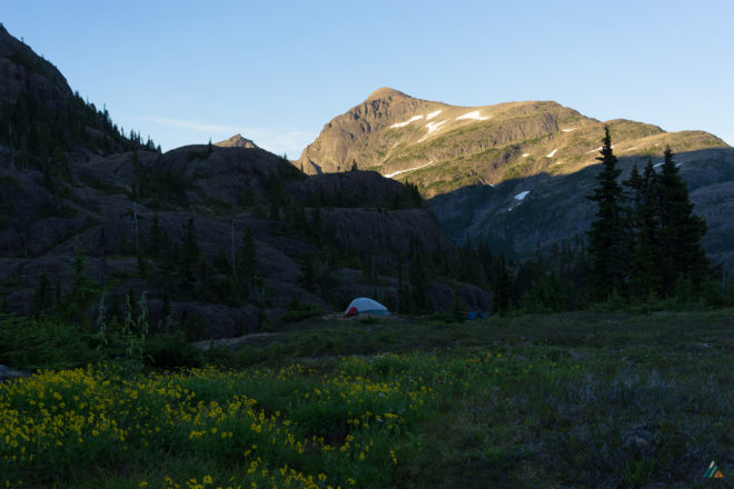
Mount Washington, Courtenay-Comox, and Buttle Lake are the staging areas for the Augerpoint Traverse. Where you stay depends on what trailhead you start from. Accommodations book up quickly in the high season. Reservations are recommended.
Strathcona Park Lodge
Website: strathconaparklodge.com
Phone: 1-250-286-3122
Contact Form
Ralph River Campground
Website: BC Parks
Make a reservation online
Slopeside Accommodations at Mount Washington
Bear Lodge and Deer Lodge
Website: www.mountwashington.ca
Phone: 1-250-338-4383
Email: slopeside@mountwashington.ca
Vancouver Island Mountain Centre
Camping or Dorm Style Accommodations
Website: www.vimountaincentre.com
Phone: 250-331-9355
Email: info@vimountaincentre.com
Courtenay-Comox Accommodations
Hello BC
Weather
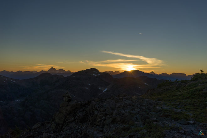
We study the weather before our trip using a few different resources. On trip we access weather updates with a satellite messenger. You will be hiking in an exposed alpine environment. Be prepared for all kinds of weather!
Route
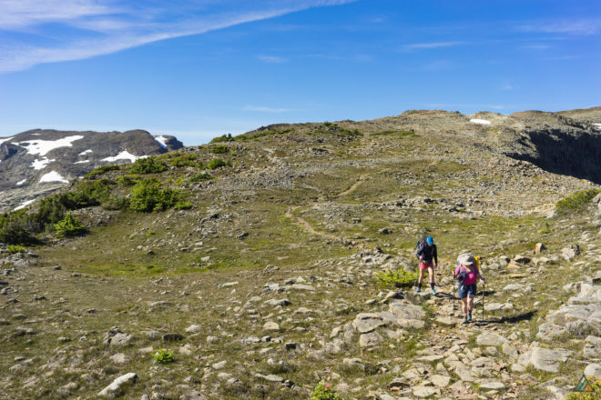
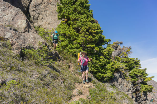
The Augerpoint Traverse is a challenging alpine backpacking experience. The rugged mountain terrain includes: steep slopes, logs, blowdowns, roots, mud, deep sand, talus, boulders, scree, creeks, tarns, frost, ice, and seasonal snow.
Wilderness navigation skills and tools (topographical map, analogue compass, GPS) are essential to safely complete the traverse. Trails are marked near the trailheads, but they eventually disappear. You must be able to find the route.
We have hiked the Augerpoint Traverse in both directions. The decision to hike westbound or eastbound depends on personal preference.
Westbound (Paradise Meadows to Buttle Lake)
- Begins in a busy semi-urban zone
- Hike starts higher at 1090 m (Paradise Meadows)
- Large parking lot to leave your vehicle
- Nice warm-up cruise through Paradise Meadows at the beginning
- Knee-knackering descent down Jack’s Trail at the end
Eastbound (Buttle Lake to Paradise Meadows)
- Begins in a quiet wilderness zone
- Hike starts lower at 260 m (Buttle Lake)
- Limited roadside parking
- Burning big climb up Jack’s Trail at the beginning
- Nice cruise through Paradise Meadows at the end
Check Activities Available at this Park / Hiking for current trail conditions.
Campsites
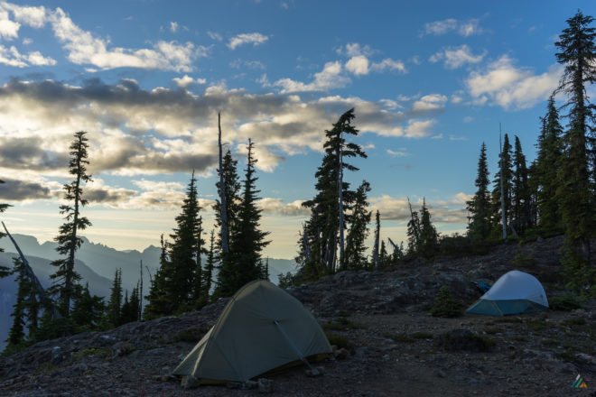
The Augerpoint Traverse includes a mix of designated campsites in the Backcountry Fee Collection Area (water sources, food lockers, and pit toilets) and Leave-No-Trace wilderness camping. Random camping is not permitted within 1 km of main roads or in Backcountry Fee Collection Areas.
Jack’s Ridge
The usual camp zone after the climb up Jack’s Trail, or prior to the descent, is the flat area once you break the ridge. The sunset views of Mount McBride, Marble Peak, the Golden Hinde, Mount Phillips, and Mount Myra are fantastic! There are several tarns here for water, and durable surfaces to pitch tents.
Ruth Masters Lake
The jewel campsite of the Augerpoint Traverse is beautiful Ruth Masters Lake. There are several places to pitch your tent. We set up on a bump overlooking the lake next to a large tarn, but there are many possible spots. The mosquitos here are ferocious but the swimming was excellent. Put on your bug glasses!
Mount Albert Edward
On the Augerpoint Traverse, the Forbidden Plateau Backcountry Fee Collection Area (PDF, 108 KB) applies to the zone east of Mount Albert Edward. We find the south west ridge offers good camping possibilities, with tarns and durable surfaces.
Circlet Lake
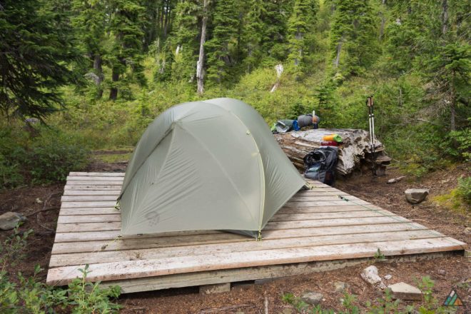
Circlet Lake Camp is in the Forbidden Plateau Backcountry Fee Collection Area (PDF, 108 KB). It is also called “Circus” Lake for reasons that are obvious if you have been there. It’s crowded on hot summer weekends because it’s 10 km from the Paradise Meadows Trailhead. Campers bring tons of gear and settle in. The camp is on the classic Augerpoint Traverse route, so hikers typically stay here their first or last night, depending on direction. The food lockers are bulging food and the pit toilet has lineups. Garbage can be a problem. We recommend starting your hike early if you want to camp at Circlet. This plan gives you the best chance to snag a choice tent platform. There is nothing wrong with the Circlet scene, just don’t expect that “pristine wilderness feeling” in the high season. It’s a gong show. Expect it. Accept it.
Kwai Lake
Kwai Lake Camp is also in the Forbidden Plateau Backcountry Fee Collection Area (PDF, 108 KB). It’s about 4.4 km from Circlet Lake Camp and would extend your Augerpoint Traverse total distance if you chose to camp here. Kwai would likely be busy in the summer too, and there are less tent platforms than at Circlet (15 Kwai versus 20 Circlet). There is also no swimming allowed at Kwai Lake as this is the water source for the area. This camp has a quieter, more wilderness feel with excellent views of Mariwood Lake and Cruickshank Canyon.
Lake Helen McKenzie
Lake Helen McKenzie Camp is the third camp in the Forbidden Plateau Backcountry Fee Collection Area (PDF, 108 KB). Located about 3 km from the Paradise Meadows Trailhead, this camp offers 10 tent pads, food lockers, pit toilets, and a beautiful swimming lake. Due to it’s proximity to the trailhead, this camp is not typically used on the Augerpoint Traverse. However, if you have a flexible itinerary and want an extra night to swim and relax, this camp provides that option. Lake Helen Mackenzie is popular with day-hikers and picnickers.
Here are some tips to enhance your camping experience:
- All fresh water should be treated before consumption.
- Rehydrate fully at camp. Water sources may be sparse during dry summers.
- Get to Circlet Lake early.
Trip Reports
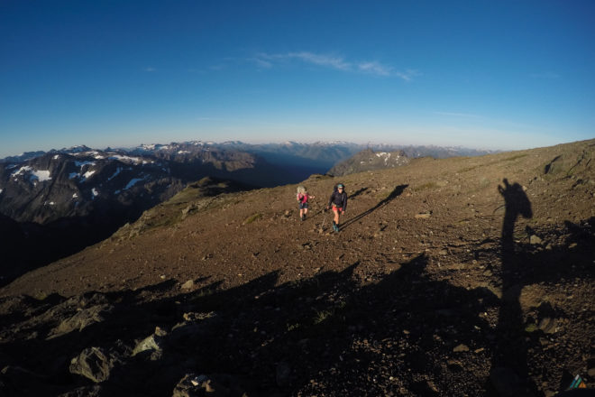
- Paradise Meadows to Buttle Lake – August 15-19, 2017
- Buttle Lake to Paradise Meadows – August 15-18, 2016
- Paradise Meadows to Buttle Lake – July 28-31, 2015
Paradise Meadows to Buttle Lake – August 15-19, 2017
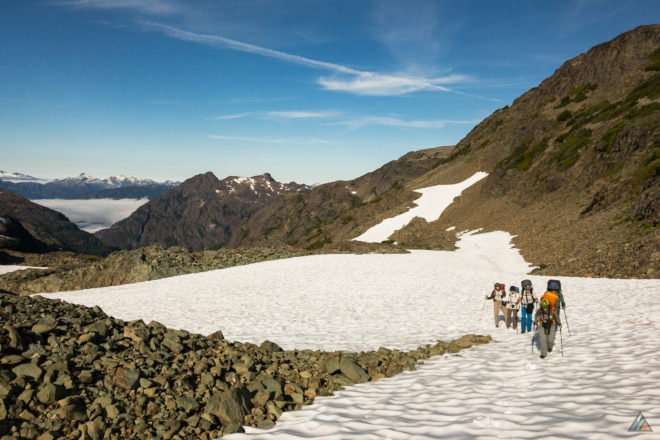
- Distance: 35 km
- Duration: 5 days
- Peak: 2093 m
- Ascent: 2379 m
- Descent: 3234 m
- Route: CalTopo
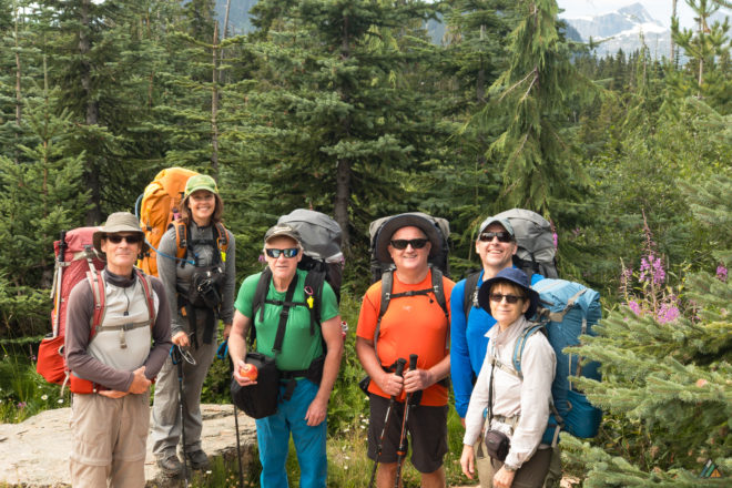
Our Augerpoint Traverse team was keen and well-prepared! We chose to hike the westbound direction for several reasons. It was simpler logistically for the group to meet at the Paradise Meadows Trailhead. Our exclusive night on Stuart Wood Island was better suited to a mid-week stay versus a weekend. Also, the group preferred the idea of hiking down Jack’s Trail at the end instead of hiking up at the beginning. Backpacking adventures in Strathcona Provincial Park allow for this kind of trip customization. We had some interesting weather challenges along the way. These events provided lots of opportunities for learning!
Day 1: Paradise Meadows to Stuart Wood Island
- Distance: 11.5 km
- Duration: 6 h 36 min
- Peak: 1272 m
- Ascent: 459 m
- Descent: 370 m
The team completed our pre-trip meeting at the convenient Strathcona Wilderness Centre picnic table. Group gear and food was distributed. We had perfect weather for our late afternoon departure. There were lots of day hikers along the trail to Lake Helen Mackenzie. A couple of backpackers were hiking to Circlet Lake Camp. We camped our first night on Stuart Wood Island in Moat Lake with permission from Jamie Wood, relative of Clinton Stuart Wood, a prominent figure in Forbidden Plateau history. We were in the perfect position for tomorrow’s alpine objectives.
Weather observations: 1100 h, Trailhead, 1090 m, broken clouds, nil precipitation, 17 ºC, calm, 1019 hPa. 1510 h, Cabin, 1220 m, broken clouds, nil precipitation, 19 ºC, calm, 1020 hPa.
Day 2: Stuart Wood Island to Mount Albert Edward
- Distance: 7 km
- Duration: 9 h 10 min
- Peak: 1946 m
- Ascent: 946 m
- Descent: 291 m
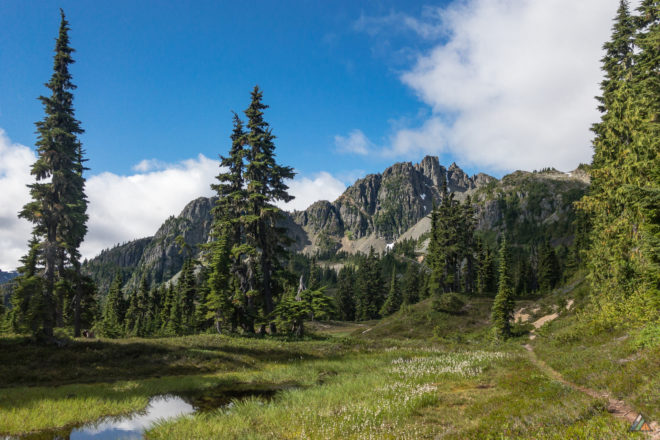
Our primary objectives on Day 2 were Castlecrag Mountain, Mount Frink, and Mount Albert Edward. This Moat Lake Circuit extension was an add-on to the traditional Augerpoint Traverse route. The challenging boulder field section required careful steps. The weather started with partial clouds and blue sky, yet fog ultimately obscured our views. We decided not to summit Castlecrag, and made our way to Frink’s summit (1948 m). After a long day on the circuit, we realized our daylight was running out. It was not safe to push for the summit of Mount Albert Edward. We opted to set up camp in the Frink-Albert Edward col on a durable surface. Our bivouac had a decent water source and we were happy to spend the night recovering.
Weather observations: 0600 h, Camp, 1180 m, overcast, nil precipitation, 12 ºC, calm, 1021 hPa. 1607 h, Frink, 1948 m, obscured, nil precipitation, 14 ºC, light NW, 1020 hPa.
Day 3: Mount Albert Edward to Ruth Masters Lake
- Distance: 6.9 km
- Duration: 7 h 52 min
- Peak: 2093 m
- Ascent: 477 m
- Descent: 877 m
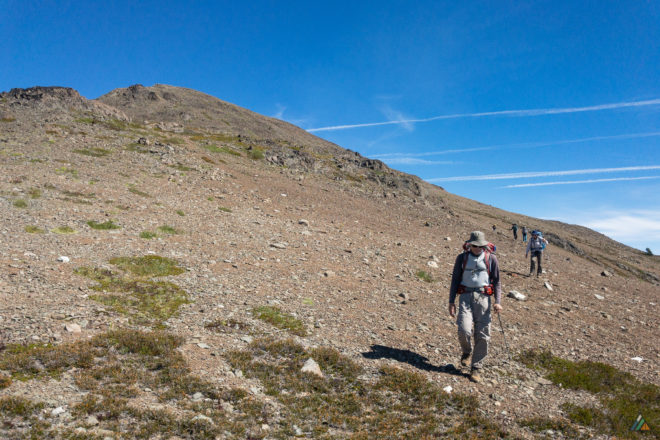
Today our team achieved the Mount Albert Edward summit! We dropped our packs at about 1900 m and enjoyed a lightweight approach to the top. A small flock of birds joined us to celebrate! After appreciating this famous island vista, we descended along the south west ridge. The team continued through puzzle-like micro-terrain, practicing our route-finding techniques. We arrived at Ruth Masters Lake in late afternoon and set up tents at one of the primitive rock shore camps. An American dipper watched for prey in the outflow zone. Ruth Masters, the iconic Vancouver Island activist, passed away on November 7, 2017 at the age of 97.
Weather observations: 0600 h, Camp, 1800 m, few clouds, nil precipitation, 10 ºC, light NW, 1022 hPa. 1225 h, SW Albert Edward, 1785 m, few clouds, nil precipitation, 15 ºC, light NW, 1020 hPa.
Day 4: Ruth Masters Lake to Jack’s Trail
- Distance: 5.9 km
- Duration: 4 h 56 min
- Peak: 1747 m
- Ascent: 486 m
- Descent: 512 m
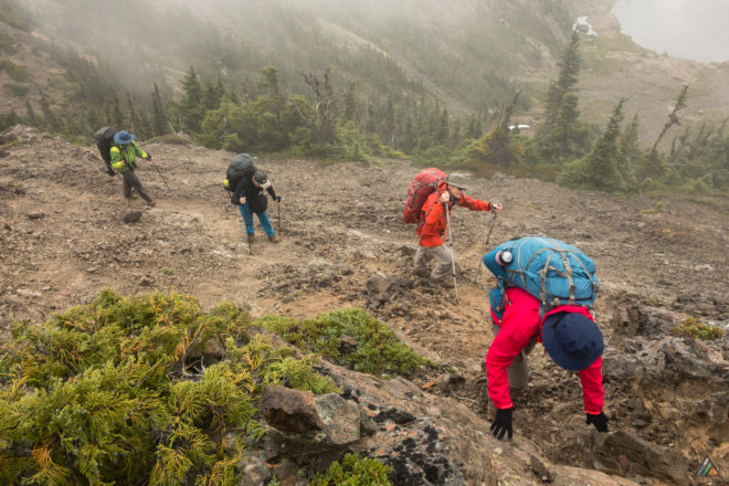
We departed Ruth Masters Lake in the cool morning fog. Hiking up and out of this zone is often easier than hiking down from the Augerpoint Mountain col. Whiteout conditions allowed for challenging wilderness navigation lessons. We had fun exploring the interconnecting ramps and micro-terrain. Jack’s Camp (1420 m) had lots of water and plenty of tent sites on durable surfaces. This ridge is known for it’s wonderful views of many Strathcona Park peaks.
Weather observations: 0600 h, Camp, 1430 m, obscured, nil precipitation, 12 ºC, light SW, 1019 hPa. 1315 h, Camp, 1420 m, broken clouds, nil precipitation, 15 ºC, light SW, 1020 hPa.
Day 5: Jack’s Trail to Buttle Lake
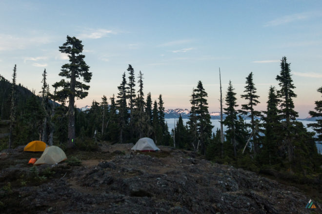
- Distance: 3.7 km
- Duration: 3 h 50 min
- Peak: 1410 m
- Ascent: 11 m
- Descent: 1184 m
The team made good time descending Jack’s Trail. We had a refreshing break near the pond at 834 m. Notable flora sightings included a variety of mycotrophic plants, Indian pipe (ghost pipe) and sugar-stick (barber’s pole). Unlike most plants, these beautiful organisms lack chlorophyll. They get their nutrition from surrounding green plants or trees. Since they are not dependent on photosynthesis, they can grow in dark areas of the forest. We took our final break at the 512 m Buttle Lake overlook. Our knees survived the hike down and we were glad to see Ambassador Transportation right on time. The driver was happy to stop for cold pop and snacks at the Strathcona Park Lodge. We reminisced about our epic trip during the two-hour scenic drive back to Paradise Meadows!
Weather observations: 0600 h, Camp, 1420 m, clear, nil precipitation, 5 ºC, calm, 1020 hPa. 1240 h, Viewpoint, 512 m, clear, nil precipitation, 15 ºC, light SW, 1021 hPa.
Buttle Lake to Paradise Meadows – August 15-18, 2016
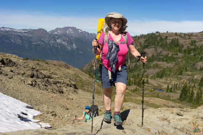
- Duration: 4 days
- Peak: 2093 m
- Ascent: 2803 m
- Descent: 2003 m
- Route: CalTopo
Day 1: Jack’s Trailhead to Jack’s Ridge
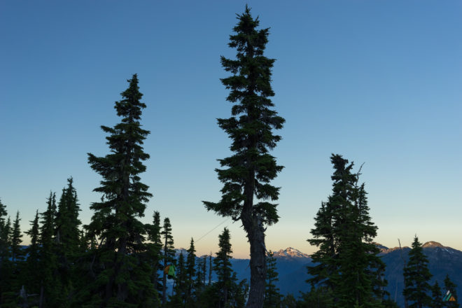
- Distance: 3.7 km
- Duration: 6 h 37 min
- Peak: 1406 m
- Ascent: 1141 m
- Descent: 5 m
Our expedition team was small, but determined! We were excited to show our guest from Vancouver one of the best hikes in Strathcona Park. Our group opted for the eastbound direction and started hiking up Jack’s Trail at 1100 h.
The temperature rose, so we paced ourselves and stopped at regular intervals for water and rest. The shade offered cool breezes, while the open zones were hot. We disturbed a dusty nest of wasps in the middle of the trail half-way up. The angry insects followed for several metres, stinging one of us before retreating to their dishevelled burrow.
We gained the camp ridge at 1800 h and had the entire area to ourselves. The tarns were full, the creek was trickling, and there were several durable surfaces to pitch tents. Our group agreed that the steep initial ascent was worth the effort, as opposed to descending the trail at the end. The sunset views at 1400 m elevation were our final reward for the day.
Weather observations: 1450 h, Pond, 845 m, clear, no precipitation, 25 ºC, wind calm, 102.3 kPa. 2100 h, Camp, 1405 m, few clouds, no precipitation, 18 ºC, wind calm, 102.3 kPa.
Day 2: Jack’s Ridge to Ruth Masters Lake
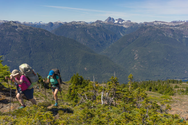
- Distance: 6.0 km
- Duration: 7 h 48 min
- Peak: 1736 m
- Ascent: 520 m
- Descent: 489 m
We departed Jack’s Trail Camp at 0813 h to get a head start on the heat. Our team spent a fine morning bumping up and down a maze of subalpine ridges. The weather was hot and dry again, so we took frequent shade breaks and drank lots of water.
The most difficult obstacle of the day was the descent from the Augerpoint saddle to Ruth Masters Lake. The terrain was dusty and loose, and the slope was steep. This “crux” would be more easily hiked as an ascent in the opposite direction, which is something to consider when choosing westbound or eastbound. We arrived at the lake shore at 1536 h and took some photos.
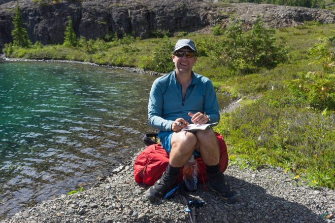
Camp was on a nice bump above the south east shore of Ruth Masters Lake. A man and his son were situated across the main creek outlet with a dog. We went for a pre-dinner swim to wash off the dust and escape the gathering cloud of mosquitos. There was no wildlife spotted on the land, just raptors and ravens overhead.
Weather observations: 0530 h, Camp, 1405 m, clear, nil precipitation, 10 ºC, wind calm, 102.2 kPa. 1120 h, Tarn, 1486 m, clear, nil precipitation, 17 ºC, wind calm, 102.3 kPa.
Day 3: Ruth Masters Lake to Mount Albert Edward
- Distance: 3.3 km
- Duration: 6 h 21 min
- Peak: 1793 m
- Ascent: 586 m
- Descent: 249 m
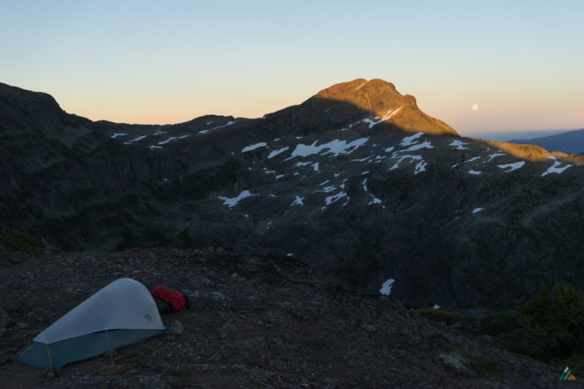
Our team enjoyed a civilized departure at 0820 h on a cool, clear morning. It felt sad to leave Ruth Masters Lake, but the alpine zone of Mount Albert Edward beckoned. We hiked the subalpine maze, eventually arriving at the Augerpoint-Mount Albert Edward saddle. Our group descended down a gully for a water break, which gave us time to notice wildflowers.
We arrived at a potential camp on the southwest ridge of Mount Albert Edward and discussed our objectives. The options were to continue hiking to the Mount Albert Edward summit (and camp beyond) or stay on the ridge and gain the summit early next morning. We decided to stay. There were two good tarns and several durable tent spots. The afternoon was sticky and hot. Nobody wanted to continue hiking in the sun. This discussion was a good example of how we sometimes tweak route plans on-trip…taking into account energy levels of the group, weather, terrain, and objectives.
As we rested before dinner, a second group arrived at camp from the opposite direction. We recognized some of these folks from an online Vancouver Island hiking community…nice to meet face-to-face at last! Eventually it was mosquito-o’clock…and everyone retreated to their tents for an early night.
Weather observations: 0700 h, Camp, 1445 m, clear, nil precipitation, 9 ºC, wind calm, 102.3 kPa. 2000 h, Camp, 1790 m, clear, nil precipitation, 17 ºC, wind light NW, 102.4 kPa.
Day 4: Mount Albert Edward to Paradise Meadows Trailhead
- Distance: 17.0 km
- Duration: 11 h 31 min
- Peak: 2093 m
- Ascent: 556 m
- Descent: 1260 m
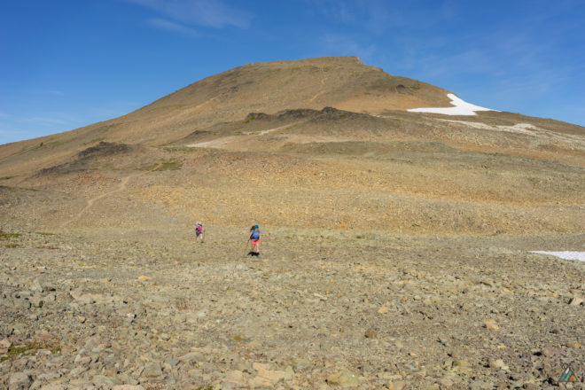
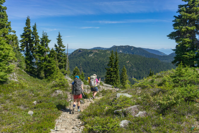
We had a long-distance day ahead! Our team rose at 0400h and hit the trail at 0605 h. After a nice ascent in the rising sunshine, we reached the intersection of the southwest route down Mount Albert Edward. We dropped the packs, and hiked to the summit at 0750 h. The view was spectacular, but there were no gentle white-tailed ptarmigan to greet us this time.
The descent was steady and enjoyable, but we were exposed. The solar radiation beat down hard so we kept a steady pace towards the shade trees. By the time we arrived at Circlet Junction at 1349 h, we were melting. We bypassed Circlet Lake and continued along the well-worn trails to Paradise Meadows. Some of us poured water over our heads at the water breaks.
The forest provided welcome shade and cool breezes. We didn’t have time for a swim in Lake Helen Mackenzie, but the water looked excellent. It was “horse-to-barn” over those final kilometres of well-worn Paradise Meadows trails. Finally at the trailhead, we looked back to the summit of Mount Albert Edward, amazed that we stood there that morning. What a fantastic trip! Perfect weather, excellent team, great adventure.
Weather observations: 0600 h, Camp, 1790 m, clear, no precip, 16 ºC, wind light NW, 102.4 kPa.
Paradise Meadows to Buttle Lake – July 28-31, 2015
- Distance: 30.7 km
- Duration: 4 days
- Peak: 2093 m
- Ascent: 2019 m
- Descent: 2875 m
- Route: CalTopo
Day 1: Paradise Meadows Trailhead to Circlet Lake
- Distance: 10.2 km
- Duration: 4 h 45 min
- Peak: 1272 m
- Ascent: 400 m
- Descent: 292 m
Our first sunny day was all about getting to Circlet Lake along the boardwalks and undulating subalpine single-track. The heavily rooted section west of Lake Helen Mackenzie was dry and happily mud-free. Passing pretty tarns and scrubby vegetation, my guests slowly relaxed into the natural elements of the hike. The Paradise Meadows-Forbidden Plateau trails were busy with day-hikers and backpackers. Despite being passed by folks anxious to get a spot, we took our time and claimed the last two tent pads at Circlet Lake (10.5 km/1200 m). Victory was ours! As daylight fell, people kept pouring into camp with headlamps and hope. Food lockers bulged with shopping bags and the washroom lineups were inexplicably long. With our team organized and out of the fray, there was time to swim, share tent set-up tips, and cook a hearty dinner. Another environmental bonus…no bugs!
Day 2: Circlet Lake to Mount Albert Edward
- Distance: 8.9 km
- Duration: 9 h 20 min
- Peak: 2093 m
- Ascent: 922 m
- Descent: 626 m
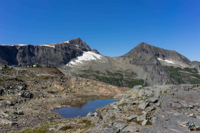
We began the day with a hike up to the summit of Mount Albert Edward (17.1 km/2093 m). This Vancouver Island peak is a local favourite with its non-technical access and spectacular views. The day was hot and dry, so we loaded with water before the ascent. My guests climbed strong, stopping often to look back and take in the vistas. They loved the open alpine terrain…being up high. On the final approach to the top of Mount Albert Edward, we explored the last remnants of a disappearing snowfield. A croaking raven joined us at the summit to take in the scene. Descending off the ridge ignited the wilderness part of the traverse, as the sights of human civilization were finally gone. We practiced terrain management and route-finding along this section. A soloist moving eastward said he was headed to Ruth Masters Lake but got stuck in some cliff bands and had to retrace his steps. We carry a GPS to record our track, but always use compass and maps for navigation and skills teaching. Our goal was Ruth Masters Lake too, but the heat of the day won our energy. Instead we camped near some tarns (19 km/1503 m) with views of Castlecrag, Mount Frink, and Augerpoint Mountain. The evening activities included resting, rehydrating, enjoying Thai peanut noodles, and preparing a food hang to outsmart our bear friends. Feeling the adventure!
Day 3: Mount Albert Edward to Ruth Masters Lake
- Distance: 2.5 km
- Duration: 3 h 32 min
- Peak: 1496 m
- Ascent: 237 m
- Descent: 292 m
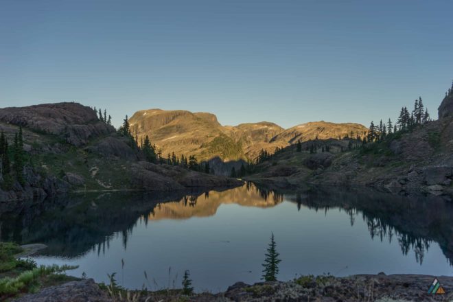
Today’s distance was short, but the relentless sun and tricky terrain gave us challenge. As we dropped down into the col, the route-finding got more interesting. When our group encountered steeper bluffs and bushes, we shared obstacle information to help each other. Sometimes we had to drop down “steps” by taking off our backpacks and lowering them to waiting hands. Hydration breaks were frequent as the heat drained us once again; however, a little waterfall gave a refreshing shower on final approach. It was a day of working together to achieve our reward…Ruth Masters Lake (23 km/1439 m)! There was talk of summiting Augerpoint Mountain after organizing camp, but the group decided to swim instead. Our team would hike up Augerpoint the next morning in softer sun and cooler air. A couple of ACC folks were enjoying the lake, as well as a family of ducks. I prepared an eagerly anticipated green curry dish for supper. My folks kept asking me for “more heat…more heat!” In my excitement, I forgot to add the cooling coconut milk powder. The day was hot…but supper was hotter! Our bodies were certainly fired up for our final hike out.
Day 4: Ruth Masters Lake to Jack’s Trailhead
- Distance: 9.1 km
- Duration: 12 h 3 min
- Peak: 1747 m
- Ascent: 460 m
- Descent: 1665 m
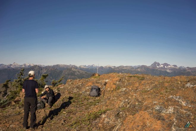
Hikers start at 0600 h! The boys left their packs at the col (24 km/1641 m) and scrambled up to the summit of Augerpoint Mountain (24.5 km/1839 m). We looked back and saw all our completed kilometres, and how far we needed to go today. After returning to the col for our gear, we hiked west up the ridge for excellent open walking and views of Shark Lake. Soon switchbacks and heat slowed us down, so I used my satellite phone to reschedule shuttle pick up and dinner reservations. Water was a problem after Ruth Masters Lake, but we managed to find some tarns. There were excellent bear tracks in the mud at one of them, but we didn’t see the owner. In time, we came to the top of Jack’s Trail (30 km/1420 m)…that famous knee-knackering route to Buttle Lake…beloved by all devoted Strathcona hikers. Even though the descent was dusty and steep, the views of Buttle Lake were stunning. We welcomed the cool shade of the forest. Eventually, thankfully, we spied our shuttle van through the trees (34 km/260 m). My family was extremely happy with their shared accomplishment. Everyone got to dinner on time…including me! Strathcona Park Lodge was still serving vegan plates and cold beer on the deck. A great end to a Strathcona classic.
