Welcome to our North Coast Trail Guide! This resource includes information and tips to help plan your adventure in Cape Scott Provincial Park. To skip to a specific topic of interest, use the quick links below for easier navigation.
Table of contents
- Highlights
- Overview
- Map
- Guide Book
- Permit
- Access
- Cape Scott Water Taxi
- North Coast Trail Shuttle
- Accommodations
- Weather
- Tides
- Route
- Campsites
- Trip Reports
- Shushartie Bay to Fisherman Bay – June 24-26, 2024
- Shushartie Bay to Fisherman Bay – June 27 – July 1, 2022
- Shushartie Bay to Fisherman Bay – May 30-June 5, 2021
- Shushartie Bay to Fisherman Bay – August 16-22, 2020
- Shushartie Bay to Cape Scott Parking Lot – August 11–17, 2019
- Shushartie Bay to Cape Scott Parking Lot – July 13-20, 2019
- Cape Scott Parking Lot to Shushartie Bay – June 8-15, 2019
- Shushartie Bay to Cape Scott Parking Lot – July 22-28, 2018
- Cape Sutil to Cape Scott Parking Lot – May 27-31, 2016
- Nahwitti River to Cape Scott Parking Lot – July 19-25, 2015
Highlights
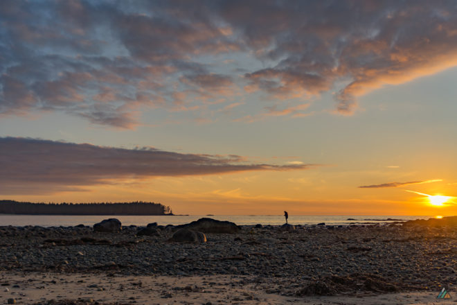
- Remote wilderness. Fewer people hike the North Coast Trail than the world-famous West Coast Trail. The rewards of this lesser-known trip are more feelings of solitude and abundant wildlife viewing opportunities.
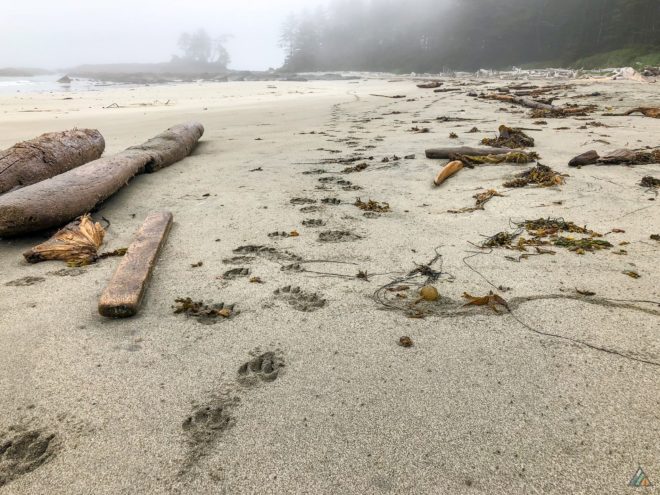
- Wolves and whales. We’ve seen so many whales close to shore that we lost count. Grey wolves live here too; you will notice tracks on low tide mornings. Chances are good that you will see a wolf or a bear foraging on the beach.
- Old growth forest and upland bogs. There are some really big old trees in this park, including Sitka spruce and Western Red Cedar over 3 metres in diameter. Boardwalks protect the sensitive ecosystems that hikers encounter along the way.
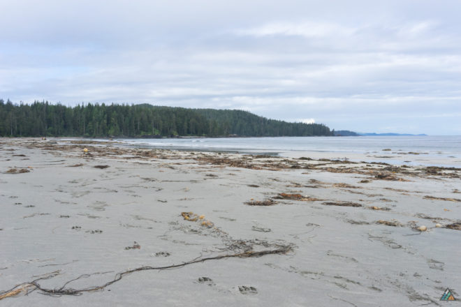
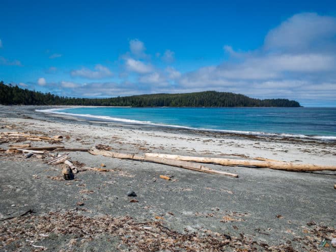
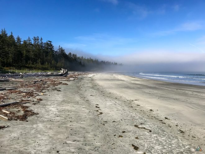
- Stunning bights and beaches. The North Coast Trail has several magnificent bights (large curved beaches). They are reminiscent of Long Beach in Pacific Rim National Park Reserve. These sandy stretches make for glorious hiking and camping. The whales love to come in close on high tide.
- First Nations and Danish settlers. Cape Scott Provincial Park has a fascinating history. First Nations people have called this area home for thousands of years. More recently, Europeans attempted to settle in the area by farming the land. Poor weather and broken promises by the government to build a road made for a tough life. After two failed attempts, they left for good. Artifacts of that era are scattered throughout the park.
Overview
- Location: North Coast of Vancouver Island, British Columbia, Canada
- Park: Cape Scott Provincial Park
- First Nations: Tlatlasikwala, Nakumgilisala, Yutlinuk
- Distance: The official North Coast Trail is 43.1 km (Shushartie Bay to Nissen Bight). It is an additional 1.5 km to exit at Fisherman Bay, or 16 km to exit on the Cape Scott Trail to Cape Scott Parking Lot.
- Duration: Typically completed in 5-8 days, depending on fitness and route plan
- Difficulty: Complex coastal and rainforest terrain (experienced backpackers only)
- Open: Year-round
- Permit: Required May 1 to September 30
- Fees: $10 per person per night ($5 for children six to 15 years old). Collected from May 1 to September 30 only.
- Reservations: Required for Cape Scott Water Taxi and North Coast Trail Shuttle
- Pets: Prohibited
- Trailheads: Shushartie Bay, Nahwitti River, Cape Sutil, Fisherman Bay, Cape Scott Parking Lot
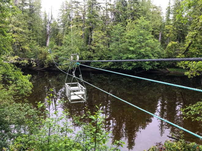
- Cable car crossings: Two rivers (Nahwitti, Stranby)
- Camping: Seven designated sites (water sources, food lockers, and pit toilets)
- Structures: Cable cars, boardwalks, ropes, bridges, stairs
- Geologic features: Rocky headlands, sea stacks, sea caves, tombolos, blowhole
- Wildlife: Gray whales, humpback whales, orcas, seals, sea lions, black bears, wolves, cougars, eagles, ravens, sea birds, river otters, slugs, intertidal animals
- Weather: Heavy rain, cool temperatures, high winds, damp fog, hot sun
- Hazards: Slippery roots, deep mud, steep slopes, washouts, blowdowns, fallen logs, tide problems, deep sand, pebbles, boulders, rocky shorelines, impassible headlands, creek crossings, tidal rivers, tsunamis, rouge waves, floods, landslides, broken structures
- Emergency help: There is no cell phone service in Cape Scott Provincial Park (we carry a satellite messenger). The Cape Scott Lighthouse can provide emergency assistance.
Map
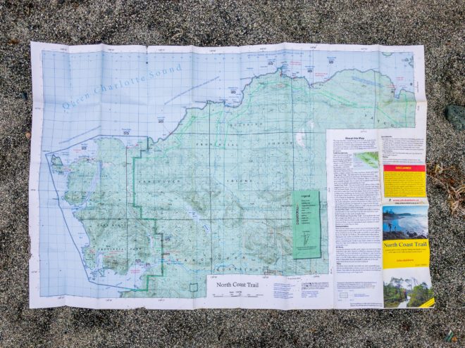
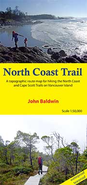
Our favourite paper map for navigation is John Baldwin’s North Coast Trail 1:50,000. He has done a great job annotating this water-resistant map with North Coast Trail highlights including terrain features, campsites, and even whales!
In 2024, Philip Stone at Wild Isle Publications acquired John Baldwin’s coastal map publishing business and an updated version is forthcoming.
- Baldwin J. North Coast Trail: A topographic route map for hiking the North Coast and Cape Scott Trails on Vancouver Island. Scale 1:50,000. John Baldwin. 2013. www.wildisle.ca
Guide Book
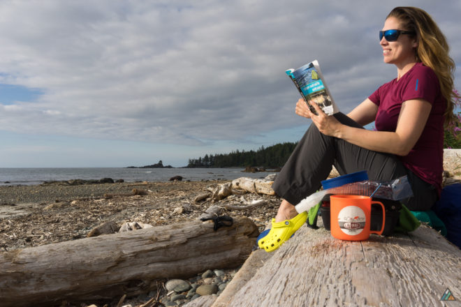
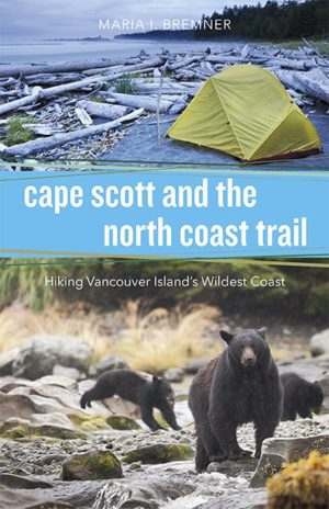
We use four guidebooks to plan hiking trips on the North Coast Trail. Our favourite is Maria Bremner’s Cape Scott and the North Coast Trail: Hiking Vancouver Island’s Wildest Coast. Her descriptions of each section are meticulous. The fascinating history of the area is well-researched. We download a digital version to our devices for reference while on the trail.
- Bremner M. Cape Scott and the North Coast Trail: Hiking Vancouver Island’s Wildest Coast. Harbour Publishing. 2015. www.capescottandthenorthcoasttrail.com
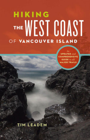
- Leadem T. Hiking the West Coast of Vancouver Island: An updated and comprehensive guide to all major trails. Greystone Books. 2015. www.greystonebooks.com
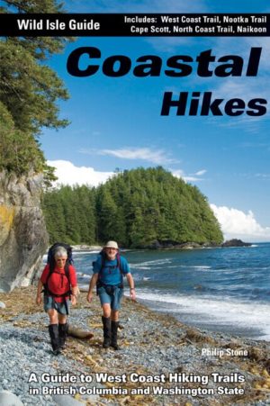
- Stone P. Coastal Hikes: A Guide to West Coast Hiking in British Columbia and Washington State. 1st ed. Wild Isle Publications. 2007. www.wildisle.ca
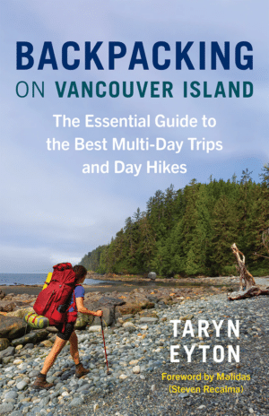
- Eyton T. Backpacking on Vancouver Island: The Essential Guide to the Best Multi-Day Trips and Day Hikes. Greystone Books. 2024. www.greystonebooks.com
Permit
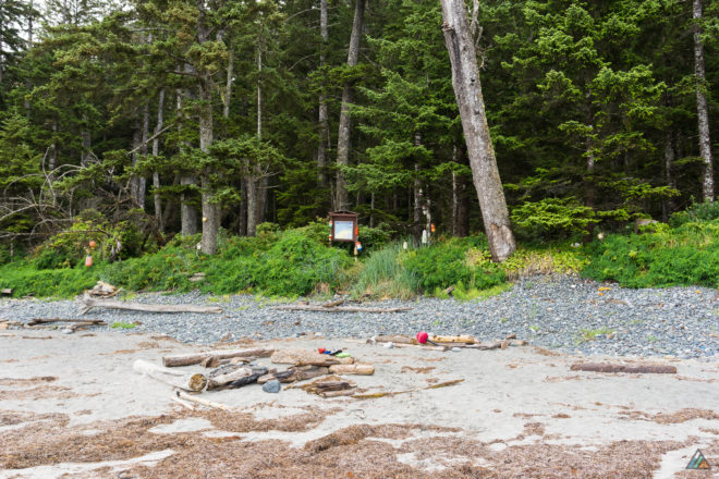
BC Parks charges each person $10 per night to hike the North Coast Trail. Children from six to 15 years old are $5 per person per night. These overnight camping fees are only collected from May 1 to September 30 when backcountry services are provided. There are three ways to pay:
- Online. BC Parks Backcountry Registration System allows you to purchase a backcountry permit before leaving home. The system does not reserve a campsite, but eliminates the inconvenience of carrying cash.
- Cash. You can still pay the old fashioned way by depositing an exact amount of Canadian currency into self-registration envelopes at the trailheads.
- Cape Scott Water Taxi – North Coast Trail Shuttle. If you are using this service provider to access either trailhead, you can pay your permit fees at their office.
Access
The North Coast Trail has two official trailheads: Shushartie Bay and Cape Scott Trailhead.
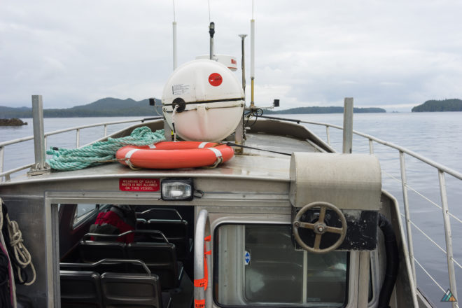
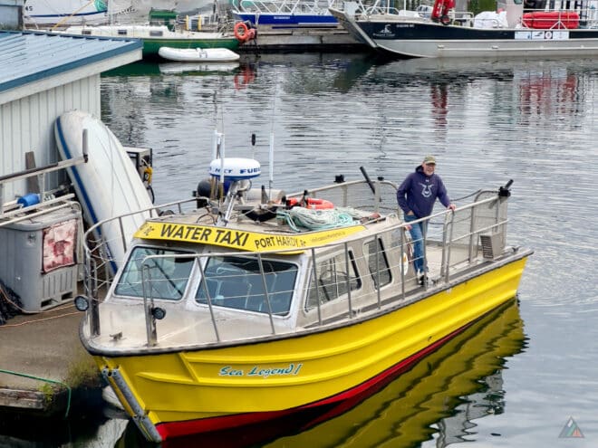
Trailhead transportation for the North Coast Trail must be reserved in advance. Access to the Shushartie Bay trailhead is by water taxi from Port Hardy. Access to the Cape Scott Trailhead is by logging road. The Cape Scott Water Taxi & North Coast Trail Shuttle are owned and operated by George and Babe Burroughs. They are your one-stop land and water logistics between Port Hardy and the North Coast Trail.
Most hikers take the water taxi to the Shushartie Bay trailhead and hike westbound. After arriving at the Cape Scott Trailhead, the North Coast Trial Shuttle drives hikers back to Port Hardy.
Cape Scott Water Taxi
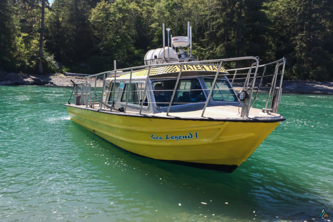
Base: Port Hardy
Website: www.capescottwatertaxi.ca
Phone: 1-250-949-6541 (Toll free: 1-800-246-0093)
Email: info@capescottwatertaxi.ca
The Cape Scott Water Taxi provides seasonal service to hikers at the Shushartie Bay Trailhead. Time of departure is 0700h from the Quarterdeck Marina in Port Hardy. Arrive 30 minutes early to allow for loading/parking and questions before
boarding the boat. The trip takes approximately 50-60 minutes and drops you right into the wilderness.
Captain George can drop-off or pick-up at different points west of Shushartie Bay (Nahwitti River, Cape Sutil or Fisherman Bay). These options skip significant overland sections and shorten the hike. This added service depends on tides and will increase the cost.
- Port Hardy – Shushartie Bay: $150.00 per person plus tax. (min. 4 people)
- Port Hardy – Cape Sutil: $200.00 per person plus tax (min. 5 people) (high tide only)(weather dependant)
- Port Hardy – Fisherman Bay: $250.00 per person plus tax (min. 6 people) (high tide only) (weather dependant) (satellite messenger/phone mandatory)
Here are a few extra tips to make your water taxi experience better:
- Have your backpack packed and “hike-ready” before boarding the water taxi.
- Stow trekking poles on or inside your pack.
- Carry full water bottles (there are limited water sources between Shushartie Bay and Skinner Creek).
- Watch for whales and other marine mammals.
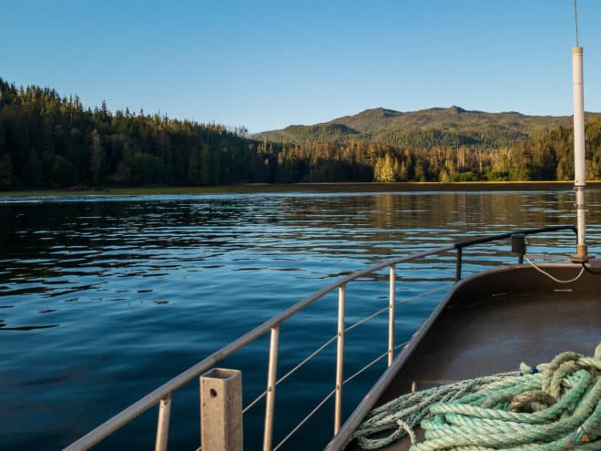
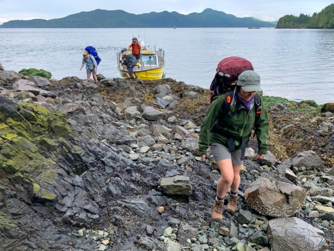
- Listen carefully to Captain George’s safety instructions. You will disembark from the bow of the bobbing Sea Legend 1 onto slippery rocks or drop onto a pebble beach while the motor is still running.
North Coast Trail Shuttle
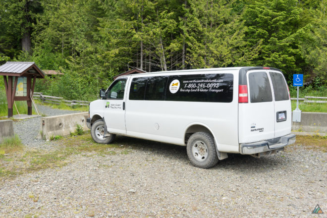
The North Coast Trail Shuttle van provides seasonal service to hikers at the Cape Scott Trailhead. Pickup time in the parking lot is at 1230h. Arrive early because they do not wait for stragglers. The shuttle trip from the trailhead to Port Hardy takes approximately 90 minutes.
Base: Port Hardy
Website: www.capescottwatertaxi.ca/services/north-coast-trail-shuttle/
Phone: 1-250-949-6541 (Toll free: 1-800-246-0093)
Email: info@capescottwatertaxi.ca
- Cape Scott Parking Lot – Port Hardy: $125.00 per person plus tax. (min. 3 people)
Here are a few extra tips to make your shuttle van experience better:
- If you have saved “cleaner” or “drier” clothes, there is a large picnic shelter at the Cape Scott Trailhead to change and organize gear.
- The shuttle typically stops at the Holberg General Store for snacks and beverages. Keep your wallet accessible.
Accommodations
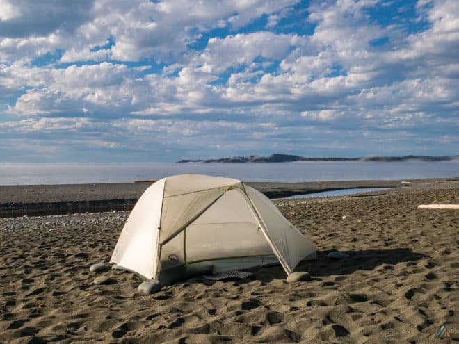
Port Hardy is the staging area for the North Coast Trail. Accommodations in town are limited and book up quickly in the high season. Reservations are recommended.
Port Hardy RV Resort & Log Cabins
Website: porthardyrvresort.com
Phone: 1-250-949-811 or toll-free 1-855-949-8118
Email: reservations@porthardyrvresort.com
Quarterdeck Inn and Marina Resort
Website: www.quarterdeckresort.net
Phone: 1-250-902-0455 or toll-free 1-877-902-0459
Email: info@quarterdeckresort.net
Glen Lyon Inn
Website: www.glenlyoninn.com
Phone: 1-250-949-7115 or toll-free 1-877-949-7115
Email: info@glenlyoninn.com
North Coast Trail Backpacker’s Hostel
Website: www.northcoasttrailhostel.com
Phone: 1-250-949-9441 or toll-free 1-866-448-6303
Email: porthardyhostel@gmail.com
Kwa’lilas Hotel
Website: kwalilashotel.ca
Phone: 1-250-949-9441 or toll-free 1-855-949-8525
Email: stay@kwalilashotel.ca
Weather
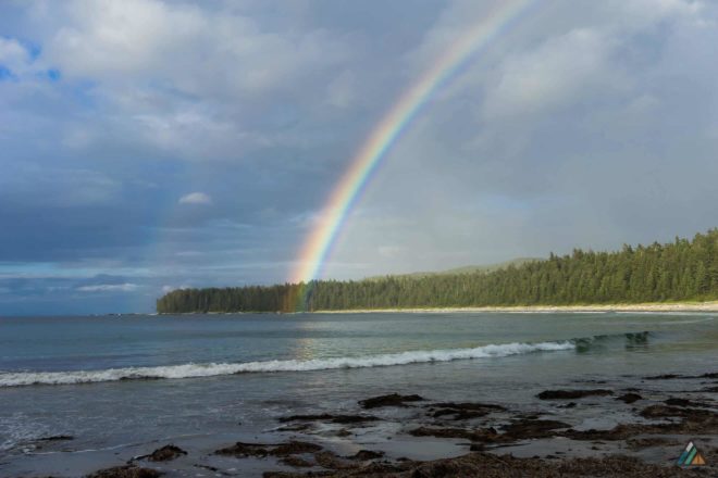
We study the weather before our trip using a few different resources. On trip we check the weather daily with our satellite messenger. You will be hiking in a temperate marine climate. Be prepared for all kinds of weather!
Tides
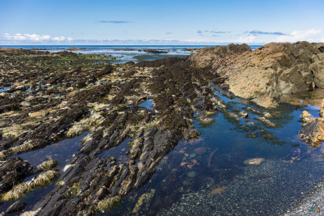
There is only one significant tide problem along the North Coast Trail involving a rocky cliff cut-off. It is always easier to hike any beach section on low tide. Plan accordingly by carrying tide tables and know how to use them. We use Cape Scott – 08790 tide tables.
- Tripod Beach: 16 km. Passable at low to mid tides.
View updated tide tables for your trip dates:
- Cape Scott – 08790 – 7 day and hourly prediction tide tables provide predicted times and heights of the high and low waters.
Route
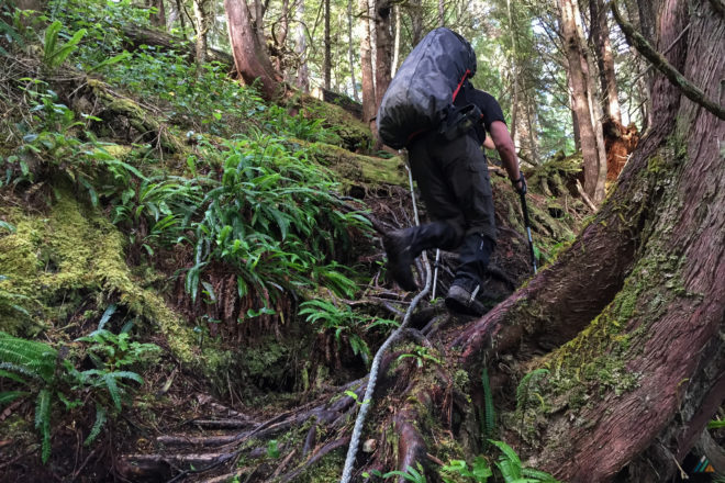
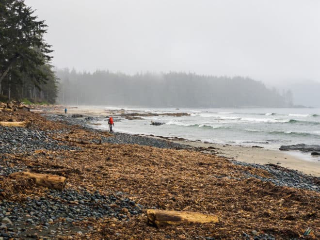
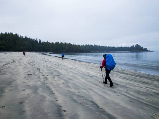
The North Coast Trail is a challenging and strenuous coastal experience. The beach sections contain: logs, deep sand, wet sand, pea gravel, pebbles, sloped surfaces, seaweed, algae, boulders, creeks, rocky headlands, tide problems, and tidal rivers.
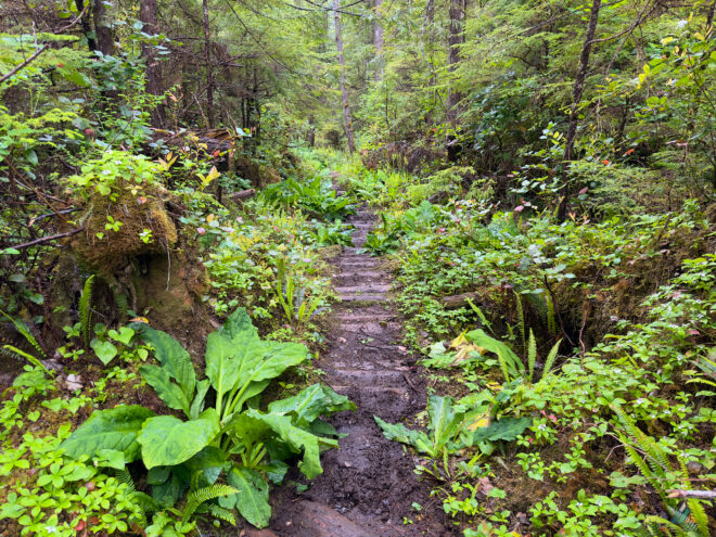
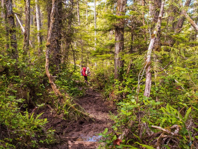
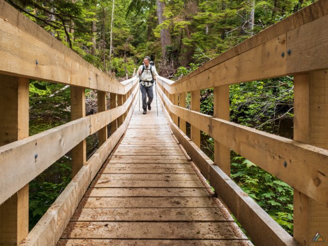
The rainforest sections have their own challenges: steep overland sections, blowdowns to crawl over or under, knee-deep mud, and slippery roots. There are also man-made wooden structures such as ropes and boardwalks in various states of decay. Forest entrances and campsites are marked with hanging floats.
The North Coast Trail officially ends at Nissen Bight. An extension to the Cape Scott Lighthouse is highly recommended if you have the time.
Here are some tips to help you move more efficiently through the terrain:
- Keep your pack weight as light as possible.
- Hike the beach sections on low tides.
- Use trekking poles.
- Hold tightly to ropes as they may be muddy.
- Start longer-distance days early so you can can pace yourself.
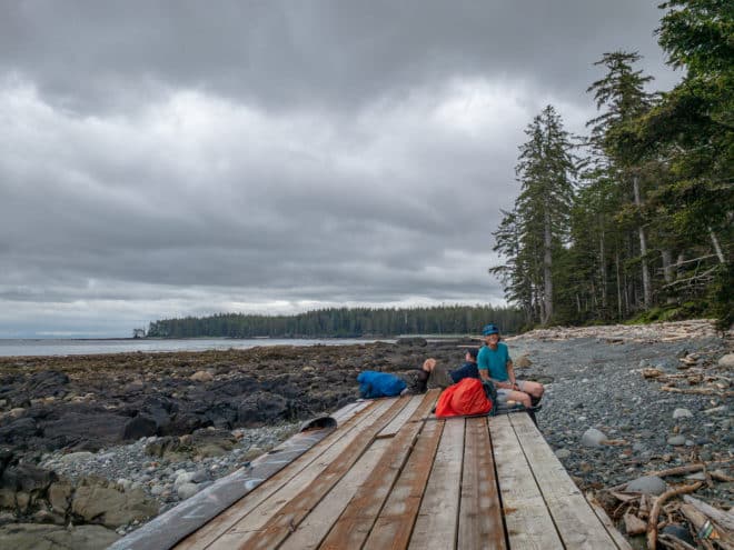
- Take lots of breaks. We like to lie on the beach and elevate our feet at rest stops!
Campsites
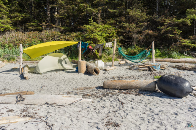
There are seven designated campsites and some primitive campsites on the official North Coast Trail. All designated sites have food lockers and outhouses. Hikers may extend their North Coast Trail hike with side trips in the Cape Scott Trail core area.
North Coast Trail (km from Shushartie)
Shushartie Bay (0 km)
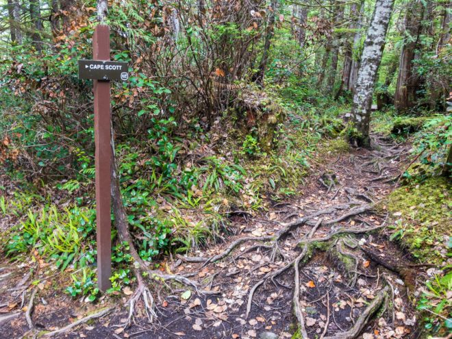
Westbound hikers don’t typically stay at Shushartie Bay Camp. It is a gloomy forest site about 50 metres from the trailhead with tent pads. Fresh water is difficult to obtain here, so water should be packed in. Hikers usually only camp here if they have hiked eastbound and are getting picked up by the Cape Scott Water Taxi in the morning.
Skinner Creek (9 km)
Scenic Skinner Creek Camp marks the happy end to the forest overland section for westbound hikers. The sand and pebble beach is an excellent campsite with a great water source.
Nahwitti River (11 km)
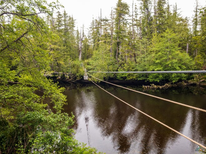
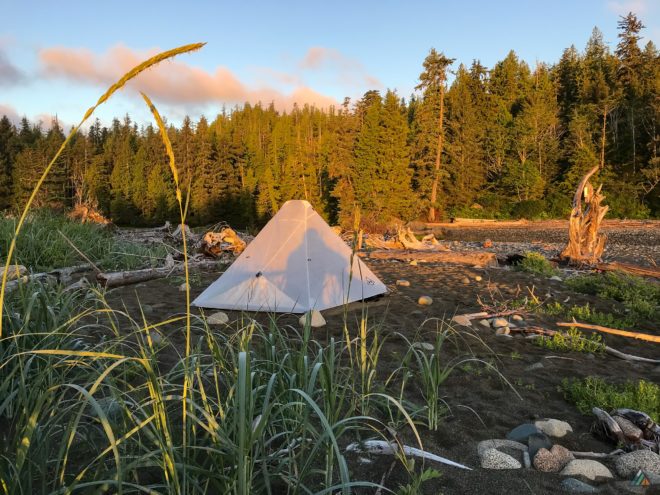
Nahwitti River Camp has forest tent pads, or you can camp on the beach. The estuary is a great place to watch for birds and other wildlife. Because the river is tidal, drinking water must be collected upstream at high tide. A short hike along the North Coast Trail behind the forest campsites leads to a gravel bar where fresh water can be collected. The cable car will be in sight.
Tripod Beach (16 km)
Tripod Beach is an undesignated, primitive campsite. It has a water source about 50 m from the base of the access staircase, but no outhouse or food locker. It’s useful spot to wait if you can’t solve the Tripod tide problem until the tides are lower.
Cape Sutil (17 km)
Cape Sutil is the most northern point on Vancouver Island and a culturally important area for First Nations. The beach camping is excellent. Sutil Bight is a fine place to swim and wash off the rainforest mud. The fresh water source is a bit of a hunt…look for a path into the forest from the beach. There is a BC Parks Facility Officer cabin (yurt) at this location.
Irony Creek (24 km)
Irony Creek Camp is probably the most premium site on the North Coast Trail. Shuttleworth Bight is a massive beach that beckons hikers to stay an extra day. John Baldwin’s map indicates that whales hang out here…and they do! There are tent pads in the forest or sandy spots on the beach. Irony Creek is an excellent water source.
Laura Creek (37 km)
Laura Creek Camp is a welcome sight after a hard day of beach slogging. There are tent pads available in the sheltered forest or you may camp on the sand. We see a lot of wolf tracks here in the mornings. It’s not the nicest beach on the trail, but it is a logical place to stop on westbound itineraries.
Nissen Bight (43 km)
Nissen Bight marks the official western end of the North Coast Trail. The zone is a gorgeous beach about 1 km in length. Water is located at the east side, close to where the trail exits the forest. There is a food locker here as well. The west side has a food locker and the outhouse. We usually set up camp on the west end to be close to the “facilities” and make a trip for water afterwards.
Cape Scott Core Area (km from Cape Scott Trailhead)
San Josef Bay (2.5 km)
The two camping areas at San Josef Bay have outhouses and food lockers. The more western zone has fresh water. There is a tide problem between the two camps, so take this into consideration when trip planning. San Josef Camp is very popular due to trailhead proximity.
Eric Lake (3 km)
Eric Lake Camp is a reasonably large forest site with 11 tent pads and boardwalk connections. Hikers accessing the North Coast Trail from the Cape Scott Trailhead may opt to stay here if they get a late start to the day.
Fisherman River (9 km)
Fisherman River Camp is not the prettiest spot, but there is plenty of water. There are two new tent pads and an outhouse. We are not sure if there is a food locker here yet.
Nels Bight (17 km)
Nels Bight is similar to Nissen Bight, but is larger, sandier, and better situated for sunset viewing. Water is a more convenient here as well. It is a popular weekend spot, as hikers can access it from the Cape Scott Trailhead. Nels makes a great basecamp if you want to add the Cape Scott Lighthouse to your North Coast Trail adventure. There is also a ranger cabin at this spot.
Guise Bay (20 km)
You will probably have Guise Bay Camp all to yourself if you decide to stay here. There is a food locker, outhouse, and water source.
Here are some tips to enhance your camping experience:
- There is usually no need to camp of top of each other! We like to spread out to create space and solitude for ourselves and others.
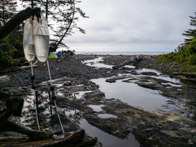
- All fresh water should be treated before consumption. We collect as far upstream as possible. Even if a creek is not tidal, seagulls seem to love bathing near the mouth. Avoid this zone!
- Irony Creek Camp (Shuttleworth Bight) is a wonderful place to spend an extra day for a mid-trip rest. There are great tide pools here…once we saw a massive pool filled with trapped jellyfish!
- Rehydrate fully at camp. Water sources between camps may be sparse during dry summers.
Trip Reports
- Shushartie Bay to Fisherman Bay – June 24-26, 2024
- Shushartie Bay to Fisherman Bay – June 27 – July 1, 2022
- Shushartie Bay to Fisherman Bay – May 30-June 5, 2021
- Shushartie Bay to Fisherman Bay – August 16-22, 2020
- Shushartie Bay to Cape Scott Parking Lot – August 11–17, 2019
- Shushartie Bay to Cape Scott Parking Lot – July 13-20, 2019
- Cape Scott Parking Lot to Shushartie Bay – June 8-15, 2019
- Shushartie Bay to Cape Scott Parking Lot – July 22-28, 2018
- Cape Sutil to Cape Scott Parking Lot – May 27-31, 2016
- Nahwitti River to Cape Scott Parking Lot – July 19-25, 2015
Shushartie Bay to Fisherman Bay – June 24-26, 2024
- Distance: 45 km
- Duration: 3 days
- Peak: 251 m
- Gain: 1056 m
- Route: CalTopo
I just returned from an epic solo trip and reconnaissance mission on the North Coast Trail in Cape Scott Provincial Park! After a lucky logistics alignment with Babe at the Cape Scott Water Taxi, I was off to Port Hardy for a 7:00 am outbound ride on Monday morning. The weather forecast looked great for the next few days, considering all the moisture that June provided on the north island. I was welcomed with true rainforest hospitality upon arrival at my Port Hardy RV Resort & Cabins campsite Sunday afternoon. A last minute upgrade to a cabin provided a nice refuge from the deluge. Overnight the heavy rain subsided. That drying trend would continue for the 60 hours I spent on the trail.
Day 1: Shushartie Bay to Nahwitti River
- Distance: 12.5 km
- Duration: 5 h 40 min
- Peak: 251 m
- Gain: 447 m
- Track: Suunto
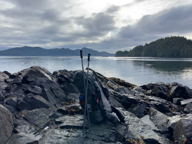
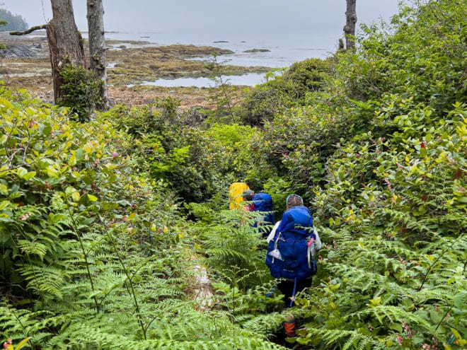
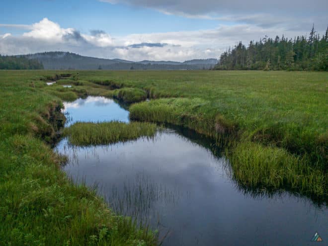
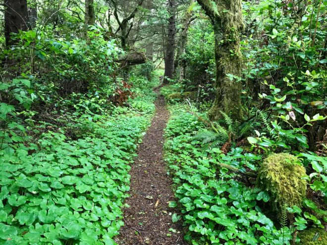
After a fantastic water taxi ride with Captain George, we arrived at Shushartie Bay around 8:00 am. Animals spotted included eagles, seals, sea otters, porpoises, and two black bears foraging along the shoreline. My first step off of the water taxi bow was carefully taken onto the slick rocky beach. I checked my pack and began hiking up the steep slope with the first dangling rope. The challenging overland section between Shushartie Bay and Skinner Creek is exclusively on rainforest single track with lots of steep slopes, slippery roots, squishy bogs, and relentless mud. Moisture from the rain was absorbing into the spongy terrain, but there were still many puddles. My shoes were soaked within the first few kilometres, but waterproof socks kept my sock liners dry. I enjoyed this challenging terrain, even though laser focus was required at all times. I noticed several frogs and toads along the way, a good sign of a healthy ecosystem. Songbirds in the forest canopy kept me company as well. I observed wolf sign, with fresh tracks going in both directions and scat. Eventually I could hear the ocean, then smell it, and finally see it as I descended into Skinner Creek Camp. I opted to continue two kilometres to Nahwitti River Camp. Skinner beach provided hard sand, a nice break from the soggy bogs all morning. Up a steep rope slope and onto the final overland section of the day, I noticed the first signs of the Danish settlers. The corrugated road bed was still intact in places, even with a century of continuous rainforest decay. I arrived at Nahwitti River Camp (an hour past Skinner) and set about my camp activities: picking the best tent pad, pitching my tarp and tent, retrieving fresh water from above the tidal lagoon, making dinner, and observing wildlife. The best wildlife show of the day was my dinner visitor…a small black bear that passed right through camp. He did not give me much notice, but rather continued down the beach foraging through kelp and rock piles for goodies. A few floating sea otters kept me entertained before hitting my sleeping bag.
Weather observations. Sky: overcast-scattered clouds, Precipitation: nil, Temperature: 10.2-15.1ºC, Humidity: 73.3-87.5%, Wind: calm-light NW, Pressure: 1018.0-1021.8 mb.
Day 2: Nahwitti River to Irony Creek
- Distance: 15.3 km
- Duration: 6 h 14 min
- Peak: 125 m
- Gain: 405 m
- Track: Suunto
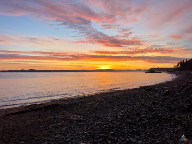
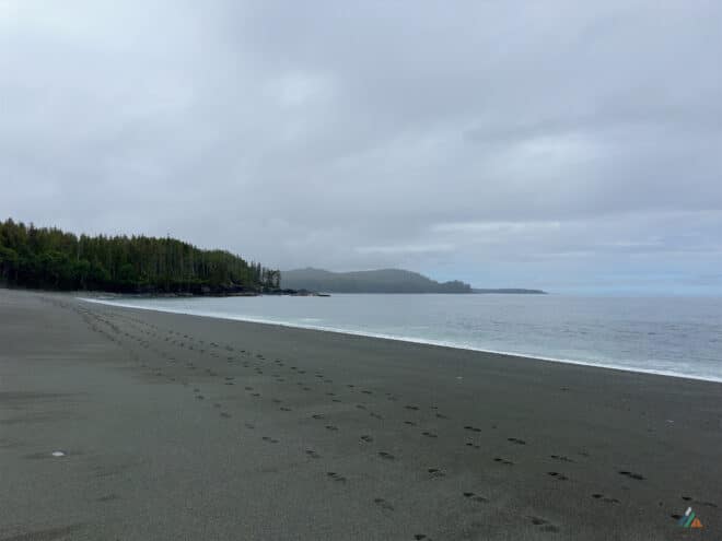
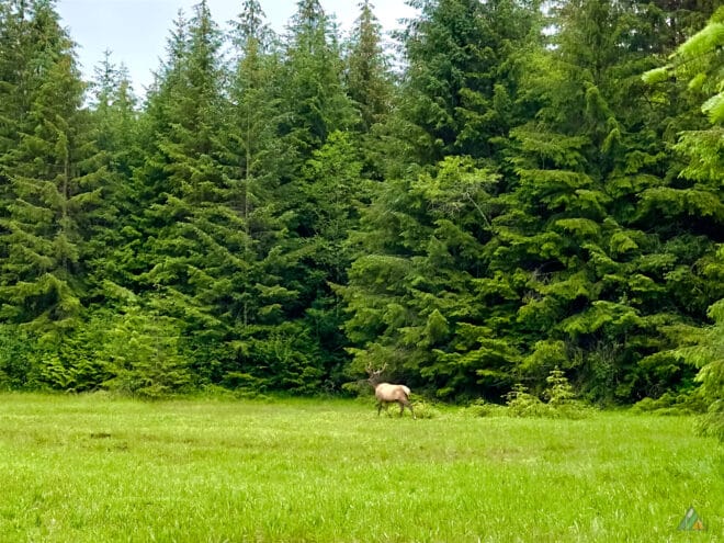
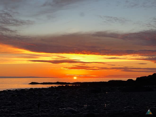
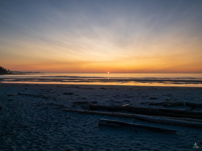
I woke up with the birds at sunrise and caught some epic colours over the Coast Mountain Range and Hope Island. I departed camp at 7:00 am and headed up the Nahwitti River to my first cable car crossing. Riding cable cars solo can be challenging, but I managed to cross without dropping anything from the pack. I always tuck my trekking poles in the side pockets and make sure nothing dangles off the sides. On the other side of the Nahwitti River, easy single track flows through second growth forest on overgrown logging skid roads. Entering the meadow, I noticed some fresh grass pushed down by something big. I glanced over to the right and was surprised to see a massive elk grazing near the forest edge. This was my first elk sighting on the trail and was a real treat. I managed to get some photos and a video before the big guy wondered off into the forest. The next overland section from the west side of Nahwitti up to Long Leg Hill and down to Tripod beach was strenuous. I clocked my slowest average speed for the trip at only 1.6 kph. The terrain is rough and slippery through here, but the reward is the Long Leg Hill staircase and first views of Cape Sutil Camp. I arrived right at the lowest tide of the day, easily passing tripod Rock with two meters of clearance, and enjoyed the rocky low tide route. I arrived at Cape Sutil Camp way too early to stop, so I headed back into the rainforest and interconnecting pocket beaches all the way to Irony Creek Camp. I passed a group of four hikers, and this would be the only other hikers I would see on the trail during my entire three day trip. I arrived at Shuttleworth Bight (Irony Creek Camp) in the early afternoon, picking my favourite tent pad to setup on, and enjoyed a leisurely evening and epic sunset before heading to bed.
Weather observations. Sky: overcast-scattered clouds, Precipitation: nil, Temperature: 8.6-15.1ºC, Humidity: 75.2-91.2%, Wind: calm-light NW, Pressure: 1014.6-1020.0 mb.
Day 3: Irony Creek to Fisherman Bay
- Distance: 22.6 km
- Duration: 7 h 7 min
- Peak: 77 m
- Gain: 204 m
- Track: Suunto
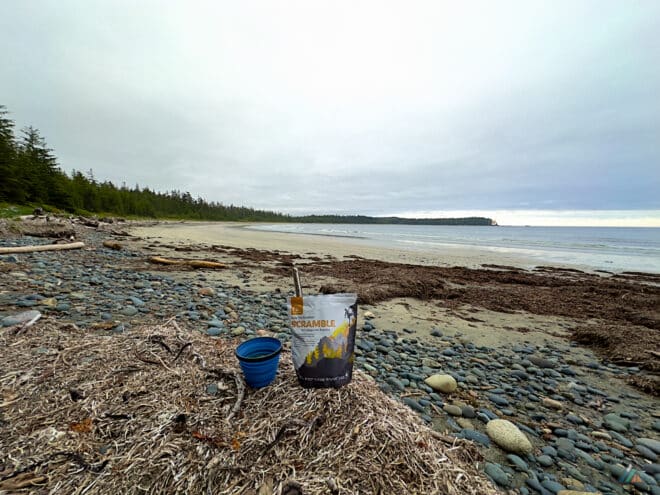
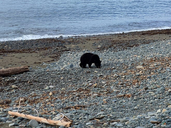
I got an early start for my third and final day, as my Fisherman Bay water taxi pickup was confirmed. I had nine hours to finish the remaining 23 km of trail. I enjoyed a tofu scramble breakfast with tea and my fifth black bear sighting of the trip. A medium sized black bear waddled along the driftwood, grazing on the long grass up at the forest edge. I managed a few photos as I packed up and started down Shuttleworth Bight on nice hard packed sand towards the Strandby River. I made a quick detour to the river mouth to see if I could successfully ford. Unfortunately, it was either swim or use the cable car. So I made a quick jaunt into the forest, across a short boggy section, and up the river bank to the second cable car. Once past the cable car, another short boggy section leads to a well packed single track on the opposite side of Strandby River. There was a ton of wolf sign along the trail here, with multiple piles of scat and several tracks. After popping out onto the west side of Standby Point, I navigated a series of interconnecting pocket beaches to start the longest sustained coastal hiking section. There is approximately 8 km of coastline between Wolftrack Beach and the beach exit past Laura Creek. This is my favourite long beach section because of wide open views of the North Pacific Ocean with an exposed feeling on surprisingly gentle terrain for great hiking. I had good marine wildlife viewing along here, with several passing whales spouting and humpbacks showing just above the water surface. I skipped past Laura Creek and headed into the rainforest for a final overland section. Terrain highlights included Dakota Creek, Laughing Loon Lake, another upland bog, a final tangled mess of roots and mud, and a beautiful staircase onto Nissen Bight. Nissen is the last sandy bight on the official North Coast Trail. I walked the beach towards Fisherman Bay, arriving two hours early for my Cape Scott Water Taxi pickup. The bright yellow hull of the Sea Legend rounded the point at 4:10 pm with Captain George at the helm. Mission accomplished!
Weather observations. Sky: overcast-scattered clouds, Precipitation: light, Temperature: 10.5-15.2ºC, Humidity: 77.7-88.8%, Wind: calm-light NW, Pressure: 101.9-1014.1 mb.
Shushartie Bay to Fisherman Bay – June 27 – July 1, 2022
- Distance: 45 km
- Duration: 5 days
- Peak: 243 m
- Gain: 1035 m
- Route: CalTopo
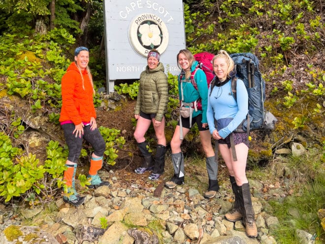
I guided a super keen group of four hikers on a five-day North Coast Trail adventure from June 27 to July 1. We enjoyed two voyages on the Cape Scott Water Taxi, celebrated near perfect route conditions, experienced an intense overnight lightning storm, discovered a whale spine with teeth marks on it, identified birds by sight and sound, observed a few black bears, and learned how to backpack like a pro.
Day 1: Shushartie Bay to Skinner Creek
- Distance: 9.6 km
- Duration: 7 h 52 min
- Peak: 252 m
- Gain: 385 m
- Track: Suunto
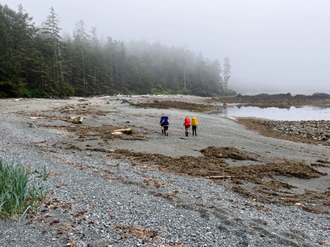
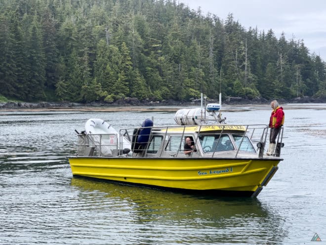
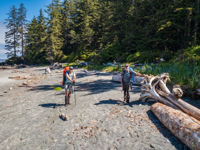
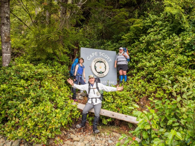
Our eager group arrived at the Cape Scott Water Taxi dock at 0630 h. George and Brett warmed up the Sea Legend engines and checked the electronic systems. We loaded the boat and motored out of Port Hardy before 0700 h. The glassy water reflected the soft marine fog, creating a welcome cool start. We spotted sea otters floating in the waves. The land disappeared from view while George navigated us safely with radar, watching for stray kayakers. We arrived at Shushartie Bay at 0800 h, watching a small black bear feed on estuary grasses. We disembarked onto slippery rocks and rubbery kelp, welcomed by bright sea stars of the intertidal zone. After a safety briefing, pack adjustment, and trailhead photos, we started hiking at 0820 h. The Shushartie to Skinner overland is one of the most challenging sections of the trip, and the uphill effort starts immediately.
Weather observations. Sky: obscured-scattered clouds, Precipitation: nil-light rain, Temperature: 12.0-22.4ºC, Humidity: 46.7-79.5%, Wind: calm-light W, Pressure: 1010.5-1017.4 mb.
Day 2: Skinner Creek to Cape Sutil
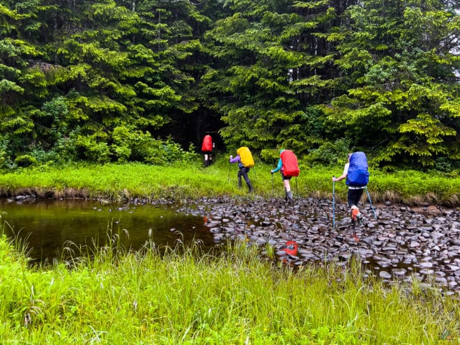
- Distance: 10.5 km
- Duration: 8 h 23 min
- Peak: 127 m
- Gain: 485 m
- Track: Suunto
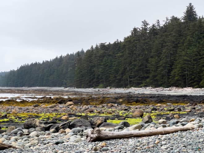
Day 2 began with a wicked Skinner Bight lightning storm that frightened us from midnight to 0200 h. Electric bolts hit the ocean not far from camp. One super loud beach clap felt way too close for comfort. I have experienced an overnight North Coast Trail storm like that only one other time. We gathered ourselves in the morning and broke camp at 0800 h. Our individual tent experiences made for great chatter while we hiked to Cape Sutil. The hike was a typical North Coast Trail day with light precipitation, mud, bear sign, a fun cable car ride across Nahwitti River, a bog obstacle course, a longer “tide problem” break at Tripod Rock, roller coaster ropes, and a sunny finish at Camp Sutil for refreshing swims.
Weather observations. Sky: overcast-scattered clouds, Precipitation: nil, Temperature: 11.9-14.7ºC, Humidity: 79.9-92.9%, Wind: calm-light W, Pressure: 1011.1-1018.0 mb.
Day 3: Cape Sutil to Irony Creek
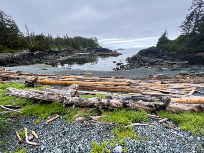
- Distance: 8.5 km
- Duration: 5 h 12 min
- Peak: 49 m
- Gain: 180 m
- Track: Suunto
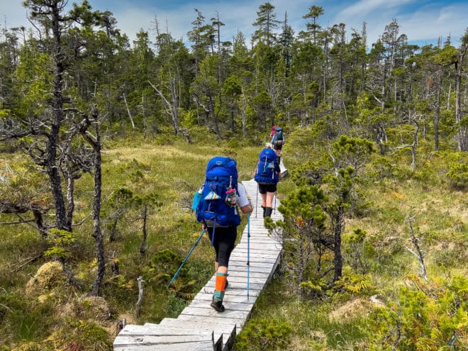
We woke to Swainson’s thrushes singing above our tents at Sutil Bight. Our group enjoyed a much better sleep, with calm overnight conditions and little precipitation. The hike out of Sutil started with a bog crossing and bisection of Vancouver Island’s most northern peninsula. Classic coastal hiking terrain unveiled beautiful pocket beaches and winding rainforest paths. We passed the famous tombolo at Turnaround Point. As our heading pivoted to SW, we caught the first glimpses of Cape Scott and the Scott Islands. We watched for bears, but only found fresh tracks and scat. After an efficient day of hiking, we arrived at Shuttleworth Bight in just over 5 hours. Irony Creek Camp is an excellent sandy beach and we were happy for extra time here. Some participants chose the beach for tent sites, while others opted for sand-free tent forest pads.
Weather observations. Sky: overcast-broken clouds, Precipitation: nil, Temperature: 10.9-14.4ºC, Humidity: 86.4-93.4%, Wind: calm-light NW, Pressure: 1018.0-1023.2 mb.
Day 4: Irony Creek to Laura Creek
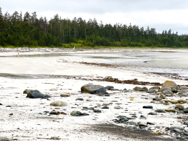
- Distance: 13.3 km
- Duration: 6 h 27 min
- Peak: 28 m
- Gain: 42 m
- Track: Suunto
We woke to another beautiful morning with singing birds and dry tent flies. The weather continued to be favourable with perfect hiking temperatures in the mid teens, thin cloud cover, light winds, and no precipitation. Today’s section from Irony Creek to Laura Creek was a favourite for coastal terrain lovers. Over half of the 13 km showcases every kind of beach imaginable including hard sand, pea gravel, cobblestones, boulders, driftwood logs, dried kelp, and tidal shelves. Mixed into the adventure was the Stranby River cable car, wonderful forest paths, and more bogs to keep us focused on each muddy step. We watched the ocean for whale friends and the beaches for bears and wolves. We saw a high quantity of sign, but not the animals who made them. We arrived at Laura Creek camp in just 6.5 hours, allowing plenty of rest time.
Weather observations. Sky: broken clouds-obscured, Precipitation: nil, Temperature: 11.3-15.9ºC, Humidity: 75.5-91.8%, Wind: calm-light NW, Pressure: 1020.5-1023.2 mb.
Day 5: Laura Creek to Fisherman Bay
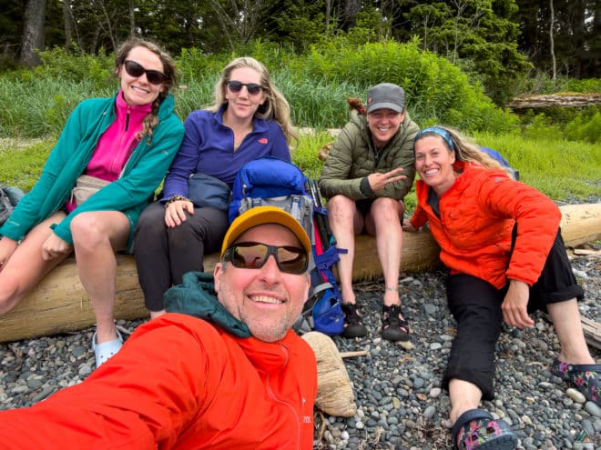
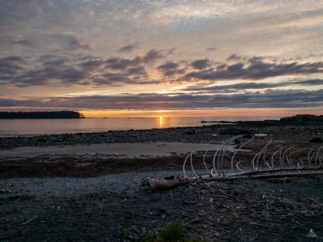
We finally viewed our first on-trail bear of the trip at Laura Creek camp! We saw lots of sign north of the creek when hiking by earlier. Just after dinner on a water run, I noticed a mid sized black bear foraging in the kelp beds. Some participants had never seen a bear in the wild before. Day 5 on the trail began with another dry morning and a wonderful flat beach hike to some stairs. There was a whale spine rotting at the beach access, with wolf-track accumulation around the bones. The wolves had even gnawed the marrow inside the vertebrae. The hike across the inland rainforest was dry and fast. We arrived at Laughing Loon Lake in a couple of hours. Our team moved through the last bog with practiced efficiency. With a trip down the final stairs to Nissen Bight, we completed the North Coast Trail!
Weather observations. Sky: overcast-broken clouds, Precipitation: nil-light rain, Temperature: 12.5-16.4ºC, Humidity: 75.7-90.0%, Wind: calm-light NW, Pressure: 1012.3-1020.7 mb.
Shushartie Bay to Fisherman Bay – May 30-June 5, 2021
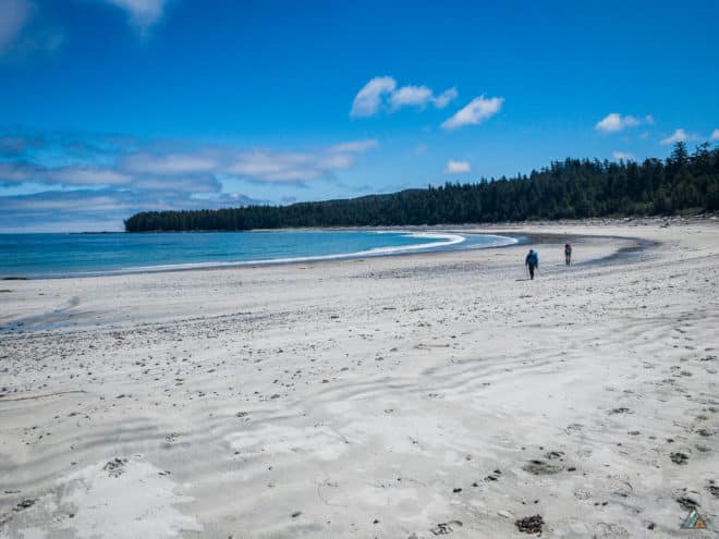
- Distance: 69.8 km
- Duration: 7 days
- Peak: 243 m
- Gain: 1424 m
- Route: CalTopo
Our team was the first guided group to complete the North Coast Trail this season! The Cape Scott Water Taxi had just reopened and two quick-packing Vancouver Island clients joined our inaugural trip. We experienced the usual deep mud puddles and rainforest obstacles with slick, twisted roots. Overall the trail was in decent shape considering it was early in the season and trail maintenance crews had not been through to clear yet. We appreciate the wild character and challenges that the North Coast Trail delivers and hope it never becomes a busy toll highway for trekkers like other more famous coastal trails. We will be back soon for another epic adventure!
Weather
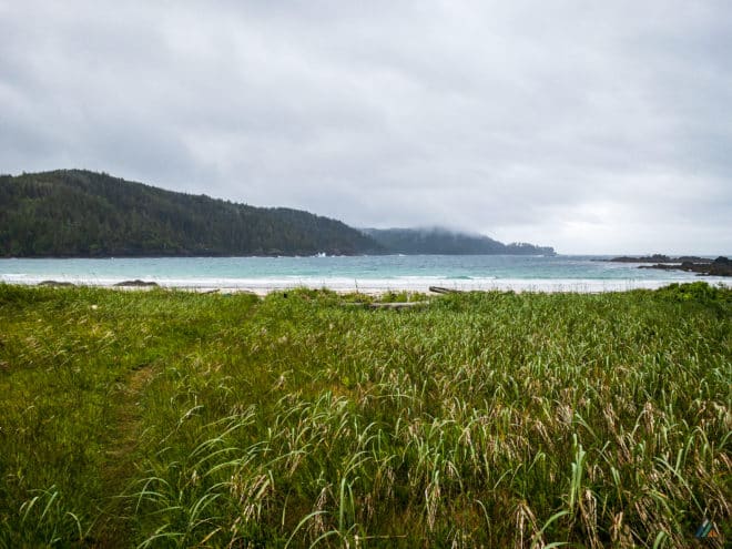
We got lucky with weather the first few days. It was exceptionally warm and we had no precipitation until the afternoon of day 4. Light rain continued into the morning and then broke for some afternoon sunshine on day 5. We experienced real North Coast Trail weather on our hike to the Cape Scott Lighthouse on day 6 with strong SE winds to 40 knots and more light rain. The hike out on day 7 to Fisherman Bay included a couple of good heavy deluges with mud bogging before we boarded. Our team enjoyed a very pleasant sailing on the Cape Scott Water Taxi back to Port Hardy.
- Day 1: Shushartie Bay to Skinner Creek. Sky: overcast, Precipitation: nil, Temperature: 11.5-17.3ºC, Humidity: 69.6-89.8%, Wind: calm, Pressure: 1019.8 mb.
- Day 2: Skinner Creek to Cape Sutil. Sky: overcast, Precipitation: nil, Temperature: 10.7-16.6ºC, Humidity: 79.3-92.1%: Wind: calm, Pressure: 1023.0 mb.
- Day 3: Cape Sutil to Irony Creek. Sky: broken clouds, Precipitation: nil, Temperature: 10.9-21.5ºC, Humidity: 58.2-91.4%, Wind: calm, Pressure: 1021.7 mb.
- Day 4: Irony Creek to Laura Creek. Sky: overcast, Precipitation: light rain, Temperature: 10.5-20.3ºC, Humidity: 64.2-90.5%, Wind: light SE, Pressure: 1016.6 mb.
- Day 5: Laura Creek to Nels Bight. Sky: scattered clouds, Precipitation: light rain, Temperature: 9.5-20.1ºC, Humidity: 44.4-91.5%, Wind: light SE, Pressure: 1019.1 mb.
- Day 6: Nels Bight to Cape Scott Lighthouse (return). Sky: overcast, Precipitation: light rain, Temperature: 9.4-23.5ºC, Humidity: 74.5-92.8%, Wind: strong SE, Pressure: 1015.2 mb.
- Day 7: Nels Bight to Fisherman Bay. Sky: overcast, Precipitation: light rain, Temperature: 7.8-9.3ºC, Humidity: 93.4-94.8%, Wind: light SW, Pressure: 1007.8 mb.
Data logged with Kestrel Meters Drop D3.
Route
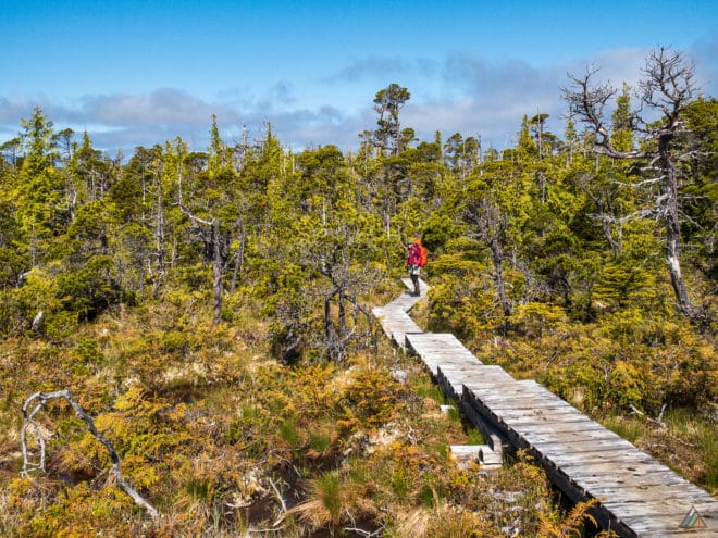
We followed the traditional North Coast Trail route from east to west. The Cape Scott Water Taxi delivered us safely to Shushartie Bay where we were immediately greeted by one of the steepest ropes and biggest climbs of the entire trail. The slick roots and mud puddles kept us focused on our feet, but we still enjoyed the wonderful and wild scenery on the overland section to Skinner Creek. The next section to Cape Sutil is arguably more challenging than the first with more slippery surfaces, mud, the first cable car ride over Nahwitti River, the North Coast Trail’s only tide obstacle at Tripod Rock, and the famous roller coaster ropes. After bisecting Cape Sutil and enjoying the low tide route, we climbed up into the rainforest a couple more times, before the glorious coastal beach hiking continued all the way to Irony Creek and my favourite beach in the park: Shuttleworth Bight. Irony Creek to Laura Creek included a long stretch of hard sand, more slippery roots and mud, the second cable car over the Strandby River, pleasant rainforest paths, and another long section of coastal beach hiking. Laura Creek to Nels Bight offered hard sand beach at the beginning, then a long overland rainforest section south of Nahwitti Cone, up to the board walks around Laughing Loon Lake. After a beautiful upland bog boardwalk stroll with views down to the ocean, we entered the final slippery, muddy, rainforest section that deposited us onto Nissen Bight and the official western terminus of the North Coast Trail. We continued onto the old settlers roads to Nels Bight, were we enjoyed two nights of camping plus a side trip on old roads and hard sand beaches to the Cape Scott Lighthouse. Retracing our steps through wet and muddy trails brought us back to our pickup at Fisherman Bay and our second Cape Scott Water Taxi ride back to Port Hardy.
- Day 1: Shushartie Bay to Skinner Creek. Distance: 7.1 km (clipped), Duration: 6:50’51, Peak: 241 m, Ascent: 377 m, Ascent time: 1:35’28, Descent: 354 m, Descent time: 1:39’22. Map (clipped)
- Day 2: Skinner Creek to Cape Sutil. Distance: 8.23 km (clipped), Duration: 6:39’18, Peak: 96 m, Ascent: 265 m, Ascent time: 1:20’31, Descent: 266 m, Descent time: 1:26’29. Map
- Day 3: Cape Sutil to Irony Creek. Distance: 8.64 km, Duration: 5:15’00, Peak: 35 m, Ascent: 149 m, Ascent time: 41’04.0, Descent: 142 m, Descent time: 48’36.0. Map
- Day 4: Irony Creek to Laura Creek. Distance: 12.37 km (clipped), Duration: 6:37’31, Peak: 14 m, Ascent: 31 m, Ascent time: 23’22.0, Descent: 43 m, Descent time: 17’21.0. Map
- Day 5: Laura Creek to Nels Bight. Distance: 12.81 km (clipped), Duration: 6:40’24, Peak: 82 m, Ascent: 235 m, Ascent time: 1:23’52, Descent: 213 m, Descent time: 1:07’43. Map
- Day 6: Nels Bight to Cape Scott Lighthouse (return). Distance: 12.40 km, Duration: 4:46’39, Peak: 64 m, Ascent: 380 m, Ascent time: 1:19’37, Descent: 392 m, Descent time: 1:31’58. Map
- Day 7: Nissen Bight to Fisherman Bay. Distance: 5.95 km, Duration: 2:01’42, Peak: 48 m, Ascent: 53 m, Ascent time: 16’29.0, Descent: 66 m, Descent time: 16’51.0. Map
Data logged with Suunto 9 Baro. Note: Some distances are clipped by 1-2 km.
Wildlife
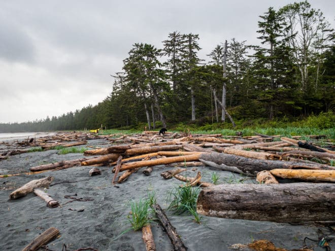
The coastal environment and ecosystems are rich in biodiversity. The lush green rainforest was full of new life. Fresh salal shoots, skunk cabbage leaves, and fiddle heads were exploding everywhere. Upland bog plants included carnivorous sundews, flowering Labrador tea, sea blush, and stunted gnarly pines. Untouched old growth trees in the rainforest and along the foreshore included towering Douglas fir, ancient hemlocks, and massive Sitka spruce. Birds spotted and heard included eagles, ravens, Steller’s jays, Pacific wren, and several types of thrushes. Robins, hermit, and varied thrushes were always the first awake at 0430 so there was no need for alarm clocks. The first mega fauna sign was spotted at Skinner Creek with many fresh wolf tracks moving in deliberate and efficient straight lines. The first of many bear signs (a big fresh pile of scat) was spotted in the middle of the trail along the overland rainforest route between Skinner Creek and Nahwitti Beach. The wolves and bears like to follow the trails too. Marine wildlife included an abundance of rich intertidal creatures such as crabs, urchins, sea stars, anemones, and all kinds of kelp and seaweeds. Loons and ducks were seen floating in the bays and Laughing Loon Lake. Many bobbing seals were spotted from the beaches, and we caught glimpses of lazy sea otters basking in the sun on the water surface from the boat. No whales were sighted, but we did view several black bears to make up for the lack of them. The bears started to appear on day 4 along the coastal route between Irony Creek and Laura Creek. The resident Nels Bight bear made an appearance right in front of my tent and got scared off into the woods. There were a ton of fresh scat piles and skunk cabbage diggings between Nels Bight and the Cape Scott Lighthouse. We later learned that four resident black bears are living around Todd and Harvey’s place at the Lighthouse. We even had a visit from one of them while we were there. Apparently two of them are young siblings and like to wrestle on the front lawn!
Hazards
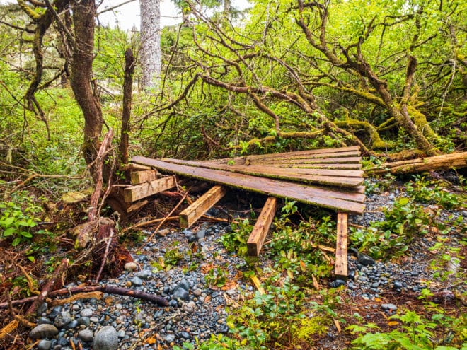
There are many hazards to be aware of on the North Coast Trail. It is a wild and remote route that gets only as much attention as possible with the staff available. Human-made structures, including boardwalks and stairs, are constantly in a state of flux between freshly built and completely decayed. The winter storms wreak havoc on other structures like signs and tent pads. One tent pad at Nahwitti River camp was completely blown apart along with the BC Parks sign board. After a refit, the two cable cars are running like new. 43K Wilderness Solutions is doing an excellent job to maintain and build out this wild coastal trail. Mud is a constant companion and a reminder that you’re hiking in a temperate rainforest climate. Cape Scott Provincial Park receives as much as 400 mm per month in the winter and as little as 50 mm in the summer months. 1000’s of mm a year makes big mud puddles and some may never dry out even in the hottest and sunniest months. Watch for any wet surfaces because they will be slippery. When the going gets tough, focus on your steps and be safe!

Shushartie Bay to Fisherman Bay – August 16-22, 2020
- Distance: 71.6 km
- Duration: 7 days
- Peak: 243 m
- Gain: 1424 m
- Route: CalTopo
The moment we arrived in Shushartie Bay, we knew this was going to be a wild adventure. George powered down the Sea Legend and we noticed a small black bear feeding in the estuary. There’s no better way to start a hike on the North Coast Trail than with a wildlife sighting at the very beginning!
Weather
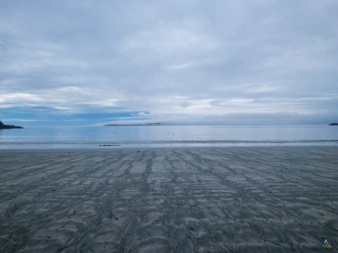
We had excellent weather for our first few days. Temperatures reached a high of 27ºC in the upland bog zone on day one. Day two and three were a mix of sun and clouds. The pressure dipped on day four and the wind increased from the south. Hard rains and a storm surge at Laura Creek the evening of day four added to the challenge of finding a dry campsite. We had a wild thunder and lightening storm in the middle of the night on day five. Weather improved on day six and seven with a rewarding sunny swim at Guise Bay. The water taxi journey back to Port Hardy was on calm waters and under sunny skies.
- Day 1: Shushartie Bay to Skinner Creek. Sky: scattered clouds, Precipitation: nil, Temperature: 12.9-27.4ºC, Humidity: 55.0-98.4%, Wind: calm, Pressure: 1013.1 mb.
- Day 2: Skinner Creek to Cape Sutil. Sky: broken clouds, Precipitation: nil, Temperature: 12.8-21.5ºC, Humidity: 74.3-100.0%: Wind: calm, Pressure: 1013.6 mb.
- Day 3: Cape Sutil to Irony Creek. Sky: few clouds, Precipitation: nil, Temperature: 12.0-18.6ºC, Humidity: 75.4-100.0%, Wind: calm, Pressure: 1017.0 mb.
- Day 4: Irony Creek to Laura Creek. Sky: overcast, Precipitation: light rain, Temperature: 10.6-17.6ºC, Humidity: 96.9-100.0%, Wind: light SE, Pressure: 1002.9 mb.
- Day 5: Laura Creek to Nissen Bight. Sky: overcast, Precipitation: moderate rain, Temperature: 14.3-22.1ºC, Humidity: 87.5-100.0%, Wind: light SE, Pressure: 999.6 mb.
- Day 6: Nissen Bight to Cape Scott Lighthouse (return). Sky: overcast, Precipitation: nil, Temperature: 12.1-22.3ºC, Humidity: 72.6-100.0%, Wind: light S, Pressure: 1002.6 mb.
- Day 7: Nissen Bight to Fisherman Bay. Sky: overcast, Precipitation: nil, Temperature: 13.2-20.8ºC, Humidity: 60.6-100.0%, Wind: light NW, Pressure: 1020.1 mb.
Data logged with Kestrel Meters Drop D3.
Route
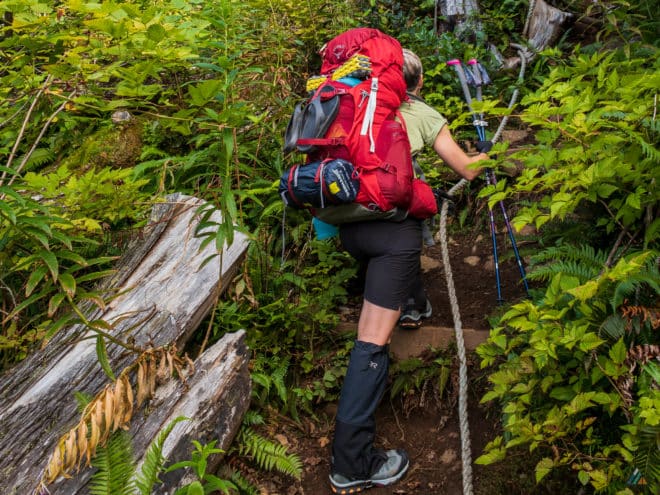
We stepped off the Cape Scott Water Taxi and onto the slippery intertidal rocks of Shushartie Bay. A few short metres past the trailhead sign and map board, we arrived at the first major obstacle on the trail. This steep ascent is strenuous with a loaded backpack and a week’s worth of supplies. The North Coast Trail is not a hike for beginners. Do your research and train both mentally and physically for the trip. You are more likely to be rewarded with a safe and successful journey.
- Day 1: Shushartie Bay to Skinner Creek. Distance: 9.49 km, Duration: 7:56’36, Peak: 252 m, Ascent: 338 m, Ascent time: 1:24’48, Descent: 309 m, Descent time: 1:57’10. Map
- Day 2: Skinner Creek to Cape Sutil. Distance: 9.25 km, Duration: 7:33’58, Peak: 118 m, Ascent: 299 m, Ascent time: 1:37’49, Descent: 284 m, Descent time: 1:22’33. Map
- Day 3: Cape Sutil to Irony Creek. Distance: 8.65 km, Duration: 4:43’55, Peak: 46 m, Ascent: 173 m, Ascent time: 1:01’14, Descent: 174 m, Descent time: 1:06’42. Map
- Day 4: Irony Creek to Laura Creek. Distance: 13.02 km, Duration: 5:33’31, Peak: 25 m, Ascent: 34 m, Ascent time: 0:18’38, Descent: 34 m, Descent time: 0:15’53. Map
- Day 5: Laura Creek to Nissen Bight. Distance: 7.67 km, Duration: 5:07’42, Peak: 77 m, Ascent: 149 m, Ascent time: 0:53’42, Descent: 139 m, Descent time: 0:48’10. Map
- Day 6: Nissen Bight to Cape Scott Lighthouse (return). Distance: 27.45 km, Duration: 9:38’14, Peak: 71 m, Ascent: 411 m, Ascent time: 1:48’48, Descent: 405 m, Descent time: 1:38’27. Map
- Day 7: Nissen Bight to Fisherman Bay. Distance: 0.95 km, Duration: 0:15’0, Peak: 20 m.
Data logged with Suunto 9 Baro.
Wildlife

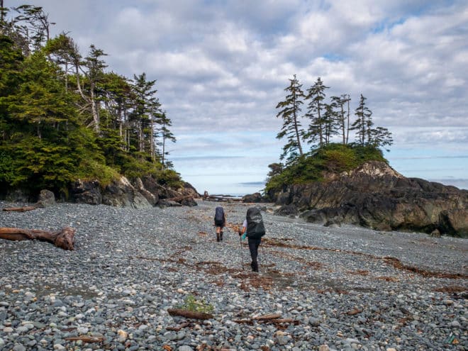
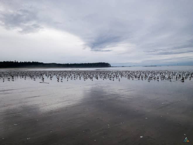
This trip was a coastal wildlife safari! A small black bear was sighted in the Shushartie Bay estuary as soon as we arrived. Lots of bear and wolf sign were present on the inland section between Shushartie Bay and Skinner Creek. Three black bears and four sea otters were spotted between Shuttleworth Bight and Laura Creek. Western toads, sundew, and Labrador tea thrived in the upland bog. The best sighting of the trip was on the morning of day five at Laura Creek. We watched two adult wolves with three pups play at sunrise on the tidal flats across the creek. Two more black bears emerged on the way out of camp. More bear sign was on display, including digs on the way to Cape Scott Lighthouse. Birds included eagles, ravens, ospreys, jays, sandpipers, hummingbirds, and massive flocks of seagulls on several beaches. The final leg of our trip comprised a fantastic two hour safari cruise through Goletas Channel back to Port Hardy. Marine wildlife viewing included sea otters with pups, porpoises riding the bow wake, and a minke whale.
Hazards
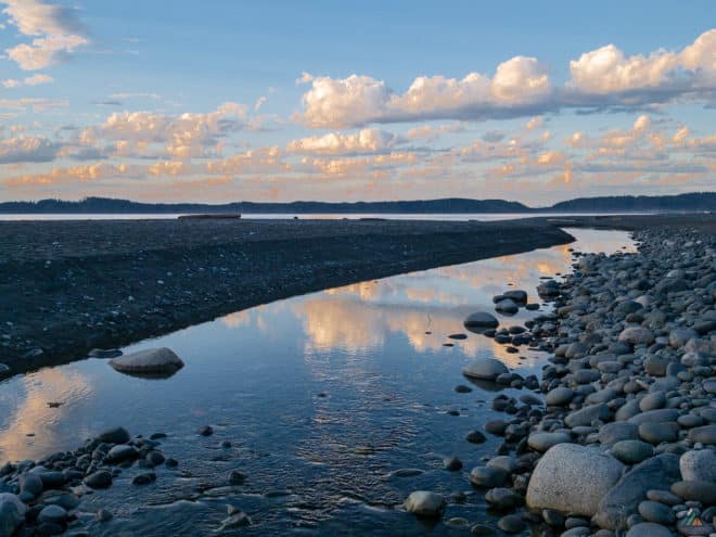
The usual coastal hazards included slippery rocks, roots, ropes, and mud. In addition to the heavy rain, thunder, and lightening storms later in the trip, we experienced an unusually high storm surge at Laura Creek. One of our tents was too low on the beach and required repositioning in the middle of the night. We noticed a few more tents being moved up the beach in the glow of headlamps. We later learned that several tents on Nels Bight got swamped that same night and heard many stories of rescued gear and sleeping hikers waking up to waves splashing into their vestibules. Check your tide tables and the weather forecasts. When you see high tides over 4.0 meters, position your tents way up in the forest line, especially when a storm is expected to blow in.
Shushartie Bay to Cape Scott Parking Lot – August 11–17, 2019
- Distance: 93 km
- Duration: 7 days
- Peak: 243 m
- Gain: 1086 m
- Route: CalTopo
Our third and final North Coast Trail and Cape Scott Trails trip of the season was another spectacular experience. Summer conditions presented us with dry trails, excellent tides, and different wildlife than earlier trips.
Weather
- Day 1: Shushartie Bay to Skinner Creek. Sky: broken, Precipitation: nil, Temperature: 14.2-20.6ºC, Humidity: 58.6-88.5%, Wind: calm, Pressure: 1017.0 mb.
- Day 2: Skinner Creek to Cape Sutil. Sky: overcast, Precipitation: light rain, Temperature: 14.0-17.8ºC, Humidity: 87.0-97.6%: Wind: light S, Pressure: 1019.1 mb.
- Day 3: Cape Sutil to Irony Creek. Sky: fog, Precipitation: nil, Temperature: 13.0-21.0ºC, Humidity: 79.1-100.0%, Wind: calm, Pressure: 1021.0 mb.
- Day 4: Irony Creek to Laura Creek. Sky: fog, Precipitation: nil, Temperature: 12.5-22.0ºC, Humidity: 75.2-100.0%, Wind: light NW, Pressure: 1023.7 mb.
- Day 5: Laura Creek to Nels Bight. Sky: broken, Precipitation: nil, Temperature: 14.7-21.2ºC, Humidity: 72.6-100.0%, Wind: light NW, Pressure: 1024.9 mb.
- Day 6: Nels Bight to Cape Scott Lighthouse (return). Sky: scattered, Precipitation: nil, Temperature: 14.1-23.4ºC, Humidity: 68.6-100.0%, Wind: light NW, Pressure: 1022.8 mb.
- Day 7: Nels Bight to Cape Scott Parking Lot. Sky: overcast, Precipitation: nil, Temperature: 14.2-22.3ºC, Humidity: 77.5-100.0%, Wind: light NW, Pressure: 1018.1 mb.
Data logged with Kestrel Meters Drop D3.
Route
- Day 1: Shushartie Bay to Skinner Creek. Distance: 10.44 km, Duration: 7:04’08, Peak: 246 m. Ascent: 314 m, Ascent time: 1:19’32, Descent: 297 m, Descent time: 1:20’30. Map
- Day 2: Skinner Creek to Cape Sutil. Distance: 11.11 km, Duration: 8:46’28, Peak: 110 m. Ascent: 216 m, Ascent time: 1:06’41, Descent: 210 m, Descent time: 1:00’12. Map
- Day 3: Cape Sutil to Irony Creek. Distance: 9.56 km, Duration: 5:52’19, Peak: 43 m. Ascent: 133 m, Ascent time: 0:46’33, Descent: 98 m, Descent time: 0:38’10. Map
- Day 4: Irony Creek to Laura Creek. Distance: 13.62 km, Duration: 5:56’14, Peak: 20 m. Ascent: 38 m, Ascent time: 0:03’53, Descent: 23 m, Descent time: 0:06’51. Map
- Day 5: Laura Creek to Nels Bight. Distance: 14.73 km, Duration: 5:48’01, Peak: 78 m. Ascent: 180 m, Ascent time: 0:56’01, Descent: 178 m, Descent time: 0:59’34. Map
- Day 6: Nels Bight to Cape Scott Lighthouse (return). Distance: 14.46 km, Duration: 6:14’24, Peak: 75 m. Ascent: 183 m, Ascent time: 0:30’05, Descent: 190 m, Descent time: 0:38’52. Map
- Day 7: Nels Bight to Cape Scott Parking Lot. Distance: 18.75 km, Duration: 5:29’49, Peak: 63 m. Ascent: 115 m, Ascent time: 0:34’26, Descent: 127 m, Descent time: 0:38’30. Map
Data logged with Suunto 9 Baro.
Wildlife

With spring fever being over, we heard fewer birds on this trip than earlier in the season. Bald eagles, hawks, sanderlings, ravens, crows, jays, and seagulls were with us on most days. Whales were not as abundant this week. A special marine mammal sighting from aboard the Cape Scott Water Taxi was two sea otters. These animals are making a visible comeback on the coastline of Vancouver Island, and we are always happy to see them. Other mammals of the trip included sea lions, squirrels, mice, mink, and a marten. The rain forest still contained large quantities of croaking frogs. Our black bear viewing occurred early in the morning at Nels Bight, on our day-trip to the Cape Scott Light Station.
Hazards
The warm summer weather meant that we took special care to avoid dehydration and heat exhaustion. Hiking later in the summer season meant that some of the creeks were now dry. We made sure to drink lots of water at camp when while resting. Our team bypassed the sketchy rope obstacle between Tripod Beach and Cape Sutil.
Shushartie Bay to Cape Scott Parking Lot – July 13-20, 2019
- Distance: 92 km
- Duration: 8 days
- Peak: 239 m
- Gain: 1224 m
- Route: CalTopo
We had a full group for our second Cape Scott Trails and North Coast Trail trip of the season. Excellent weather set the stage for a wonderful trip that also included dry trail conditions, perfect tides, and numerous animals!
Weather
- Day 1: Port Hardy to Shushartie Bay via Cape Scott Water Taxi. Sky: broken, Precipitation: nil, Temperature: 13.7-22.7ºC, Humidity: 54.6-94.6%, Wind: calm, Pressure: 1016.5 mb.
- Day 2: Shushartie Bay to Skinner Creek. Sky: scattered, Precipitation: nil, Temperature: 13.4-24.4ºC, Humidity: 50.2-95.2%, Wind: calm, Pressure: 1018.2 mb.
- Day 3: Skinner Creek to Cape Sutil. Sky: scattered, Precipitation: nil, Temperature: 13.3-20.7ºC, Humidity: 69.5-97.8%, Wind: calm, Pressure: 1016.8 mb.
- Day 4: Cape Sutil to Irony Creek. Sky: overcast, Precipitation: moderate rain, Temperature: 11.5-20.6ºC, Humidity: 73.9-100.0%, Wind: light SE, Pressure: 1015.5 mb.
- Day 5: Irony Creek to Laura Creek. Sky: broken, Precipitation: light rain, Temperature: 12.9-18.4ºC, Humidity: 100%, Wind: light SE, Pressure: 1012.3 mb.
- Day 6: Laura Creek to Nels Bight. Sky: overcast, Precipitation: light rain, Temperature: 9.3-23.6ºC, Humidity: 53.0-100.0%, Wind: light W, Pressure: 1017.5 mb.
- Day 7: Nels Bight to Cape Scott Lighthouse (return). Sky: scattered, Precipitation: nil, Temperature: 8.3-26.7ºC, Humidity: 38.8-100.0%, Wind: calm, Pressure: 1021.7 mb.
- Day 8: Nels Bight to Cape Scott Parking Lot. Sky: scattered, Precipitation: nil, Temperature: 7.9-22.8ºC, Humidity: 50.4-95.3%, Wind: light W, Pressure: 1021.6 mb.
Data logged with Kestrel Meters Drop D3.
Route
- Day 1: Port Hardy to Shushartie Bay via Cape Scott Water Taxi.
- Day 2: Shushartie Bay to Skinner Creek. Distance: 10.39 km, Duration: 7:09’56, Peak: 239 m. Ascent: 316 m, Ascent time: 1:11’21, Descent: 328 m, Descent time: 1:17’46. Map
- Day 3: Skinner Creek to Cape Sutil. Distance: 10.78 km, Duration: 8:18’25, Peak: 114 m, Ascent: 259 m, Ascent time: 1:02’46, Descent: 224 m, Descent time: 0:55’47. Map
- Day 4: Cape Sutil to Irony Creek. Distance: 8.95 km, Duration: 4:34’53, Peak: 42 m, Ascent: 130 m, Ascent time: 0:23’01, Descent: 126 m, Descent time: 0:40’48. Map
- Day 5: Irony Creek to Laura Creek. Distance: 13.64 km, Duration: 6:26’32, Peak: 20 m, Ascent: 39 m, Ascent time: 0:13’38, Descent: 47 m, Descent time: 0:20’46, +/- 115 m). Map
- Day 6: Laura Creek to Nels Bight. Distance: 14.4 km, Duration: 5:58’48, Peak: 73 m, Ascent: 184 m, Ascent time: 0:49’36, Descent: 207 m, Descent time: 0:47’37. Map
- Day 7: Nels Bight to Cape Scott Lighthouse (return). Distance: 15.27 km, Duration: 6:22’47, Peak: 72 m, Ascent: 170 m, Ascent time: 0:37’17, Descent: 174 m, Descent time: 0:38’27. Map
- Day 8: Nels Bight to Cape Scott Parking Lot. Distance: 19.00 km, Duration: 5:49’44, Peak: 84 m, Ascent: 126 m, Ascent time: 0:43’44, Descent: 97 m, Descent time: 0:32’04. Map
Data logged with Suunto 9 Baro.
Wildlife
We were lucky to experience abundant marine mammal sightings. Our team observed whales daily, including a humpback whale that swam around Shushartie Bay for nearly an hour. Other marine mammals included sea lions and harbour seals. As always, birds were daily companions, including Swainson’s thrushes, varied thrushes, hermit thrushes, eagles, ravens, hummingbirds, crows, Steller’s jays, robins (a type of thrush), Pacific wrens, and hunting ospreys. We observed a lot of bear activity during the trip. A black bear foraged in the estuary at Shushartie Bay on our first day. Later in the trip, we watched numerous black bears search for food in the seaweed piles near Laura Creek. Smaller omnivores who caught our eye included squirrels, mice, and a mink. The overland bog and rainforest zones obscured frogs from sight, but we heard their croaking sounds.
Hazards
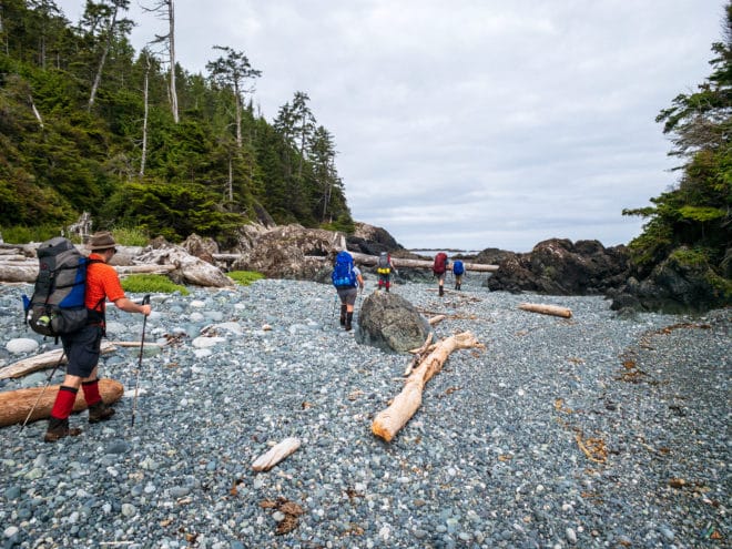
The Cape Scott Trail systems and North Coast Trails are remote and require solid trip planning. The main challenges to avoid this week included heat exhaustion and dehydration, especially when hiking the long beach sections. The team drank lots of water at camp and during rest periods. Sun protection in the form of sunscreen and hats, as well as breaks in the shade, helped keep heat problems at bay. We were also happy to use an intertidal route and avoid the unpredictable rope down the landslide rib between Tripod Beach and Cape Sutil.

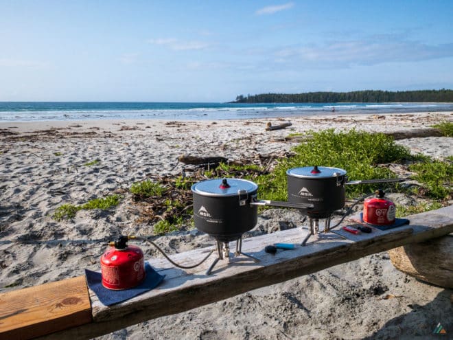
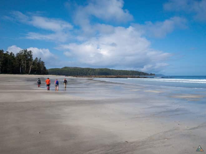
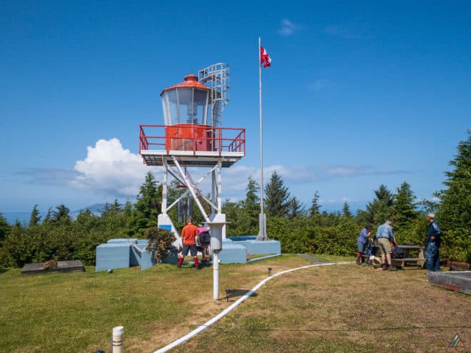
Cape Scott Parking Lot to Shushartie Bay – June 8-15, 2019
- Distance: 89 km
- Duration: 8 days
- Peak: 247 m
- Gain: 1148 m
- Route: CalTopo
In late spring, Mike took a solo opportunity to hike the Cape Scott Trails and North Coast Trail. This eight day / seven night trip included his first successful completion of North Coast Trail in the eastbound direction from Nissen Bight to Shushartie Bay. Shakedown trips allow Mike to focus on gear testing, sharpen-up physically, and prepare mentally for the full guiding season ahead.
Weather
For the first few days of the trip, winds from the south and light precipitation made for unsettled weather. Views from the Cape Scott Light Station on June 9 showed the full fury of crashing waves at the cape. By Jun 11, the wind switched to the northwest and the rain stopped. Warm temperatures created the usual marine fog, which usually burned off in the afternoon. Periodic hot sunny beach weather was welcome in the afternoons before the mist returned to cool the evenings.
Route
- Day 1: Cape Scott Parking Lot to Guise Bay. Distance: 22.80 km, Duration: 6:49’37, Peak: 84 m, Ascent: 153 m, Ascent time: 0:40’41, Descent: 163 m, Descent time: 0:41’04. Map
- Day 2: Guise Bay to Cape Scott Lighthouse to Nissen Bight. Distance: 18.44 km, Duration: 6:59’11, Peak: 78 m, Ascent: 211 m, Ascent time: 0:53’22, Descent: 208 m, Descent time: 0:42’15. Map
- Day 3: Nissen Bight to Irony Creek. Distance: 20.86 km, Duration: 9:21’00, Peak: 74 m, Ascent: 159 m, Ascent time: 0:37’13, Descent: 165 m, Descent time: 0:37’50. Map
- Day 4: Rest day.
- Day 5: Irony Creek to Nahwitti River. Distance: 14.19 km, Duration: 7:39’19, Peak: 121 m, Ascent: 265 m, Ascent time: 1:22’22, Descent: 264 m, Descent time: 1:14’50. Map
- Day 6: Rest day.
- Day 7: Nahwitti River to Shushartie Bay. Distance: 12.76 km, Duration: 6:19’56, Peak: 247 m, Ascent: 360 m, Ascent time: 1:35’36, Descent: 353 m, Descent time: 1:20’18. Map
- Day 8: Shushartie Bay to Port Hardy via Cape Scott Water Taxi.
Data logged with Suunto 9 Baro.
Wildlife
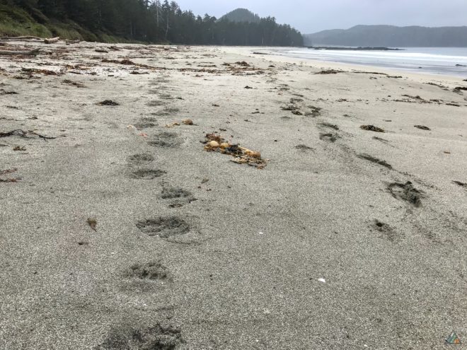
Wild animals were constant companions on the Cape Scott Trails and North Coast Trail. Mike viewed black bears at the following locations: Fishermans Bay, the small pocket beaches west of the Stranby River, and the low tide zone of the Shushartie Bay estuary. Because Mike camped at Shushartie Bay the night before his water taxi departure, he observed the local animals over a period of several hours. In addition to different-sized bears in the estuary, Mike sighted a wolf at close range on the rocks near the BC Parks trailhead sign. The canine had killed a deer, and was feeding. After the wolf returned to the forest, eagles dropped onto the carcass to grab some nutrients. The bears and wolves disappeared and reappeared several times over the evening. Sometimes they foraged in the same areas at the same time. Westbound backpackers do not typically spot land mammals in Shushartie Bay. When trips start at this marine trailhead, the water taxi engine noise temporarily pushes them into the forest.
Hazards
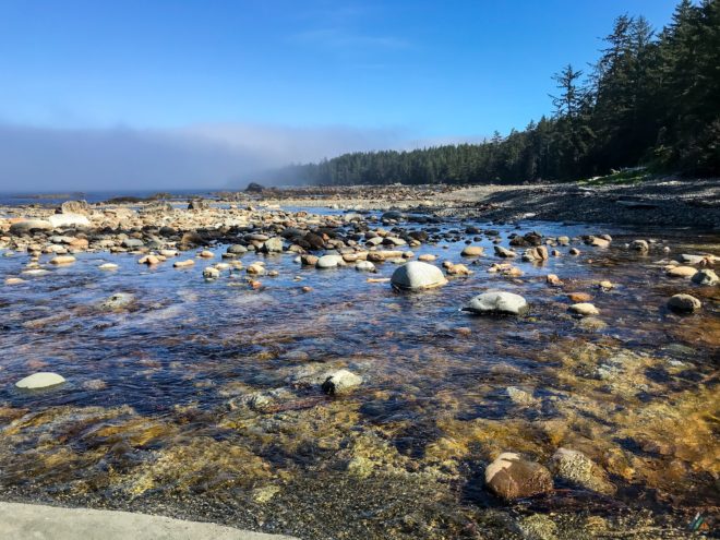
The North Coast Trail is a remote and rugged wilderness zone. Solo hiking requires excellent trip planning, a high level of fitness, extensive knowledge of the route, and a solid emergency plan. Mike used a Garmin inReach Mini device to upload his track in real time and communicate with Lara via texts at predetermined intervals. The Cape Scott Trails were in excellent condition and the North Coast Trail was in better shape than Mike anticipated. The famous mud was mostly dry in texture, with no deep holes for sinking up to the knees. BC Parks continues to do a fantastic job with trail maintenance activities.
Shushartie Bay to Cape Scott Parking Lot – July 22-28, 2018

- Distance: 83.6 km
- Duration: 7 days
- Peak: 245 m
- Gain: 1289 m
- Route: CalTopo
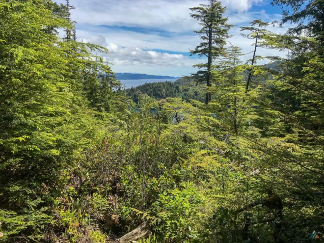
Our 2018 North Coast Trail trip was excellent in a number of ways. Our team was strong and worked together well. The weather was perfect the entire week, with only a few showers on the first day. We completed the official BC Parks North Coast Trail PLUS the Cape Scott Trail system with the historic Lighthouse as an extension…almost 84 km in total! Creek levels were decent and water was easy to find in all locations. Birds dominated the wildlife scene as usual and we were always glad to see so many of them. Wolf tracks were everywhere, letting us know that we were not alone as we slept through the night. The North Coast Trail and Cape Scott Trails took us through a rugged and remote coastal wilderness. It was a wonderful experience to immerse in the natural world, see wild animals in their homes, and feel the elements of summer ocean weather.
Day 1: Shushartie Bay to Skinner Creek
- Distance: 8.9 km
- Duration: 7 h 59 min
- Peak: 245 m
- Gain: 359 m
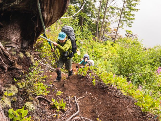
The trail section from Shushartie Bay to Skinner Creek was 100% inland and 100% hard. We had light rain for the day, coating everything in water. Our first step off the Sea Legend 1 was onto a slippery, kelp-covered rock. The challenge ramped up from there as our team climbed up a steep embankment with the aid of a rope. Our backpacks were heavy with seven days of food. The trail section went on for hours, with obstacles such as slippery logs, staircases, thick bushes, slick roots, broken boardwalks, and deep mud to keep things interesting. Every step required intense mental focus. We took short breaks in the open bog areas to hunt for carnivorous sundew flowers. When we finally broke out of the rain forest and put feet on the flat sandy beach, a feeling of euphoria flooded our bodies. Finally we could walk with easy flow! Skinner Creek Camp was busy in the core zone, but our group set up camp east of the creek. There are always pockets of solitude at these designated campsites. You may have to walk a little farther to the food locker or water source, but an extra leg stretch is always good. We were lucky with excellent marine wildlife sightings earlier in the day. Humpback whales, porpoises, seals, and a sea otter joined us on the water taxi ride. Otherwise we heard our coastal bird friends: Pacific wrens, hermit thrushes, ravens, and eagles. Sea gulls love bathing in Skinner Creek, so we collected water far upstream!
Day 2: Skinner Creek to Cape Sutil
- Distance: 8.9 km
- Duration: 7 h 57 min
- Peak: 113 m
- Gain: 280 m
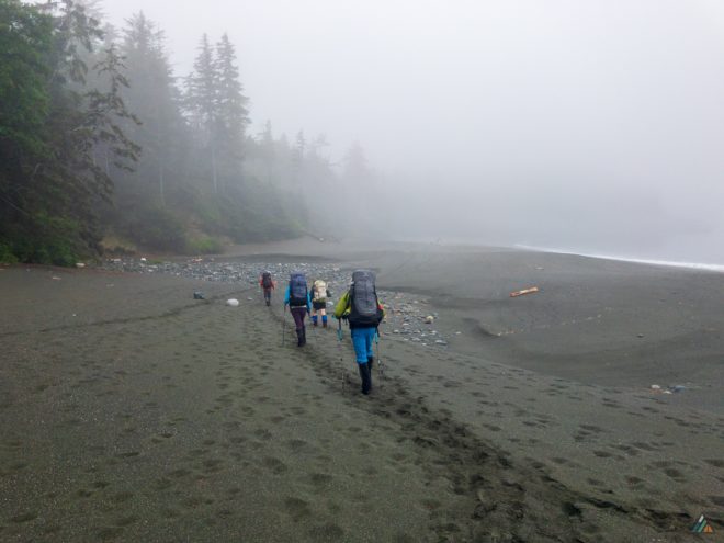
The team was delighted to hike along the beach for the first stretch out of Skinner Creek Camp. Water and storms shaped a massive berm of cobbles and pebbles with dry rivers of boulders. Our strolling happiness was short-lived as we scrambled up a rope into the dense jungle. Today’s forest sections were less boggy but offered more mud. Huckleberry bushes and berries were tempting, but we left the fruits for the bears. The air was warm and humid and we ditched jackets. Our first cable car adventure occurred at wide, tidal Nahwitti River. After waiting our turn and crossing in teams of two, we entered the forest again. A fallen tree had destroyed the long staircase to Tripod Beach, necessitating an alternate scramble route. There was more rope work today as we hiked between pocket beaches. The most challenging obstacle was the roller coaster overland section near Cape Sutil. We enjoyed our final descent through the forest, watching the trees for breaks and views of the beach. First we could hear the ocean, then smell it. Soon we saw the blue and fog appear through the trees. A cool wind accompanied our approach. Jubilation washed over us once again as our feet hit the hard packed sand at Cape Sutil. The grip of mental focus released as we transitioned into recovery mode. Some of us took advantage of the cold ocean and washed off the mud. Wildlife viewing included several eagles, hermit thrushes, Pacific wrens, Steller’s jays, a loon at camp, and jumping fish!
Day 3: Cape Sutil to Irony Creek
- Distance: 7.7 km
- Duration: 5 h 52 min
- Peak: 34 m
- Gain: 120 m
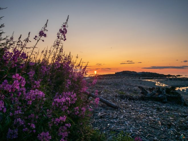
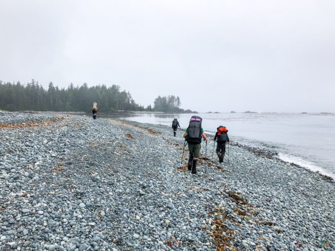
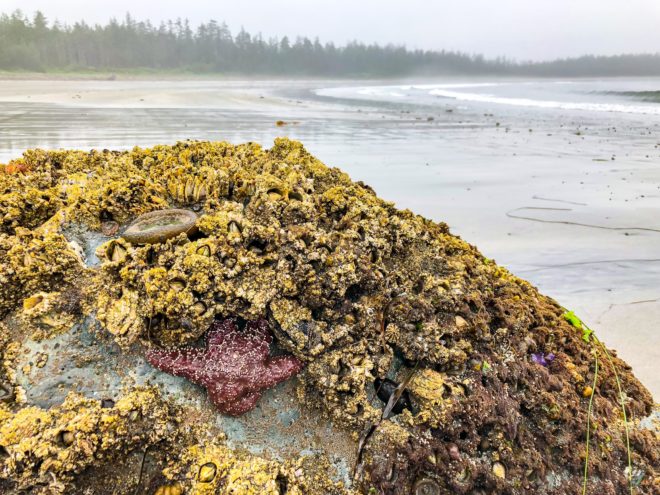
Pocket beaches dominated our day, with shorter overland sections to navigate. A solitary orange sea star glowed on the rocks near Cape Sutil Camp as we hiked into the forest, the first wildlife of the day. The weather was cool, foggy, and grey. The silver colour of the water blended with the sky, eliminating the horizon. It was a classic west coast day with tree silhouettes in the fog. The only organism that broke up the grey was the dark brown bulbs of bull kelp. The real action was under the surface, where marine animals lived their lives out of sight as we hiked along. Past storms shaped the coastal trees around us. Geographic features such as a tombolo and strange basalt rocks were highlights during this section. A long beach march took us towards Irony Creek Camp. Purple fireweed near the east end of Shuttleworth Bight was our beacon. The bight is excellent for swimming in the afternoon sun when the tide rises over the warm sand. No one felt like going in the water that night. The tide was out, the surf high, and the air cold. We opted for warm and cozy recovery activities instead. Animals sighted that day included small frogs on the beach, eagles, sea gulls, and ravens on the big Shuttleworth rock. Low tide revealed a bubbly boulder field and a globe-rock encrusted with barnacles, mussels, sea stars, and chitons.
Day 4: Irony Creek to Laura Creek
- Distance: 12.7 km
- Duration: 8 h 35 min
- Peak: 11 m
- Gain: 25 m
We love the warm-up walk along Shuttleworth Bight with 2 km of hard flat sand first thing. Our second cable car obstacle transported us across the Stranby River. A pretty salt marsh and smooth trail section with pocket beaches followed. Otherwise, the rest of day involved hiking along the coastline. Christensen Point was an important and scenic landmark. We took an extra long snack break there to prepare for the long coastal section to Laura Creek Camp. The coastline is flat, but challenging in its own way. The mix of sand, pebbles, cobbles, and sloped angles drained our energy. We were grateful for cloud-cover and a thin yellow-egg sun, otherwise this section would have been exposed and hot. Those of us that went into the ocean at Laura Creek Camp were treated with rocky tide pool “bathtubs” plus sea weed scrubs and giant red rock crabs for company. The sun came out at last so we could dry our bodies and gear. The best wildlife experience of the day was listening to a pack of howling wolves near camp! We saw lots of wolf tracks and bear sign (ripped up skunk cabbage roots and leaves). Eagles were always present along the way, with some ducks paddling in the pocket beaches. A BC Parks Facility Officer and his team were camping at Laura Creek in between their trail maintenance work.
Day 5: Laura Creek to Nels Bight
- Distance: 13.3 km
- Duration: 6 h 54 min
- Peak: 71 m
- Gain: 200 m
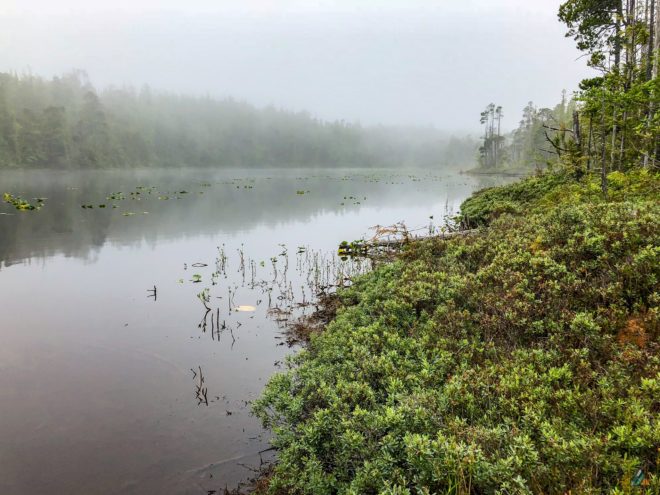
Today was an important accomplishment as our team finished the official 43.1 km length of the North Coast Trail! The energy and spirit of the group improved after we achieved this goal at Nissen Bight. It meant that harder hiking was behind us and we could enjoy more open and scenic sections. The highlight of today’s overland track was a brilliant open bogland with thousands of pink sundew plants. Laughing Loon Lake was haunting and beautiful in the fog. A pair of mating loons laughed when we were there! After a celebratory rest at Nissen Bight, we pressed onward to Nels Bight for the night. The terrain changed from beach to forest to grassy meadow near Hansen Lagoon. This historic area was the site of a past Danish settlement. Artifacts and evidence of this time were present and highlighted with interpretive plaques. Our camp at Nels Bight was incredible. We were happy that the beach was almost deserted, unusual for this popular zone. Wolf and bear tracks covered the sand. We enjoyed a spectacular sunset after dinner before the moon rose above the forest canopy and the fog cooled off the sky for the night. New birds observed that day included: Anna’s hummingbirds, cedar waxwings, chickadees, and loons. Of course we spotted the usual eagles, ravens, and Steller’s jays!
Day 6: Nels Bight to Cape Scott Lighthouse (day-trip)
- Distance: 14.5 km
- Duration: 7 h 28 min
- Peak: 66 m
- Gain: 186 m
Our day-trip to the Cape Scott Lighthouse is always a highlight for a strong group! It was a chance for us to leave our camp set up and hike with lighter day-packs. Our walk was nice and easy, with sandy beaches, plank roads, and wide trail. Fog and mist were our friends once again, cooling the air and setting the scene. Experiment Bight was a highlight with the best wolf track examples of the whole trip! Guise Bay was a jewel, with blue-green water that beckoned a swim. Sand dunes with grasses were a beautiful feature of this area, complete with more Danish artifacts. Old fence posts sagged under their own decay. We tried to hunt down an old grave site but were not successful. On a side trail from the plank road, we visited a tiny secret beach with tide pools and rock formations. A curious harbour seal swam into the little bay and watched us until we disappeared into the forest. The trail got steeper as we hiked up to our main objective: the Cape Scott Lighthouse. The usual keepers were on holidays, so there was no pop for sale. The fog prevented any epic views, but we still enjoyed the light station structures and reading the guest book. Our team encountered only a few other humans on the way back to Nels Bight. It was a pleasure to have camp already set up. We enjoyed our final dinner together and evening activities included walking the bight, reading, or stretching our bodies.
Day 7: Nels Bight to Cape Scott Parking Lot
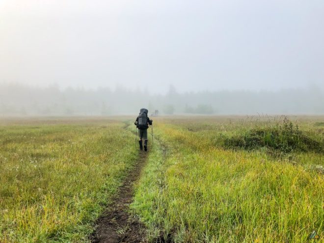
- Distance: 17.6 km
- Duration: 5 h 30 min
- Peak: 73 m
- Gain: 119 m
The egress to the Cape Scott Trailhead was pleasant and efficient! The weather started out foggy and cool, but transformed into sunny and warm. We backtracked from Nels Bight to the Junction back to the trailhead. It was a long march south through forest, meadow, old corduroy road, and new boardwalk planks. Mud levels were low. The trail was easy and open for the most part, with a few rough and bumpy sections to keep us focused for a bit longer. We had a nice snack break in the hot sun at Eric Lake and chatted with some day-hikers. The crowds got thicker as we closed in on popular San Josef Bay. We even saw a group with a wheelbarrow full of supplies trundling down to the beach! The last few hundred metres were flat and gravelly. Our first welcome sight was John Tidbury and the famous North Coast Trail Shuttle. After a quick clothing change, John whisked us away to the cozy Scarlet Ibis Pub in Holberg. We filled our hungry bellies, shared stories of the trail with other hikers, and learned trivia about the Port Hardy area from John. The shuttle took us all back to Port Hardy where warm showers and more food awaited. We really could not have asked for a better North Coast Trail experience! Excellent weather, an awesome team, lots of physical challenges, and beautiful scenery. We loved this trip!
Cape Sutil to Cape Scott Parking Lot – May 27-31, 2016
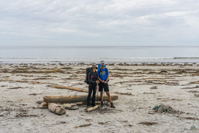
- Distance: 64 km
- Duration: 5 days
- Peak: 86 m
- Gain: 1043 m
- Route: CalTopo
Day 1: Cape Sutil to Irony Creek
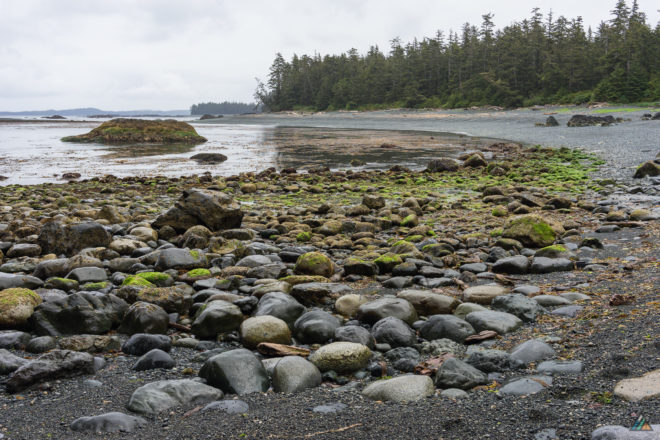
Excited to start the North Coast Trail, we boarded the Cape Scott Water Taxi at 0634 h at the Port Hardy marina and motored to Cape Sutil. Captain George loaded our packs and commented on how light they were. The wildlife viewing started right away! We saw eagles, porpoises, and a black bear foraging on the beach. Our team arrived to Cape Sutil at 0758 h. Two hikers from Holland were waiting for the water taxi to take them back to Port Hardy. They would be the only other humans we would see for three days!
We disembarked the Sea Legend I and began our hike. Our group caught the low tide route the entire way to Irony Creek. The boulders, pebbles, and tide pools along this stretch were spectacular. We surprised a lone wolf feeding in the intertidal zone east of the tombolo. He ran off into the woods when he noticed we were on his beach!
After 7.8 km we arrived at Irony Creek Camp. We sighted our second lone wolf at Shuttleworth Bight. The wolf chased a deer into the woods, across Irony Creek, and back out onto the beach. The deer jumped into the ocean and swam across the bay. We watched the wolf wait for the deer to return to shore, but the deer was smarter.
Light showers turned the cool evening damp, signalling an end to the evening entertainment. We spent some time learning to rig the group tarp. Before dinner, we had a stove operation lesson and after dinner we had a food storage lesson. By 2100 h, the temperature was back to 10 C and the pressure dropped slightly to 1019 hPa. We happily retreated to the sheltered Irony Creek tent pads for the night.
Day 2: Irony Creek to Laura Creek
After a leisurely breakfast and camp breakdown, we packed up and hiked Shuttleworth Bight by 1000 h. The skies started to clear and we enjoyed cruising the wide open flat sand towards the west end of the beach.
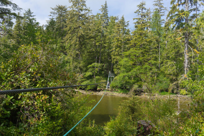
We arrived at the Stranby River cable car crossing at 1130 h. Cable car rides are highlights of the trail! They offer great views down the river banks from the middle of the span. We took a break at the first pocket beach to dry our gear in the sun. As always, the sand was peppered with wolf tracks. Osprey and sea lions made appearances while we rested.
After a long beach slog, we arrived at Christensen Point and spotted camp 3 km away. We arrived at our destination, exhausted from hours of slogging along the coastal route. Our team enjoyed dinner at Laura Creek and retired to our tents.
Day 3: Laura Creek to Nels Bight
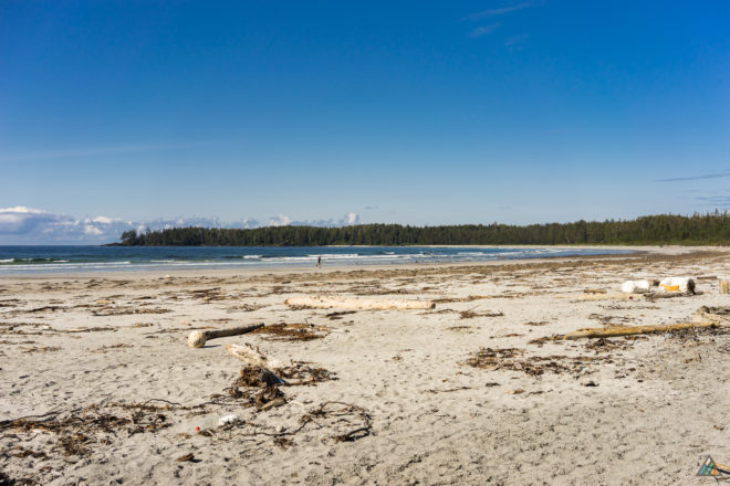
Our group departed Laura Creek at 0945 h and hiked back into the rainforest. A flight of stairs made the ascent much easier. The big tree that fell years ago across the trail was still there…a project low on the BC Parks maintenance list! We arrived at Dakota Creek at 1050 h and stopped to fill our bottles with clear fresh water.
The extensive boardwalks of Laughing Loon Lake made a perfect spot for a long lunch. We dried our gear under sunny skies in the clearing beside the lake. We cruised through more easy boardwalk over the upland bog, checking out the bonsai ponderosa pine (a.k.a. broccoli trees) and Nahwitti Cone above the ocean below.
We descended to Nissen Bight by 1314 h and enjoyed watching whales off the beach. This spot marked the end of the official North Coast Trail. Now we were on the Cape Scott Core Area Trails. After hiking Nissen Bight, we entered the forest again. Artifacts near Fisherman Bay included the remains of an old wharf where the Danes tried (and failed) to ship supplies. We also passed the Community Hall ruins and an old well. There’s a lot of artifacts leftover from the settlement attempts and these make for great history interpretation.
After hiking through the meadows at Hansen Lagoon, we arrived at Nels Bight by 1540 h. Twelve school kids and two teachers from White Rock were camping there. The weather was clear and calm, making for an excellent sunset dinner by the sea. Our team was beat and fell asleep to the surf crashing on sand.
Day 4: Nels Bight to Cape Scott Lighthouse (day-trip)
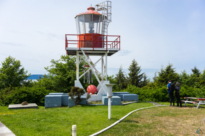
Today we left our backpacking gear at Nels Bight Camp and hiked out to the Cape Scott Lighthouse. We departed camp at 1018 h and enjoyed sunny white sand beaches and passed only one other hiker. Beautiful areas included Bowen’s Beach, Experiment Bight, and the sand dunes of Guise Bay. The First Nations crossed this narrow peninsula, portaging canoes to avoid treacherous waters around the cape.
After 6.6 km of easy hiking with light day packs, we arrived at Todd and Harvey’s place at 1237 h. We enjoyed a picnic and views off the lighthouse tower. Our weather was a hot and sunny 22 C now! On the way back, we passed a hiker who saw a bear at Nels Bight. Our group made lots of noise on the way back! Another beautiful sunset enhanced our dinner by the sea.
Day 5: Nels Bight to Cape Scott Parking Lot
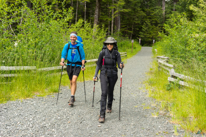
An alarm was set for our final day to hike 17 km to the Cape Scott Trailhead on time to meet North Coast Trail Shuttle van. We departed Nels Bight at 0833 h and booted the easy route all the way to the trailhead in under 5 hours. Our group was a team of horses back to the barn…excited for pub food at the Scarlet Ibis and hot showers back in Port Hardy.
John Tidbury was waiting at the trailhead with his camera and we got a van tour of the big tree. Everyone stayed a final night at the North Coast Trail Backpackers Hostel with our gracious hosts Rob and Anne. One more pub dinner was eaten in Port Hardy over great conversation, reminiscing about the trip of course!
Nahwitti River to Cape Scott Parking Lot – July 19-25, 2015
- Distance: 49 km
- Duration: 7 days
- Peak: 123 m
- Gain: 964 m
- Route: CalTopo
Before I start a backpacking trip, I always wonder what the adventure will feel like. It’s a mixture of the physical and mental…both how my body will feel in new terrain and the emotions the wild place will generate. The North Coast Trail in Cape Scott Provincial Park was by far the best backpacking trip of my life. The experience felt challenging, rugged, free, spontaneous, and wild…remote, but not lonely. Who could feel lonely in the company of so many creatures: whales, wolves, bears, eagles, ravens. I felt alive, safe, young, strong, confident, humbled, lucky, awestruck. When I was a kid, I wanted to be a marine biologist. That dream didn’t happen, but last week I immersed myself in a rich coastal environment that felt like home. It was a real joy to show our two guests the wildest coast of Vancouver Island. Representing Spain and Germany, the ladies loved the frequent whale sightings best of all. We all enjoyed the wildlife, challenging terrain, fresh air, rope obstacles, mud puddles, pebble beaches, campsites, and tasty food. I packed along Maria I. Bremner’s excellent new guidebook: Cape Scott and the North Coast Trail: Hiking Vancouver Island’s Wildest Coast. (Note: the pages are not water-proof even though I thought they might be). Her descriptions of each trail section are very accurate and the fascinating history of the area is well-researched. I defer to this book for descriptive trail details.
Day 1: Port Hardy to Nahwitti River
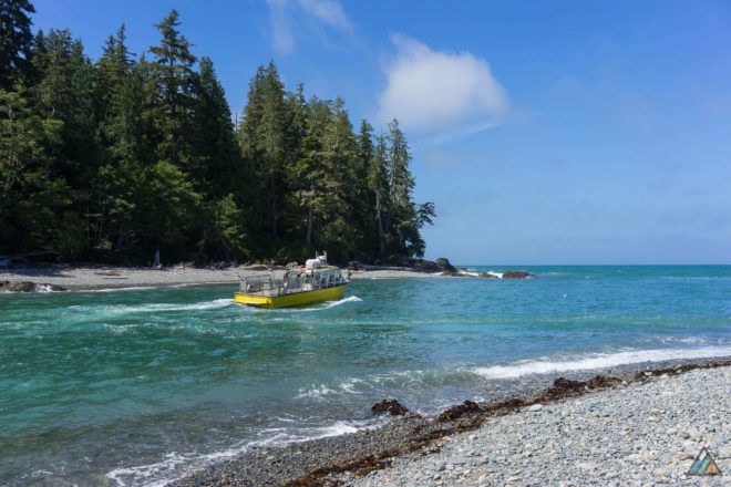
Today was all about being transported from the urban to the wilderness. There was the feeling of anticipation as we hung out near the dock, waiting to board the Cape Scott Water Taxi. The day was sunny and hot, eagles and ravens were talking to each other, and we were the cleanest we would be for a week. The boat trip was excellent, with blue skies and epic views of Vancouver Island’s northern coastline. We saw a pod of four brightly coloured kayakers paddling west, braving the rolling seas. George, the captain, was a total professional. He piloted the taxi right into the mouth of the Nahwitti River at high tide to drop us on the beach. The wind made the sea green and choppy, but once the boat was up the river a little, everything was calm. We jumped off the bow and helped each other off-load our full packs. After George motored away, the only sounds were croaking raven friends, wind in the trees, and crashing waves. We were now in a true wilderness, remote and pristine. Our group set up camp, shared our first meal, and relaxed for the rest of the day. Nahwitti Beach was pebbly and rough, with lots of wood thrown up from winter storms. Obtaining drinking water was a small adventure. Tidal sea water mixed with the river at the mouth, so we hiked upstream for fresh water. In the shadowy forest, we heard a tree snap, followed by a loud crash. We probably scared a bear, said the Parks Facility Operators that were camping there too.
Day 2: Nahwitti River to Cape Sutil
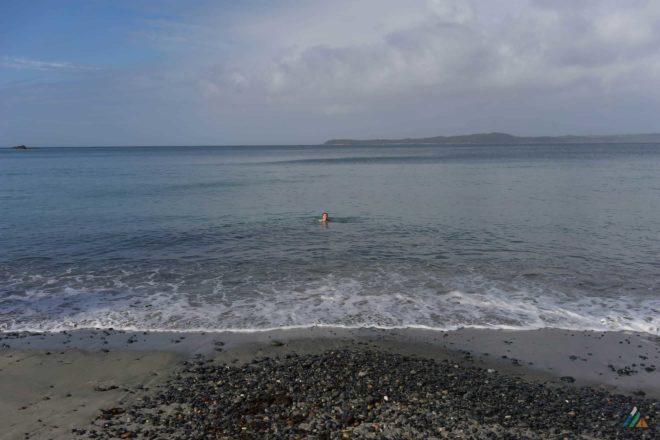
On our warm and misty second day, we finally got our hike on. We took our first cable car of the trip across the Nahwitti River…the water level so low we could have forded it. Our group spent most of the day in the forest, bumping up and down over logs, single-track, and muddy roots. Mike experienced the trail during the exact same week in 2014, and noted how dry this year was in comparison (sorry Calgarian team). He graded the mud puddles as a “level 0.5 out of a possible 10”. The skunk cabbage carpeted the swampy parts with impossibly massive wet green leaves. Spirits were high and bodies were strong as we navigated several steep slopes with sturdy helper ropes. Eventually we descended a huge staircase to return to beach hiking, where we easily passed a tidal problem at Tripod Rock. The biggest obstacle of the day was a steep hill near Cape Sutil. A rope helped us climb up to a thin ridge where we had to immediately descend down again. Mike met us at the mid-point of our descent where we removed our packs for him to lower them down. When it was my turn, I did my best to confidently descend like I’d done it a million times before. Cape Sutil Camp (6 km) was located on a beautiful sandy beach. After we pitched our tents, a little splotchy gray whale swam close to shore, quietly spouting. This was a special moment for our Spanish guest who had never seen whales before. She became our expert spotter for the rest of the trip.
Day 3: Cape Sutil to Irony Creek
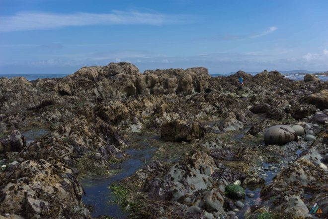
This day of hiking was the most joyful because of the varied terrain. There were showers overnight, but the drips stopped before we exited the tents. Our route comprised an endless series of small, gorgeous crescent beaches and short forest sections. Wolf tracks and bear tracks were frequent marks along the sandy shore. Stellar’s jays squawked at us as we travelled through their homes. Water was trickier to obtain that day; many of the creeks had dried up or had very low flow. The last stretch was the most difficult with beach-walking on cobbles and pebbles. The reward for our effort was the gorgeous Shuttleworth Bight…a huge and expansive sand beach similar to Long Beach on the west coast. John Baldwin’s map is so accurate that we saw whales exactly where he indicated! Our group watched constant spouts that afternoon, with a few whales coming right into the bight on high tide…rolling happily around in the waves. We liked Irony Creek Camp (13 km), with tent pads among pretty Sitka spruce trees and a good water source. Before dinner, the sun showed its yellow face and a few of us went swimming with the whales. It felt so good and cleansing to be in the cold ocean, body-surfing the waves, sand scouring my muddy skin. I felt happy like our cetacean friends. The sky was cloudy with no visible sunset, so we hit the sleeping bags early to read and rest.
Day 4: Shuttleworth Bight Layover
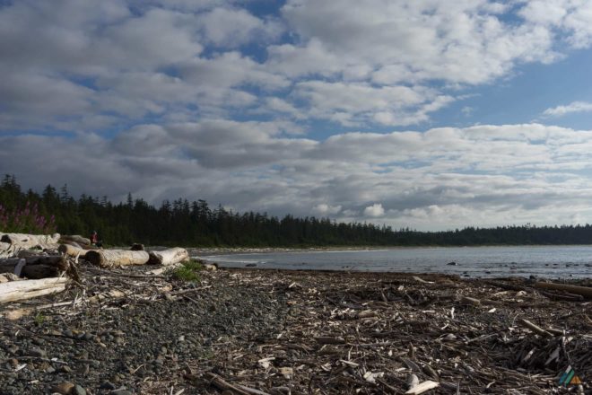
Shuttleworth Bight was so lovely that we decided to spend a sunny rest day here. Everyone got a chance to sleep in and have a leisurely coffee and breakfast. The tide was out, so I walked to a giant rocky area full of tide pools and surge channels. I saw a strange deep pool filled with a miniature kelp forest and hundreds of pale jellyfish. Sitting there for a while, I really started to feel this special place and completely relax into the wilderness. There was a lone cormorant (not the helicopter!) sitting on the rocks nearby. He sat there for the entire day, sometimes opening his wings, mostly just resting and watching. Some of us hiked up and down the entire length of the sand, watching the whales and the sandpipers. Others took naps on the beach or in the forest. I made it all the way to the Stranby River, noticing a huge quantity of sand and seaweed far upstream. After explorations, the group shared a late picnic lunch on the logs while a raven watched from the trees above. When the tide came in, we jumped into the cold ocean again, refreshing our bodies in the waves. The sky was clear and we enjoyed a spectacular sunset after dinner, slow and orange. I saw the cormorant sitting there still, watching the sea from his home. The tide dropped for a second time, revealing the rocky treasures below, and trapping the jellyfish once again.
Day 5: Irony Creek to Laura Creek
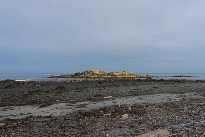
Today was a big day on challenging beach terrain, so we got an early start. After we left the flat sand of Shuttleworth Bight, we quickly arrived at our second cable car over the Stranby River. Once we were out of the forest, it was all about kilometres of beach, with cobbles, tide pools, sand, pebbles, bleached eelgrass, and rocky shelves. There were tons of opportunities for amazing photos. Showers sprinkled on and off all day, but the cool air was perfect for hiking. We followed the wolf tracks once again, and even saw a small black bear foraging in the sandy eelgrass. All of us rested on our poles for a while, excitedly watching him comb the beach before he saw us and ran into the forest. Whales spouted all the time now, in fact they became our most common wildlife sighting. Our tired legs and feet were relieved to finally arrive at the expansive Laura Creek Camp (25 km). The evening was misty and windy, so we claimed cozy tent pads in the forest rather than camp on the cold beach. Previous campers had erected a rustic kitchen area, complete with windbreak, log benches, and storm-debris sculptures. Our group gathered with other backpackers to share stories of the trail over a (legal fog-zone) campfire and hot dinner.
Day 6: Laura Creek to Nissen Bight
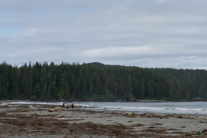
The raven alarm clocks woke us up. We heard tons of birds in the forest that morning: ravens, eagles, pacific wrens, hermit thrushes, and robins. More music than any other day on the trail. The highlight of today was the gorgeous, expansive, emerald upland bog we traversed through. Eventually, we descended to glittering Nissen Bight (32 km)…another beautiful sandy long beach. There were two camps, but we hiked west to the more sheltered one. There was lots of time for photos and relaxing. After setting up, Mike and I hiked the kilometre back to the water source near the eastern camp, collecting eight litres for our group. On the peaceful trip back, we saw a lone gray whale close to shore, rubbing herself on the bottom rocks. She was so close, we felt like we could touch her. This was the last whale we saw on our trip…and Mike and I saw her together. In a quiet moment doing a camp chore, crunching along the pebbles, we felt a connection with that lovely ocean being. During dinner that evening, a sea otter surfed the green waves. Sunset and mist made an incredible double rainbow that spanned the forest and the bight…a perfect end to our last evening on the North Coast Trail.
Day 7: Nissen Bight to Cape Scott Parking Lot
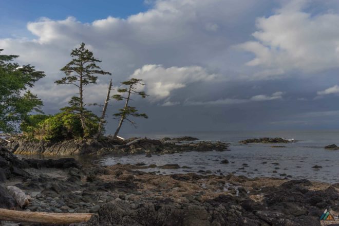
On our last day we finally woke to real rain! Soon all our things were wet and sandy; Mike was the only one with the skills to keep his dry. We were real coastal hikers now, decked out in full rain gear, plodding and slipping along boardwalks, old corduroy road, and mud puddles. The spongy moss in the bog section popped green and vibrant. Historic rusty artifacts from Cape Scott’s Danish settlers were visible along this section. This was the real rainforest, bathing us in all the fresh molecules of nature. Our group performed bravely during the soaking 15 km exit. About 500 m from the trailhead, I experienced my powerful wave of happiness and gratitude that I always feel near the end of a trip. In that fuzzy place where you know you are almost done, almost back to a hot shower and a comfortable bed, I get a lump in my throat and tear up. The guests were motoring ahead, excited and eager. Mike noticed my familiar “just-before-the-trailhead” state. He hugged me and said, “The wilderness is in your eyes. Remember this feeling. Carry it with you as long as you can. Carry it back to the urban. You will feel it again soon on our next trip. As we keep going on trips together, that feeling will be with you all the time.” All the beauty and wonder of the week crystallized for me in that moment. We met John at the San Josef Trailhead (47 km), charismatic Port Hardy Councillor, driver of the North Coast Trail Shuttle, and passionate north islander. He took everyone’s pictures next to the trailhead sign for the scrapbook. After a comforting hot lunch at the Scarlet Ibis Pub in Holberg, we lurched along the soaked roads back to Port Hardy. We arrived fatigued, but humbled and excited from our shared wilderness experience. We’re still finding sand from the beach!
