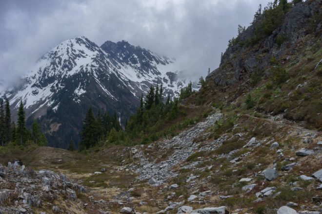
With longer days and warm temperatures, it was time for another trip to beautiful Olympic National Park!
Instead of a coastal route, we opted to explore exciting subalpine and valley drainage areas. The original plan was to complete a clockwise circle around Mount La Crosse for a big lollipop track. However, after reaffirming our goals to test gear, take pictures, and practice skills, we adjusted the route plan. Over five days we hiked 43.2 miles (69 km) from the Staircase Ranger Station along the lush Skokomish River Valley, up to the First Divide, down to the Duckabush River Valley, and up to Marmot Lake Camp near O’Neil Pass. We spent one rest day exploring remote tarns and taking in the mountains before retracing our steps back to the trailhead. The cool weather was perfect and the evenings were comfy. Spring was in full photosynthetic burst with green shoots and colourful wildflowers. There was plenty of water along the route from rivers, creeks, and waterfalls. The forest birds sang from dawn till dusk, and we even had some surprise mega-fauna sightings!
Driving Directions
- Take the Coho from Victoria Inner Harbour to Port Angeles, Washington, USA (90 min sailing). Advance reservations recommended. Cost: $175USD/return for vehicle and 2 passengers. Black Ball Ferry Line
- Drive 1 h 30 minutes (118 km) US-101 E to N Worsted Creek Rd in Mason County. Drive 36 min (25.5 km) on NFD-24 and N Lake Cushman Rd to NF-24. Arrive at Staircase Ranger Station in Olympic National Park and the North Fork Skokomish trailhead. Google Map
Permits & Fees
- Obtain permits at the Wilderness Information Center in Port Angeles.
Books & Maps
- Molvar E. Hiking Olympic National Park: A Guide to the Park’s Greatest Hiking Adventures. 2nd ed. Guilford: Morris Book Publishing; 2008. falcon.com
- Wood R. Olympic Mountain Trail Guide: National Park and National Forest. 3rd ed. Seattle: The Mountaineers Books; 2000. mountaineersbooks.org
- Olympic Mountains East Map 168S. Scale 1:50,000. Seattle, WA: Green Trail Maps, Provisional Edition 2014.
Route Conditions
Weather Updates
Trip Report
Skokomish & Upper Duckabush – May 14-18, 2015
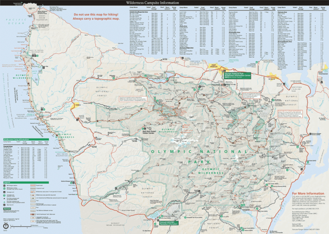
- Distance: 43.2 mi
- Duration: 5 days
- Peak: 4865 ft
- Gain: 4189 ft
Day 1: Staircase Ranger Station to Camp Pleasant (6.5 mi)
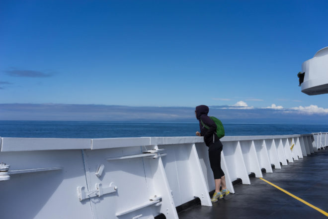
Mike and I caught the 1030 h Coho from downtown Victoria and poured over maps during the crossing. After checking our route plan with the park rangers and buying a permit at the Wilderness Information Centre, we drove to the North Fork Skokomish River trailhead along the sunny Hood Canal. We ate an early dinner in Hoodsport at El Puerto de Angeles IV Family Mexican Restaurant, a place that caters to hungry hikers on their huge outdoor patio. We filled up on burritos while swallows scooped bugs above the dock, and lion’s mane jellyfish captured fish bellow. The pretty Lake Cushman area was our last glimpse of civilization as we arrived at the Staircase Ranger Station (0 miles/853 ft). We got organized and started hiking around 1730 h, slowly climbing along the graded forest trail to Camp Pleasant (6.5 miles/1568 ft). After a snack of dried pineapple and hot tea in the cool darkness, we fell asleep to the soothing white noise of the Skokomish River.
Day 2: Camp Pleasant to Marmot Lake Camp (13.4 mi)
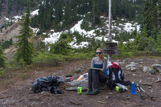
The American robins and the varied thrushes were our alarm clocks. After sunrise, the musical typewriters of the pacific wrens dominated the airwaves. Our second day was a big one as we climbed steadily past Nine Stream Camp (9.8 miles/2025 ft), Two Bear Camp (12.2 miles/3680 ft), and up to the First Divide (13.6 miles/4688 ft). After a yummy lunch stop here, we descended to the Upper Duckabush Junction (16.2 miles/2694 ft), forded a creek, then climbed steadily through the montane forest before fording again (18.5 miles/3319 ft). Spring wildflowers coloured our trail: pink and white trilliums, avalanche lilies, marsh marigolds, globeflowers, stream violets, phlox, bunchberry, and indian paintbrush. The final climb to Marmot Lake Camp (19.9 miles/4400 ft) was on steeper and rockier terrain. After setting up, we gobbled noodles in the fading light, tired but happy from the day’s effort. Our cloudy hike through emerald forests, waterfall areas, slide paths, and mossy meadows had been breathtaking. The best wildlife sighting of the day was a gentle herd of female Olympic elk, climbing the muddy slopes by Nine Stream.
Day 3: Marmot Lake Camp to Lake La Crosse (3.4 mi)
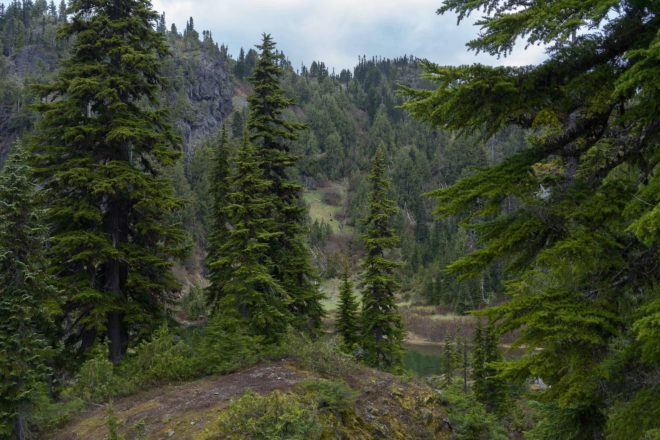
Mike and I woke stiff and sore, but laughed the feeling off. After all, we were carrying heavier packs than usual, and yesterday had been our first big elevation gain of the season. A mother American black bear and her cub dug for breakfast on a grassy slope across the lake. We decided to take an easy day and explore Heart Lake (20.8 miles/4865 ft) and Lake La Crosse (21.9 miles/4718 ft). The subalpine hike up to these lakes was cloudy and cool, with small patches of snow still on the ground. Views of the surrounding peaks were hidden in the mist. Heart Lake, with its rocky viewpoints, was a peaceful spot to rest and eat. The silent shores of Lake La Crosse felt especially wild and remote to me. I imagined this open place a popular spot for animals, although we saw no large creatures there that day. After taking photos, we descended back to Marmot Lake Camp (23.3 miles/4400 ft) and retired super-early to warm sleeping bags. Clouds covered the camp in soft, wet grey as we dozed to the lullabies of hermit thrushes.
Day 4: Marmot Lake Camp to Nine Stream Camp (10.1 mi)
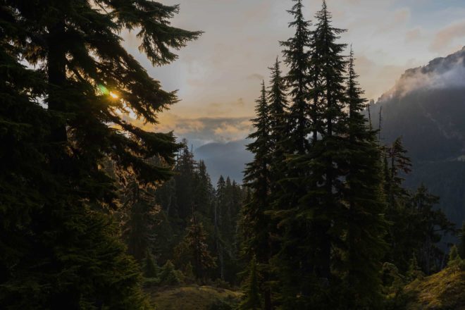
Unbelievably, we awoke after almost 12 hours of unbroken coma-like sleep. We noticed rain on the tent fly, but never heard it fall. The sky broke for the first time that morning, and we could finally see Mount Duckabush and Mount Steel. Mike and I retraced our steps down to Upper Duckabush Camp (27 miles/2694 ft), up thought the forest to the First Divide (29.6 miles/4688 ft), and down to Nine Stream Camp (33.4 miles/2025 ft). Today’s double-descent was less strenuous than the double-climb of Day 2. We relaxed and loved the sunny views of Mount Hopper, waterfalls, avalanche paths, and canyons. The two fords were easier because of lower snow melt in the morning. Pacific wrens were our constant friends in the forest, never seen, only heard. We saw lots of elk sign, but no actual creatures this time. Nine Stream Camp offered us a gorgeous spot right on a Skokomish River gravel bank. We did a pre-dinner “bird bath” in one of the freezing river pools before boiling our usual noodles and falling into a dead sleep.
Day 5: Nine Stream Camp to Staircase Ranger Station (9.8 mi)
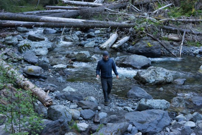
Our last day was a nice downhill cruisey-cruise through the emerald old-growth forest. While watching the river at breakfast, we were surprised to see two “white-water kayaking” ducks go by! Why fly when you can have fun and save energy by floating downstream? There were no major obstacles to cross today, just a few blow-downs near camp. We saw lots of elk trails in this area again, criss-crossing our path in the direction of the mossy slopes and the river. Our food rations were depleting fast, so we chose to gobble the last of it like hobbits with breakfast, second breakfast, elevenses, and lunch. Our last few miles on the raised trail gave us beautiful views of the green Skokomish River and wide cobble beaches. We arrived at Staircase Ranger Station (43.2 miles/853 ft) with plenty of time to enjoy a scenic drive back to Port Angeles and eat lunch at the famous New Day Cafe. Another epic trip in Olympic National Park complete! We felt honoured to explore this very special area, remote and wild, beautiful and rugged.


