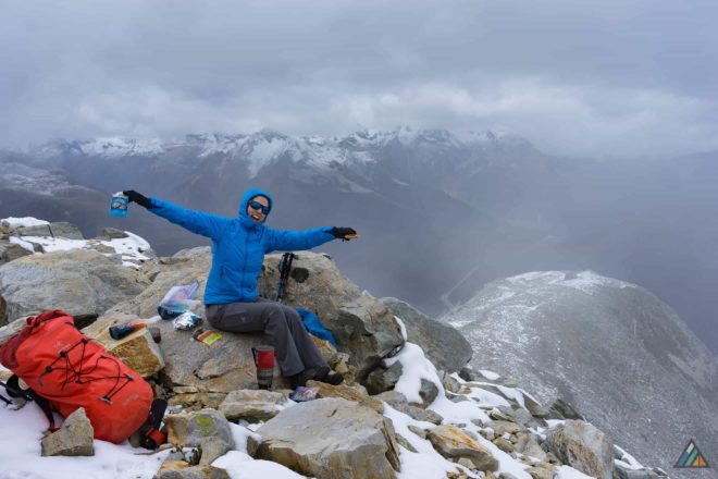
For our treasured day in Glacier National Park, we chose the epic Glacier Crest Trail.
Most people just drive through the Rogers Pass National Historic Site without stopping. But hidden hiking gems are very close to the Discovery Centre. The Glacier Crest trailhead is located at the Illecillewaet Campground. These sweet front-country campsites have a remote feel even though close to the highway. Other Glacier hiking trails spring from this zone including: Marion Lake, Great Glacier, Avalanche Crest, Asulkan Valley, Sir Donald, Perley Rock, and Abbott Ridge. Illecillewaet Campground was closing for the season. The air was chilly. People were sparse. It was the perfect day to hike in a new National Park. Our biggest lesson was to calibrate and synchronize our GPS, cameras, and watches to the correct time zone. Along the way, some of our instruments crossed back to Pacific Time (Revelstoke) while others stayed in Mountain Time (Golden). The time zone change is at the eastern boundary of Glacier National Park, on the eastern slope of Rogers Pass. Temporal anomalies aside, every trip is an opportunity to learn and share our discoveries with you.
Driving Directions
- Drive (718 km/8 h 29 min) from Victoria towards Rogers Pass via Trans-Canada Hwy/BC-1 E. 4 km west of Rogers Pass Discovery Centre turn right into the Illecillewaet Campground and trailhead parking lot. Google Map
Permits & Fees
- All visitors to Glacier National Park require a Day Pass or Discovery Pass. We love our Annual Discovery Pass because it inspires to visit as many of Canada’s National Parks and Historic Sites as we can in a year!
Books & Maps
- National Geographic Guide to the National Parks of Canada. National Geographic Society; 2011. Pages 236-241. nationalgeographic.com
- Hiking in Glacier National Park brochure Download a printable map and trail information (PDF, 4 MB)
Route Conditions
Weather Updates
Trip Report
Glacier Crest Trail – September 27, 2015
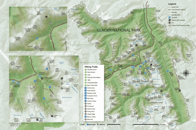
- Distance: 11.9 km
- Duration: 7 h 40 min
- Peak: 2260 m
- Gain: 1015 m
Campground to Glacier Crest Summit (6km)
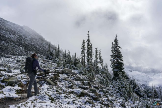
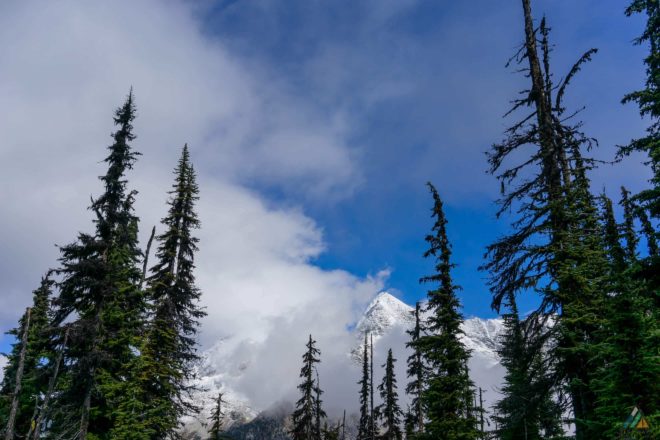
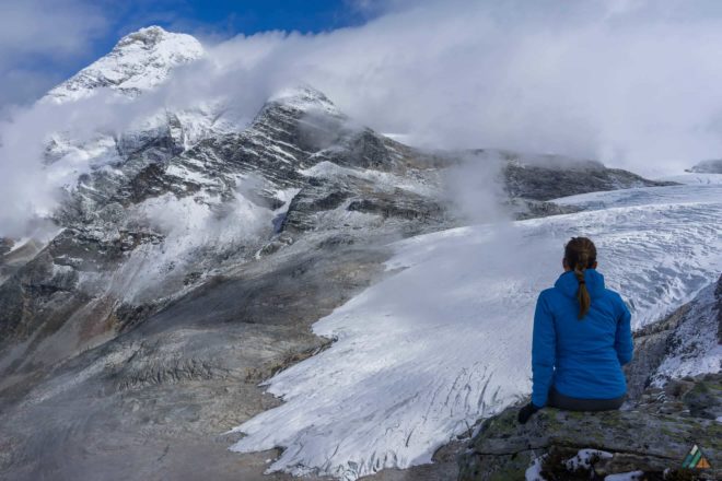
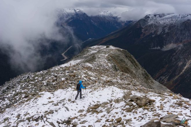
The start of our hike took us through the fascinating ruins of historic Glacier House. We were obsessed with reading all the interpretive plaques. We saved this outdoor museum as a treat for the end. After a walk along the old Canadian Pacific Railway bed, the trail climbed gently through the cool forest. We crossed the Asulkan Brook on a sturdy bridge. The opposite bank was when the real switchbacks began. Our legs settled into a nice climbing pace for the next several hours. Once we broke the tree line, light snow started to appear on the moraine. Tiny pika tracks dotted the white crystals. The day was cloudy as we moved up the snowy route to gain the crest. A massive cairn marked our objective. I felt that familiar feeling of excitement and smallness in the alpine zone, open air dropping all around me. Our bodies cooled down fast. With puffy jackets on, we continued hiking along the crest for excellent views of the famous Illecillewaet Glacier.
Glacier Crest Summit to Campground (6km)
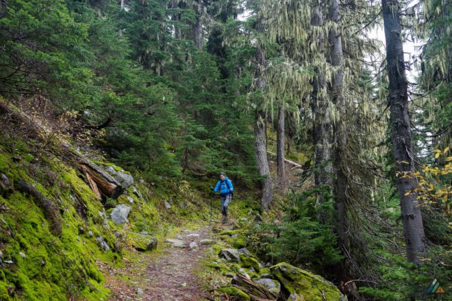
The scene was dynamic with changing clouds so we stayed a while. After hot soup and coffee, we got moving to stay warm. The hike down the same trail gave us a new perspective. We descended from cold white and grey into warm green and brown. A porcupine surprised us near the bridge over Asulkan Brook. Once he saw us, he put up his quills and stalked away. After exiting the forest, we wandered around the old Glacier House grounds. We tried to imagine the silent, shadowy space as a bustling resort with a train station. The prolific interpretive plaques told the remarkable story of the Swiss Guides and the birth of mountaineering in the Canadian Rockies. It’s definitely worth some time to visit this particular spot, even if you can’t do a full day-hike. We look forward to exploring all the other trails in Glacier National Park. A cozy spot at the Illecillewaet Campground is the way to go next time.
