For our first day in Jasper National Park, we hiked the Opal Hills Loop near Maligne Lake.
Bears were on our mind. A ranger at the Visitor Centre told us that a grizzly had just been released in the Bald Hills. Several other zones were closed due to increased bear activity. The Opal Hills side was good to go however, with general bear country precautions in effect. Driving to the trailhead allowed the opportunity to collect real-time data. We watched the mountain topography and noted last minute weather changes. A real treat was seeing mysterious Medicine Lake. Fellow terp-geeks (people obsessed with interpretive plaques) will understand our need to stop and read all about this strange anomaly. Who wouldn’t be fascinated by a massive lake that periodically disappears with no visible drainages? The area around the lake had been altered by a July 2015 wildfire. Trees were skeletal and black, but a few pockets of delicate green plant life poked up. Unique sights were everywhere on approach. The trailhead finally appeared in the farthest of three parking lots to the left of Maligne Lake Chalet. We packed our essentials, attached our bear spray, and hit the trail.
Driving Directions
- Travel 10 h 14 min (885 km) from Victoria, BC to Jasper, AB. From the town of Jasper drive east for 2 km on Hwy 16 and turn right on the Maligne Lake Road. Cross the bridge follow the Maligne Lake Road for 46 km to the parking lots before the Maligne Lake Chalet. This parking lot has three levels and for this trail you want to park in the upper or third parking lot. Look for the trail kiosk in the corner of upper parking lot. Google Map
Permits & Fees
- All visitors to Jasper National Park require a Day Pass or Discovery Pass. We love our Annual Discovery Pass because it inspires to visit as many of Canada’s National Parks and Historic Sites as we can in a year!
Books & Maps
- Patton B. & Robinson B. Opal Hills. Canadian Rockies Trail Guide. 8th ed. Summerthought Publishing; 2007. Page 232-233. www.summerthought.com
- Jasper & Maligne Lake. Scale 1:100,000. Gem Trek Publishing; 7th edition. www.gemtrek.com
Route Conditions
Weather Updates
Trip Report
Opal Hills Loop – September 29, 2015
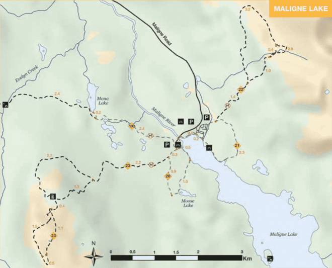
- Distance: 11.1 km
- Duration: 6 h 43 min
- Peak: 2511 m
- Gain: 809 m
Trailhead to Viewpoint 2511 m (6.5 km)
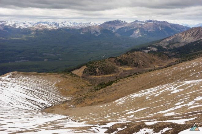
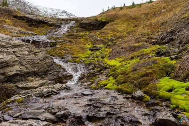
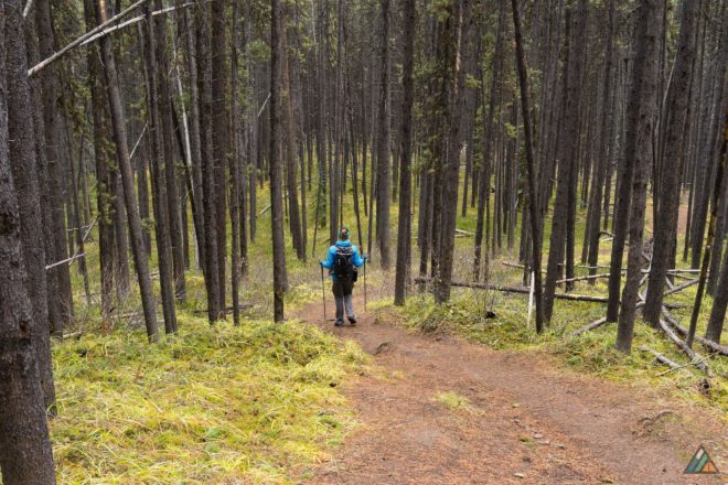
The Opal Hills Loop overlapped with the Mary Schaffer Loop for about 500 metres before breaking off and climbing through the forest. Our bodies were getting conditioned to heart-pumping Canadian Rockies ascents. As always, we marvelled at the high quality of the park trails. The following notes were tacked to trail-side trees: “This tree is part of a project to gather hair from Grizzly Bears. With the hair, we can identify individuals from the DNA, and stress levels from the hormones. Please be careful not to touch the barbed wire.” We love the bears and felt happy to learn how they are studied and helped. Once we arrived at the tree line (3.6 km), the trail opened onto a huge alpine meadow. We imagined the myriad of wildflowers that would pop up in the springtime. Our cloudy fall day was still rich with colourful textures: soft yellow leaves, sharp evergreens, chocolate earth, rusty slopes, dusty gray snow. After hiking the flat valley with knife-like ridges all around, we came across a disturbance in the dirt. From the trail, it looked like a jumble of sharp rocks. We walked over to the strange feature, and discovered a huge hole about two metres wide. The ground had been dug up around a boulder, exposing slabs of sharp rocks. We guessed the work was done by a bear, and marvelled at the strength required for such an excavation. After crossing the meadow, we veered towards a mossy creek gully to rest and refuel. We enjoyed our food and water, then hiked up the scree to see Maligne Lake.
Viewpoint 2511 m to Trailhead (4.6 km)
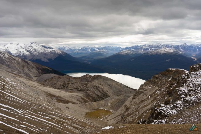
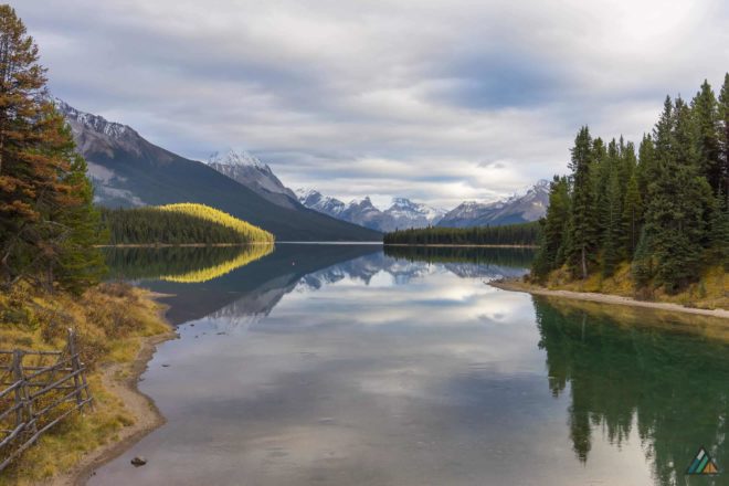
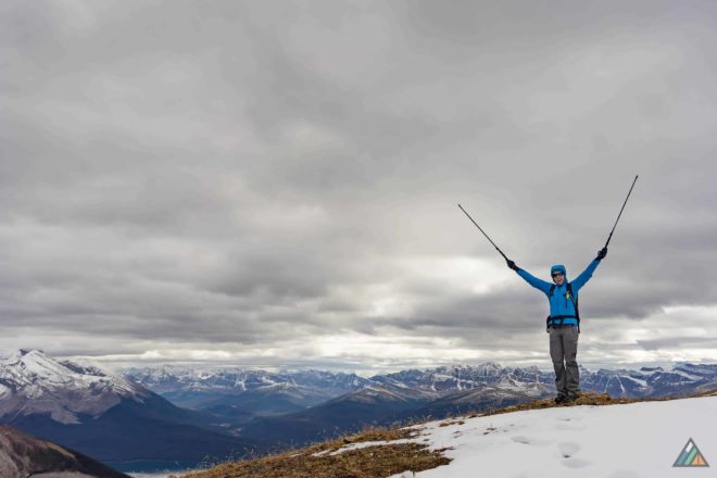
Our high point at 2511 m gave us incredible views of Maligne Lake and the meadow we just traversed. We kept looking for wildlife from our perch but didn’t see any mammals. A flock of swallows joined us at the “summit.” We took the opportunity to study the natural lines of the landscape. The delicate dusting of snow highlighted thin trails that would otherwise have been invisible. Elk tracks were fresh, so perhaps those trails belonged to the animals. I felt more confident that day in the alpine, not small and vulnerable like I usually do. My mind was adapting to the feeling of exposure. Keeping warm and putting on layers before I felt too cold helped a lot. After taking a few hundred photos, we started our descent to link up with the original trail again. The temperature was falling and the last pair of tiny hand warmers found their way into my gloves. The spectacular mountain views continued as we went down, finally disappearing as the trees became thicker and the air warmer. Eventually, we closed the loop in the emerald forest and exited down along the handle of the “lollipop.” A few sunbeams broke through the metallic clouds as we finished the trip. The Opal Hills Loop is an excellent and highly recommended Jasper National Park hike! We learned later that the hills were named by pioneer Mary Schäffer Warren for their rolling shapes and red colour. The landscape was definitely luminous and grand…a special place worth exploring.
