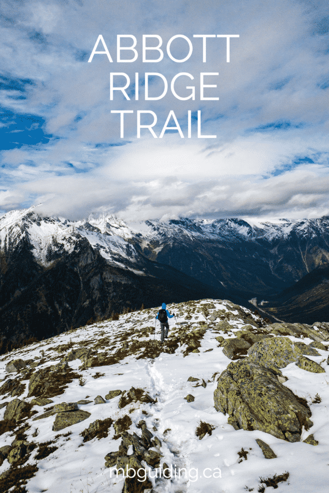
The Abbott Ridge Trail in Glacier National Park switchbacks up through mountain forests and alpine tundra, ending on a scenic narrow ridge.
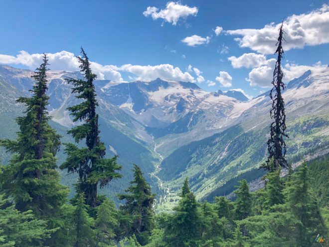
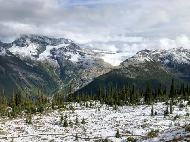
With a return distance of 13.6 km and elevation gain of 1029 m, the trail is an excellent workout. Your efforts are rewarded with breathtaking views of the surrounding peaks. The trail even has a surprise lake at 1700 m, offering a nice break spot with a side trail to a viewpoint. If you only have time for one hike in Glacier National Park, and you have the energy and stamina, Abbott Ridge is your classic Columbia Mountains day-trip. Sights include the Asulkan Valley, Asulkan Glacier, Mount Sir Donald, Vaux Glacier, Mount Abbott, Eagle Peak, Uto Peak, Illecillewaet Glacier, and more!
Permits Required
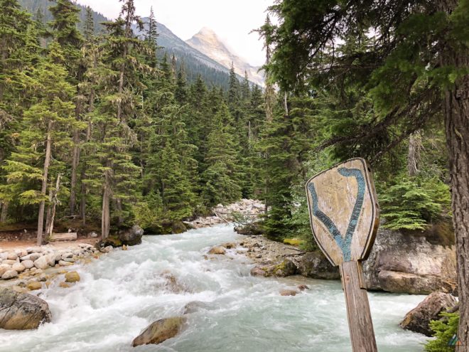
All visitors to Glacier National Park require a National Park Entry Pass. As of January 1, 2018, admission to Parks Canada places for youth 17 and under is free. Everyone else is required to pay an admission fee.
Driving Directions
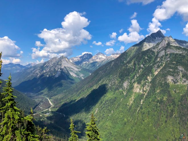
The Abbott Ridge Trail is located in Glacier National Park. The Illecillewaet, Loop Brook, or Mount Sir Donald campgrounds make an excellent staging area. The trailhead is located at the end of the road past the campsites. Google Map
Camping Options
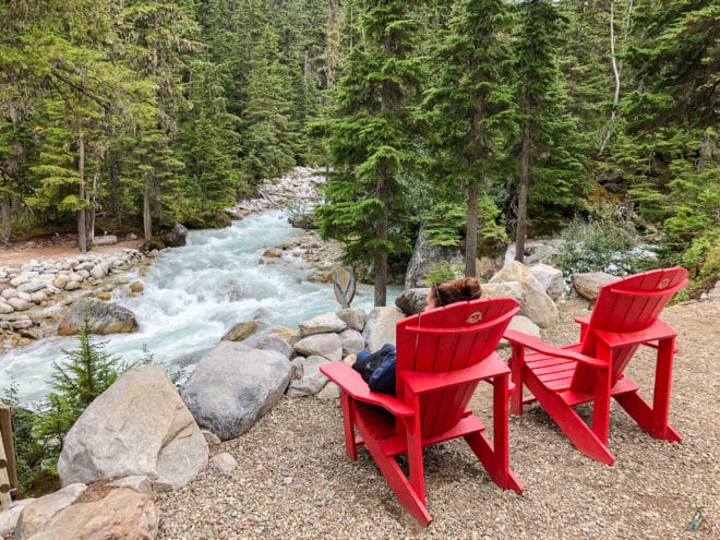
Parks Canada maintains three front-country campgrounds near the summit of Rogers Pass: Illecillewaet, Loop Brook, and Mount Sir Donald. All campgrounds are first-come-first-served (FCFS). Illecillewaet (60 sites) and Loop Brook (20 sites) have similar amenities: flush toilets, kitchen shelters, and food lockers. Illecillewaet Campground is a short distance from the ruins of the Glacier House Monument and the start of most Glacier alpine day hikes. Illecillewaet Campground also offers a staffed welcome station and interpretive boards. This is our preferred campground to stage out of. Loop Book is equally lovely, but smaller and a few km further from the Glacier House trailheads. We have not stayed at Mount Sir Donald.
Trip Reports
- Illecillewaet Campground to Abbott Ridge – September 28, 2020
- Illecillewaet Campground to Abbott Ridge – August 5, 2018
Illecillewaet Campground to Abbott Ridge – September 28, 2020
- Distance: 14.1 km
- Duration: 1 day
- Peak: 2259 m
- Gain: 1163 m
- Route: CalTopo
Glacier National Park is one of our favourite places to hike in the Canadian Rockies. For early fall 2020, we had a late-season opportunity to spend three days in the area. We secured a quiet site at Loop Brook Campground, our first time staying there together. Illecillewaet Campground, our first choice due to trailhead proximity, was closed because of COVID-19 spacing regulations. Loop Brook was almost empty, with seasonal campground closures slated in a few days. The drive from Loop Brook to the Illecillewaet trailheads was short. We took advantage of a warm car to change clothes and pack lunch. The Abbott Ridge Trail was an almost perfect day hike for us, with excellent September mountain weather, and few other people. Our only miscalculation was overdressing at the start, and having to peel off base layers a few minutes into the uphill hike!
Weather
The forecast was for clear skies and cool temperatures. We experienced partially cloudy skies and cool temperatures. The sun occasionally broke through the clouds to warm us.
- 0900 h, Illecillewaet Campground. Elevation: 1250 m, Sky: broken clouds, Precipitation: nil, Temperature: 6.0°C, Humidity: 92.1%, Wind: calm.
- 1400 h, Abbott Ridge. Elevation: 2260 m, Sky: broken clouds, Precipitation: nil, Temperature: 13.5°C, Humidity: 50.7%, Wind: moderate SE.
- 1615 h, Illecillewaet Campground. Elevation: 1250 m, Sky: broken clouds, Precipitation: nil, Temperature: 10.7°C, Humidity: 88.3%, Wind: calm.
Route
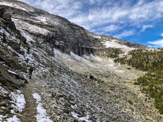
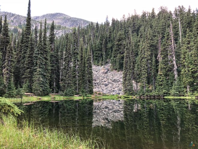
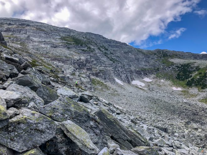
The Abbott Ridge Trail is a classic Rockies “up and down” experience. We started the day with long, steep forest switchbacks that got our hearts and legs pumping. Marion Lake was a beautiful mid-point objective at 1700 m. We took our first snack break at the windy lookout just beyond the lake. After more climbing, a trial junction gave us the option for a clockwise or counter-clockwise route. We opted to go clockwise, the less steep and more sweeping approach to Abbott Ridge. The open boulder bowl was a fun feature to traverse. We saw the tiny foot prints of pikas in the early season snow. Views of the Asulkan Valley and Rogers Pass stretched below at intervals.
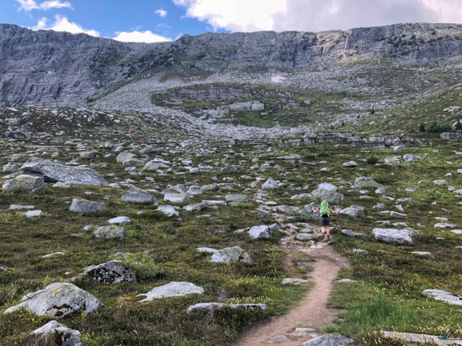
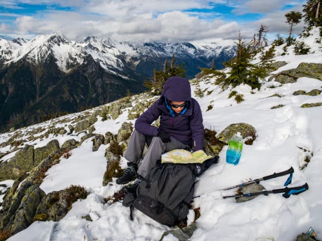
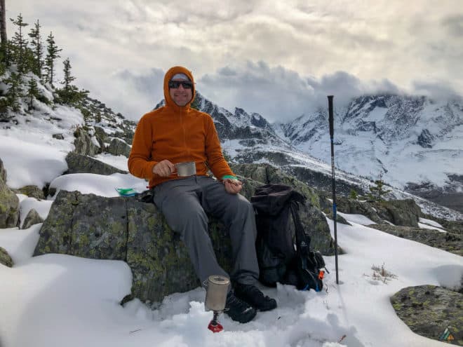
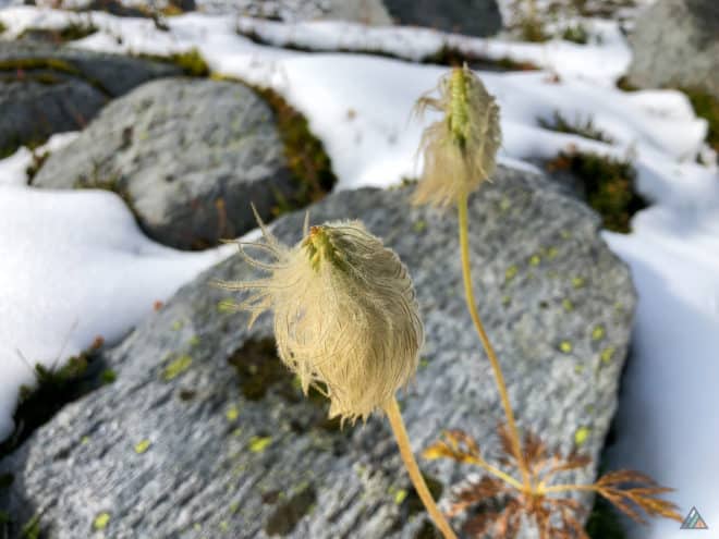
We crossed the rocky meadow below the ridge in another series of open switchbacks. Snow melt, ponds, mud, and ice made footing tricky in places. Most of the wildflowers had gone to sleep, but fuzzy western anemones bobbed in the cool breeze. We passed beneath the rock wall quickly, then climbed up to the Abbott Ridge marker through a maze of snow and rock. After a quick photo at the top, we dropped a few metres down the slope to enjoy a wind-free lunch. The paper map and compass emerged for some lunchtime peak identification. We were happy for insulated trail seats during the break.
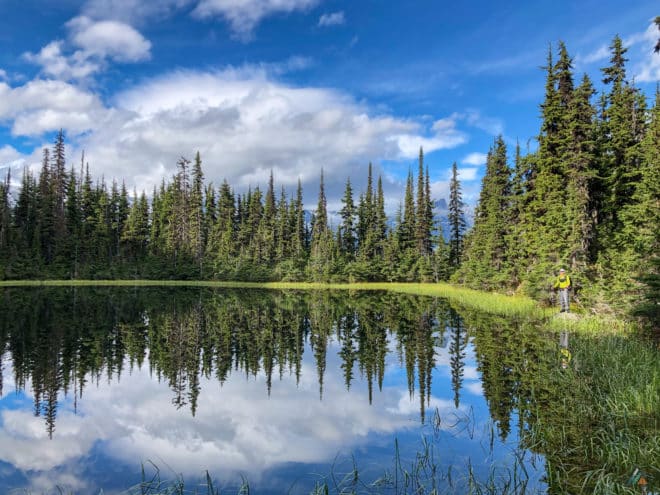
Our bodies warmed quickly with food and motion on the descent. We hiked the other arc of the loop to make a lollipop-shaped track, and took our last break at Marion Lake. The late afternoon sun coloured the shore bright green and reflected the surrounding trees in a perfect mirror. After moving down the forested switchbacks in the darkening and cooling air, we arrived back at the ruins. The unmanned interpretive table that had been set up the previous two days had been removed. Its hand-written white boards had listed all the bear sightings of the season, as well as other safety information. The missing table was just one more quiet signal that summer was over and winter was soon to come. We drove back to Loop Brook for our final night, and enjoyed a restful sleep.
- Illecillewaet Campground to Abbott Ridge (return). Distance: 15.28 km, Duration: 6:56’27, Ascent 1085 m, Ascent Time: 2:59’49, Descent: 1088 m, Descent Time: 2:16’41. Suunto
Wildlife
No megafauna sightings. We saw ravens and hawks flying above, but heard few other birds at this time of year. Pikas chirped at us from their rock homes, but we only saw their footprints in the snow.
Hazards
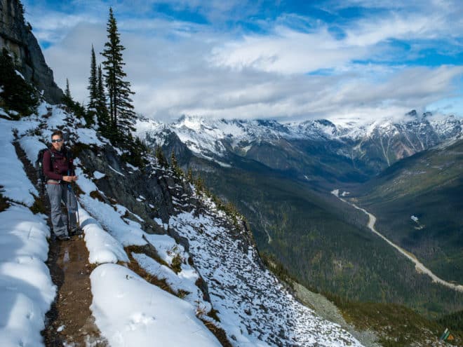
We were prepared for anything from hot sun (sunglasses, sun hat, sunscreen) to rain, snow, and cold (warm layers, waterproof boots). Our bodies experienced a wide temperature range over the day. Hiking up, we had on light shirts, but on the ridge we needed our jackets. The Abbott Ridge Trail was well marked with periodic junction signs; however, we had to do some minor route-finding through the snowy meadow. On the last leg from the meadow to the Abbott Ridge trail marker, a rock wall loomed. Pointy stones stuck in the trail, indicating that rockfall was a real hazard in this zone. We did not linger. The ridge top was windy and cold. We put on extra layers right away. On the way down, there were some icy and snowy patches to re-navigate.
Illecillewaet Campground to Abbott Ridge – August 5, 2018
- Distance: 13.6 km
- Duration: 6 h 30 min
- Gain: 1029 m
With Mike guiding a group on the Nootka Trail, I found myself solo for August long weekend. Fortunately, my best girlfriend Victoria was also free! We decided to seize the opportunity to explore Glacier National Park together. The weekend was a “go for it and see what happens” kind of experience. BC Day was the busiest tourist weekend of the year. We had no reservations and little hope for a front-country campsite in the park.
I flew to Kelowna after work on Friday night. We rose early on Saturday and drove straight to Glacier, arriving in the Rogers Pass area at campground “checkout time.” Our first choice was Illecillewaet Campground, but it was full. Fearing we would have to backtrack to a Revelstoke motel, we drove 2 km to Loop Brook Camp for a last chance effort. Three sites were unoccupied! Incredulous, we did a risky drive-around to evaluate, then settled on an open corner site away from the washrooms and picnic shelter. Within 20 minutes, the other sites had filled. The moral of the story: never assume a worse case scenario! The chance of getting a site was low, but it wasn’t zero. Our persistence and early effort paid off and we staged for two days of premium alpine day hiking. We checked conditions with the rangers at the Rogers Pass Discovery Centre and committed to Abbott Pass and Hermit Trail. Victoria and I don’t get to see each other too often these days, so hiking together on a summer weekend in a world-class park was exceptional.
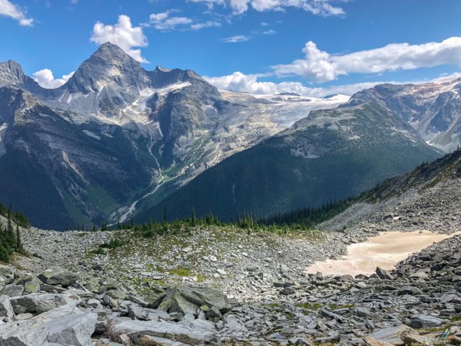
The Abbott Ridge Trail begins just beyond the ruins of the Glacier House Monument. Our starting elevation was about 1260 m. Once we passed the trailhead sign, we started the strenuous uphill hike at 0930 h. The air was cool and we enjoyed shade while we warmed our muscles. After slogging up through the forest, we took a snack break on a breezy lookout near Marion Lake (1700 m). This beautiful subalpine lake had a surface like glass, reflecting the stony rubble in the background. Before long we passed a trail junction which indicated a short-cut via a steeper trail. We opted to stay to the left and take the long, sweeping approach up. As we got closer to breaking treeline, the views got more spectacular. The Asulkan Valley stretched deep and green to our left.
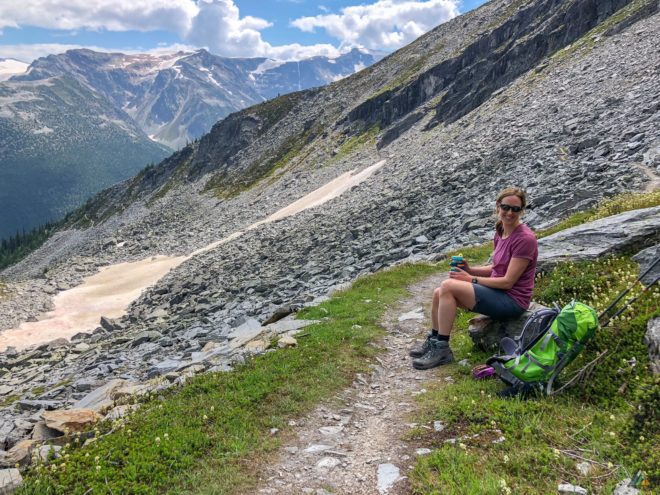
Soon we reached a boulder bowl and hiked around the contour. We could hear pikas in the rocks, but did not see any. The switchbacks continued up a rubbly meadow, with a clear view of our Abbott Ridge objective. The trails were excellent and well-maintained. There were no snow fields to cross. All we had to do was continue up the well-engineered path. There were lots of other people tackling Abbott Ridge. Some folks had off-leash dogs who probably scared any animals. Wildflowers dotted the landscape, including my favourite western anemones. After we cleared the meadow, the trail wound around to the backside of the ridge for the final “ascent.” We were treated to a few more switchbacks before arriving at the Parks Canada “End of Trail” obelisk.
This zone was clustered with people, so we hiked a bit further along the ridge to a chunky rock for lunch (2270 m). Excellent clear views rewarded our effort. I could see the end of Glacier Crest Trail where I had visited a few years back. We spent about an hour up there, soaking in the panorama and sun rays. For our descent, we stayed to the left and took the steeper trail down to that junction and made a lollipop. Trekking poles were super helpful during the downhill. After hours of silent grinding, we found ourselves at the Glacier House Monument. A great day behind us, we made our way back to camp to put on sandals, re-hydrate dinner, and plan the next day!
