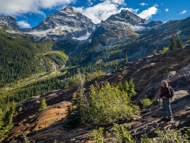
The Great Glacier Trail in Glacier National Park is a beautiful hike up to the bare and striated bedrock below the Illecillewaet Glacier.
With a return distance of 6.4 km and an elevation gain of 321 m, this trail is an excellent half-day option. The wonderful Illecillewaet zone includes nine day-hikes with a mix of easy, moderate, and difficult options. The moderate Great Glacier Trail is among the shortest trails in the area, but well-worth the uphill effort. Hike through the shady forest alongside the Illecillewaet River for the first segment, then experience a scenic cardio workout through open, rocky trail. Spend time in the bedrock zone just beyond the trail terminus to observe amazing post-glacial landforms. Sights include Mount Sir Donald, the Vaux Glacier, and colourful valleys.
Permits Required
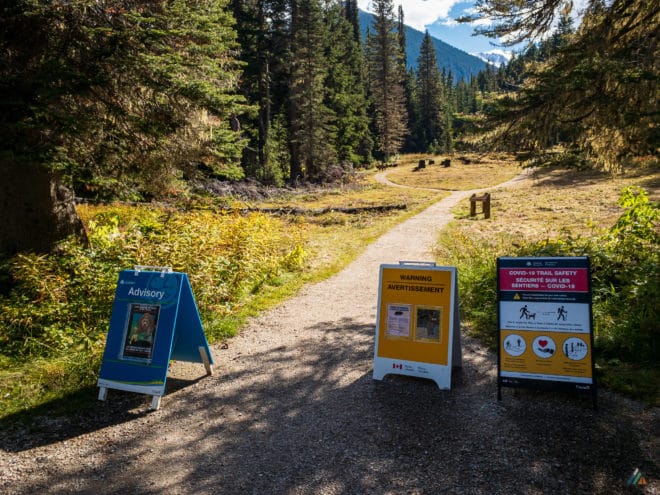
All visitors to Glacier National Park require a National Park Entry Pass. As of January 1, 2018, admission to Parks Canada places for youth 17 and under is free. Everyone else is required to pay an admission fee.
Driving Directions
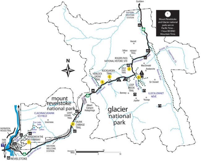
The Great Glacier Trail is located in Glacier National Park. The Illecillewaet, Loop Brook, or Mount Sir Donald campgrounds make an excellent staging area. The trailhead is located at the end of the road past the campsites. Google Map
Camping Options
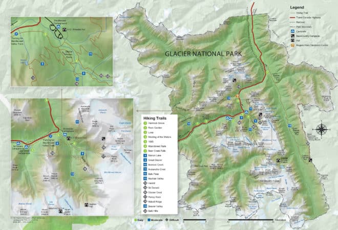
Parks Canada maintains three front-country campgrounds near the summit of Rogers Pass: Illecillewaet, Loop Brook, and Mount Sir Donald. All campgrounds are first-come-first-served (FCFS). Illecillewaet (60 sites) and Loop Brook (20 sites) have similar amenities: flush toilets, kitchen shelters, and food lockers. Illecillewaet Campground is a short distance from the ruins of the Glacier House Monument and the start of most Glacier alpine day hikes. Illecillewaet Campground also offers a staffed welcome station and interpretive boards. This is our preferred campground to stage out of. Loop Book is equally lovely, but smaller and a few km further from the Glacier House trailheads. We have not stayed at Mount Sir Donald.
Trip Report
Illecillewaet Campground to Great Glacier Bedrock – September 29, 2020
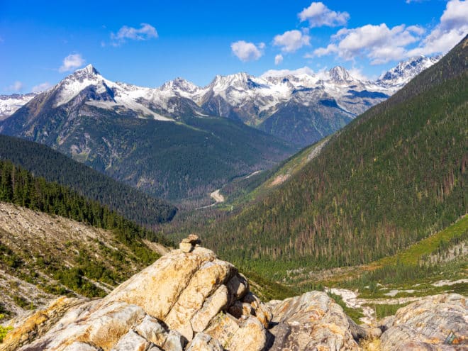
- Distance: 7.0 km
- Duration: 1 day
- Peak: 1680 m
- Gain: 487 m
- Route: CalTopo
Glacier National Park is a place we like to spend multiple days. For September 2020, we had a late-season opportunity to hike three days in the park. For our final day, we chose a shorter hike as we planned to drive to Golden in the afternoon. The Great Glacier Trail is rated by Parks Canada as a moderate day hike with an elevation gain of 321 m. The route takes hikers up to the sloping bedrock below the Illecillewaet Glacier. We packed the car, said a final goodbye to Loop Brook Campground, and drove the short distance to the Illecillewaet trailheads. We experienced an invigorating and sunny morning in a beautiful zone, observing this area from yet another vantage point.
Weather
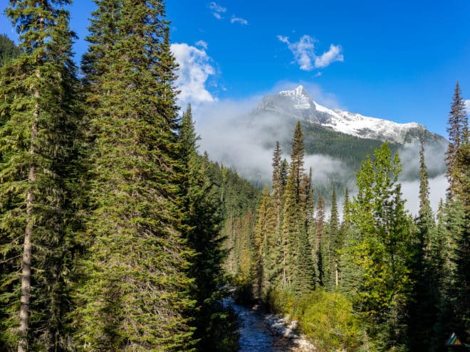
The forecast was for clear skies and cool temperatures. We experienced partially cloudy skies and cool temperatures. The sun occasionally broke through the clouds to warm us.
- 0900 h, Illecillewaet Campground. Elevation: 1250 m, Sky: few clouds, Precipitation: nil, Temperature: 6.4°C, Humidity: 94.5%, Wind: calm.
- 1100 h, Great Glacier Bedrock. Elevation: 1680 m, Sky: scattered clouds, Precipitation: nil, Temperature: 11.7°C, Humidity: 91.3%, Wind: calm.
Route
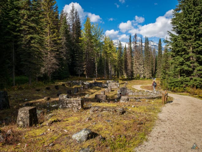
We walked the historic ruins of the Glacier House Monument on the way to the trailhead. We were excited to complete the Great Glacier Trail together, as this was a new trail for both of us! Our goal of completing all the day hikes in Glacier National Park became closer. Great Glacier is an older name for the Illecillewaet Glacier. Over the last 100 years, the ice has receded well upslope and the ice is blocked from view at the trail terminus.
We started hiking up gentle slopes and took our first break on the Illecillewaet riverbed. The water flowed wide and shallow in this zone, and we filled our bottles. The forest was rich and green with moss. The route became progressively more challenging, as the trail moved through rocky areas with steep switchbacks. The hot sun made the day feel like summer. We crossed paths with two other small groups of hikers on the ascent.
The trail ended once we reached the bedrock. A creek cut across the end of the trail and we hopped over it. We opted to step onto the bedrock and explore upslope for about 500 m or so. There were a few cairns sprinkled about, but the best route was not obvious with the sun in our eyes. After our snack break, we made our way down one of the rocky ribs almost right to the creek. We retraced our path back to the car, happy with the day’s effort. The Great Glacier Trail is an excellent 3-4 day hike, with unique view of Mount Sir Donald and the Vaux Glacier.
- Illecillewaet Campground to Great Glacier Bedrock (return). Distance: 7.52 km, Duration: 3:28’01, Ascent 461 m, Ascent Time: 1:25’48, Descent: 467 m, Descent Time: 1:13’20. Suunto
Wildlife
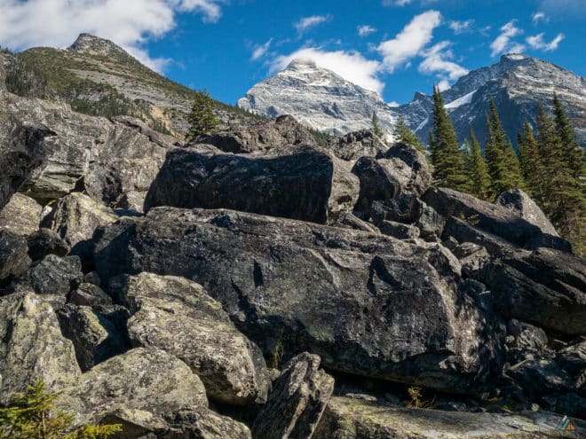
No megafauna viewing or signs. We heard ravens and birds of prey above, and pikas squeaking at us from inside the rock piles. All around us but hidden from view, the animals must have been quietly preparing for the cold winter season ahead.
Hazards
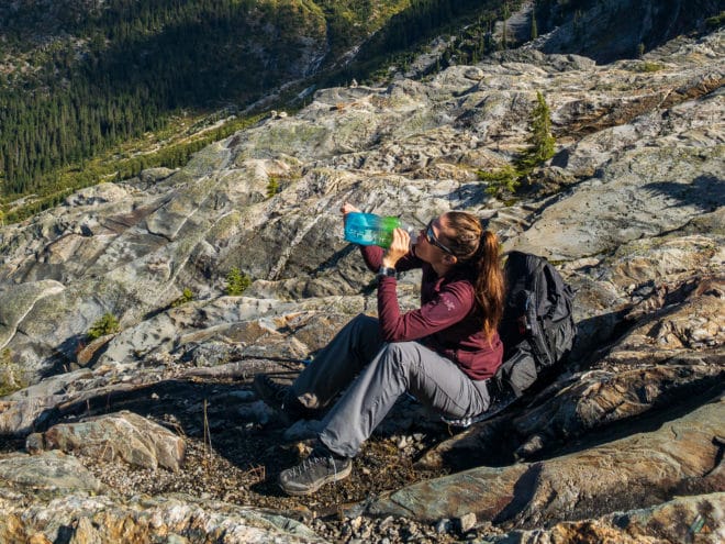
Once we broke tree-line, we were exposed to the warming morning sun. Make sure sunscreen is already on and water bottles are full from the Illecillewaet River on the way up. If you want to explore the bedrock, there is no trail to follow so wilderness navigation skills are required.
